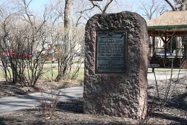
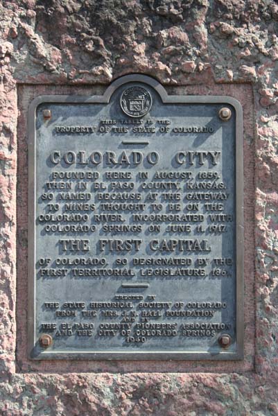
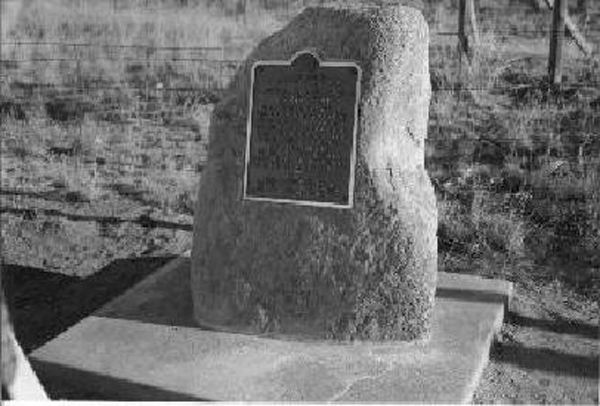
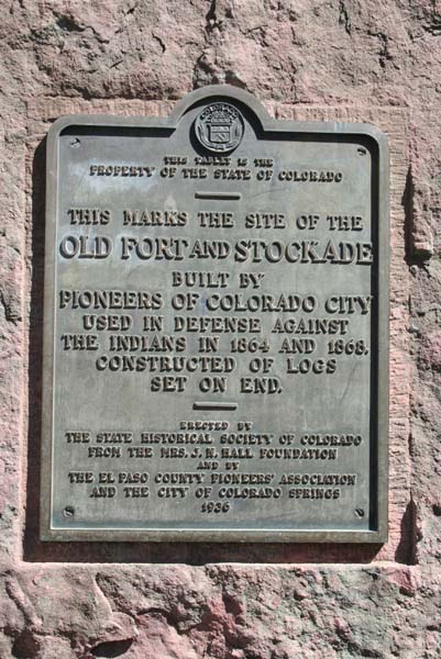
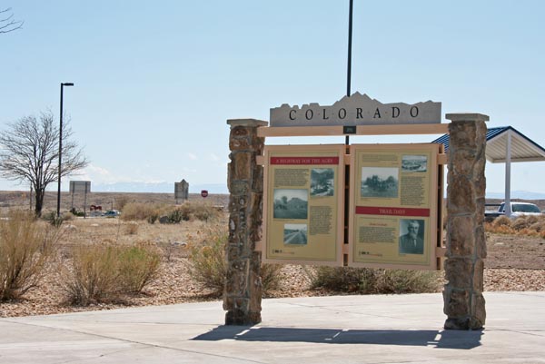
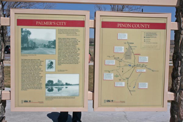
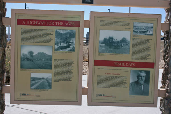
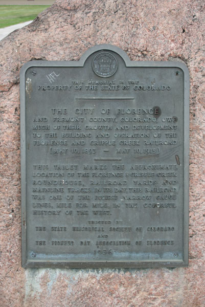
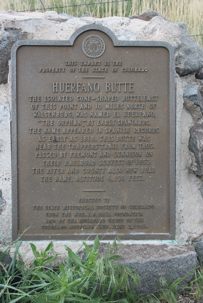
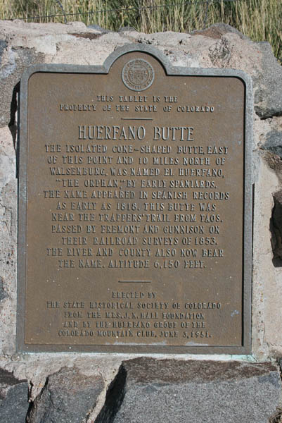
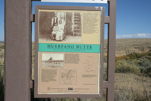
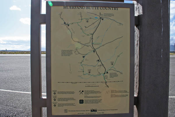
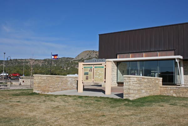
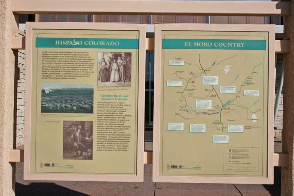
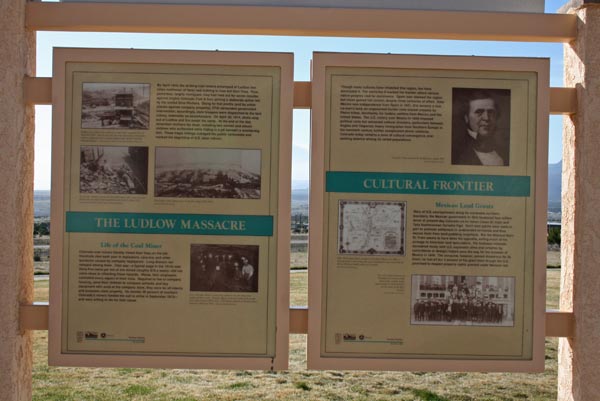
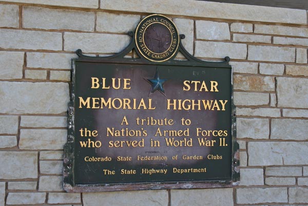
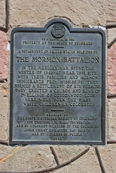
Colorado Historic Markers
|
Colorado Historic Markers |
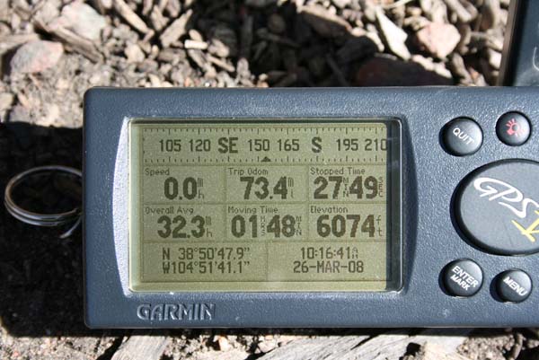
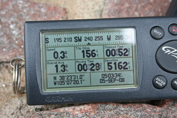
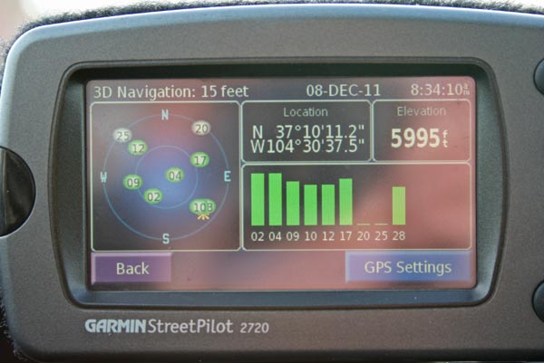
| Feature Name | ID | Class | County | State | Latitude | Longitude | Ele(ft) | Map | BGN Date | Entry Date |
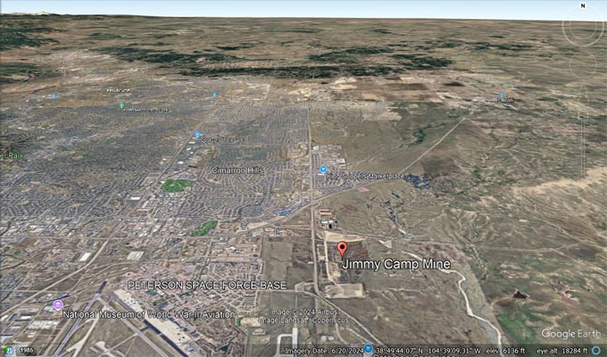
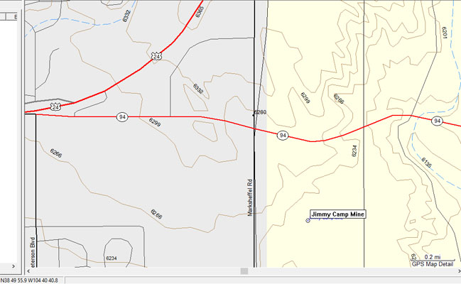
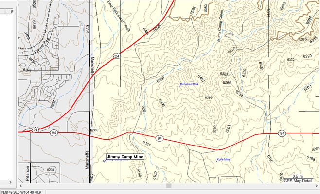
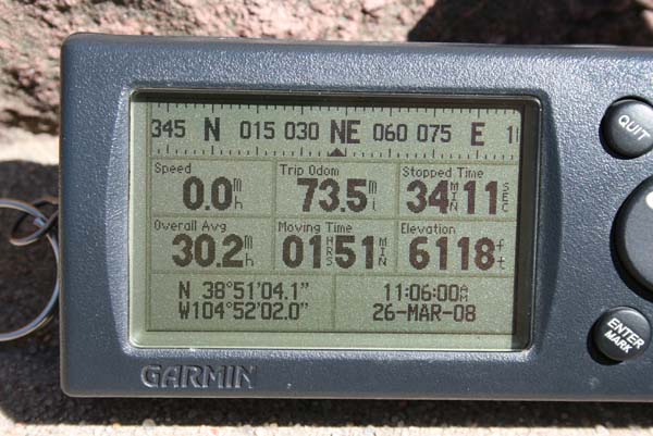
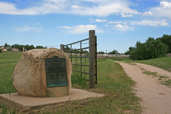
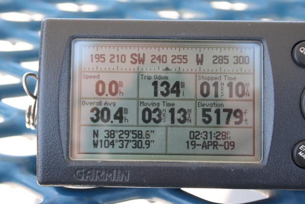
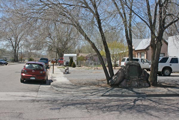
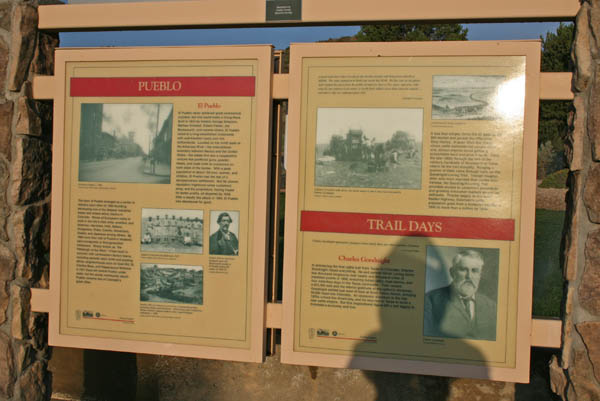
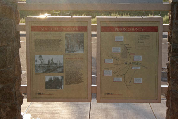
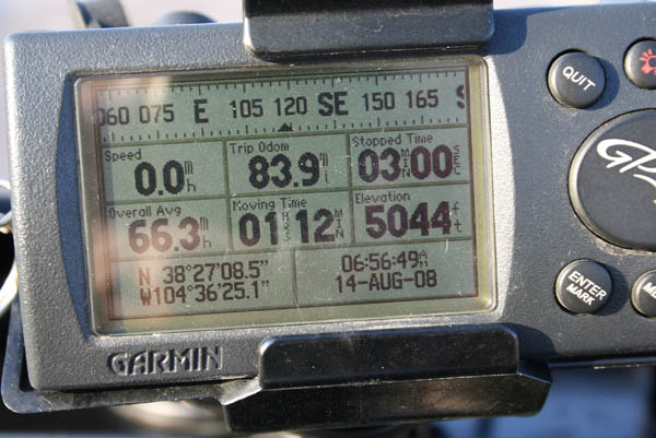
| Jimmy Camp Mine | 1734076 | Mine | El Paso | CO | 384956N | 1044041W | 6227 | Elsemere | - | 14-MAY-1997 |
| Jimmy Camp Creek | 193372 | Stream | El Paso | CO | 384019N | 1044156W | 5489 | Fountain | - | 13-OCT-1978 |

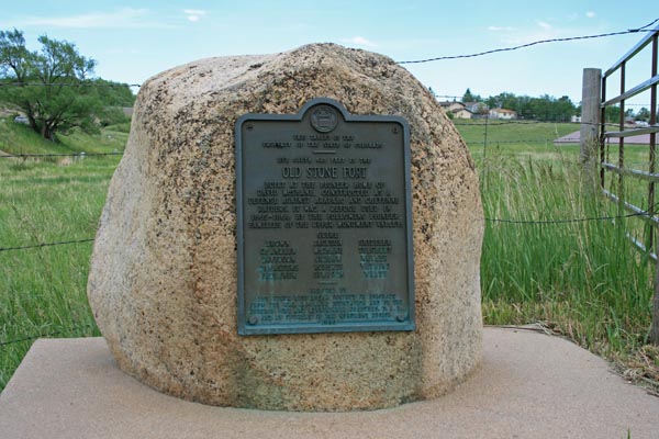
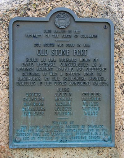
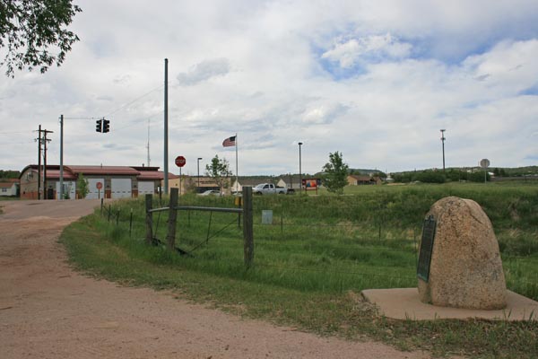

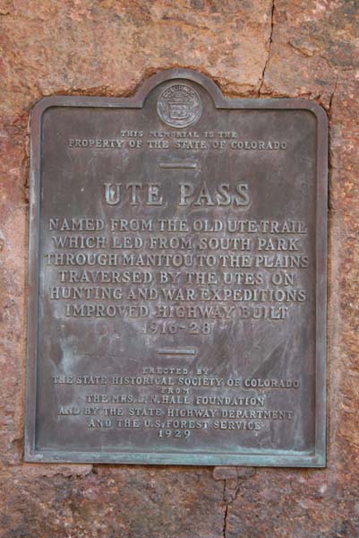


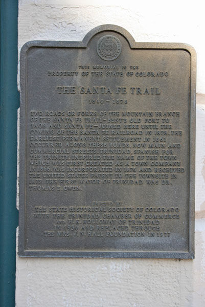
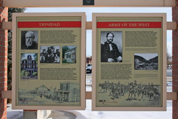
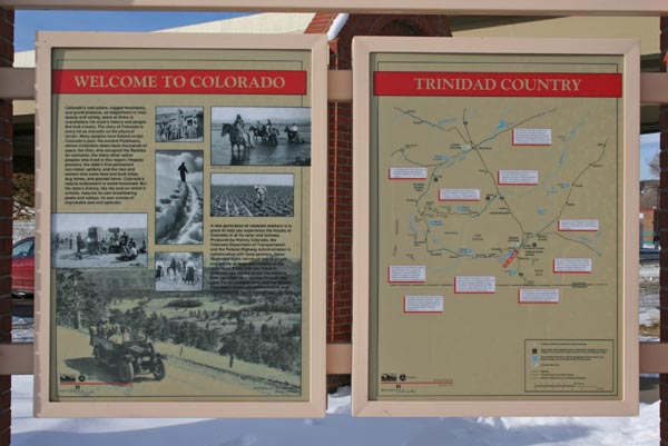
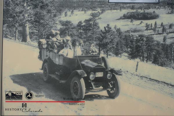
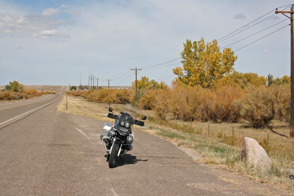
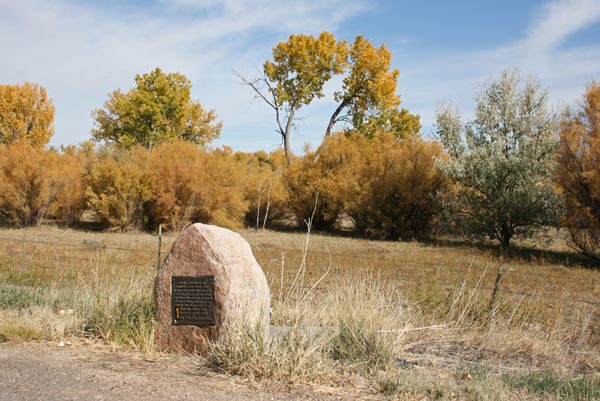
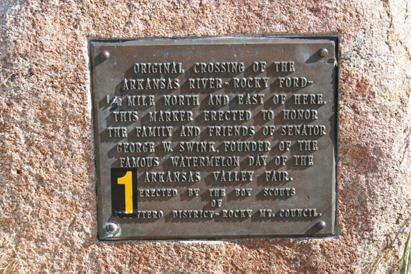
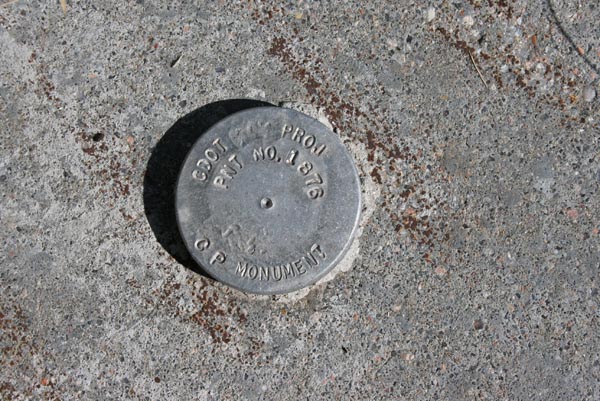

Back to Colorado Historic Markers page
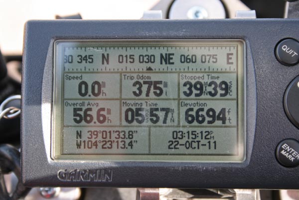
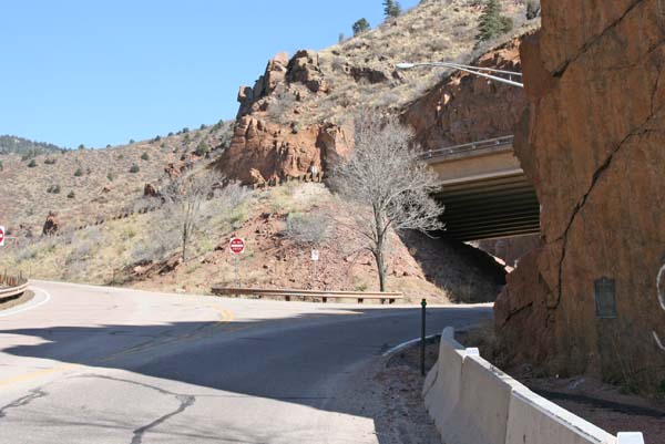
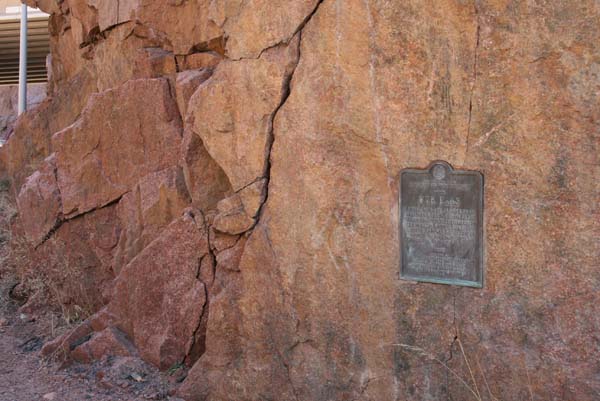
Back to Pass Bagger page