
Broad Pass
|
Broad Pass |
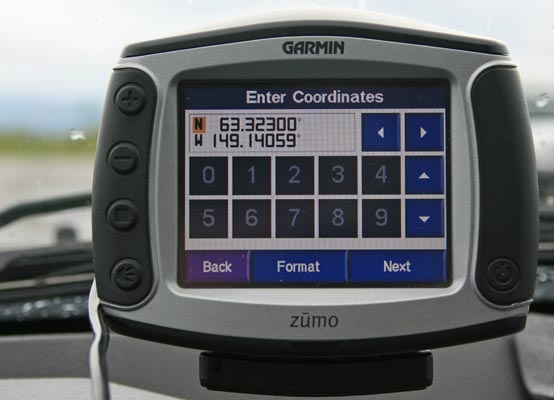
Broad Pass - Matanuska-Susitna - Alaska - 2,113 feet
Cook Inlet to south. Yukon River to north.
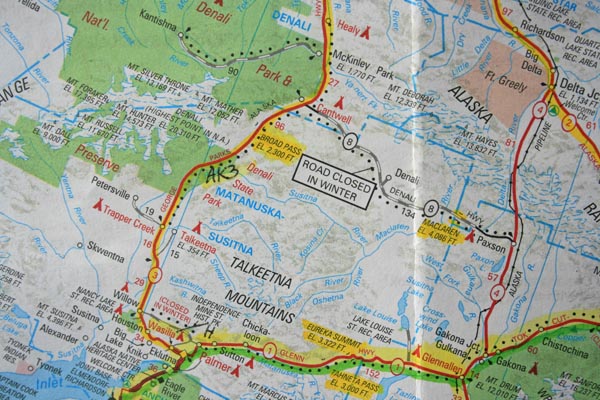
On the Parks Highway (AK-3) south of Cantwell.
paved - road bike
photos by Randy Bishop, 06/17/2018
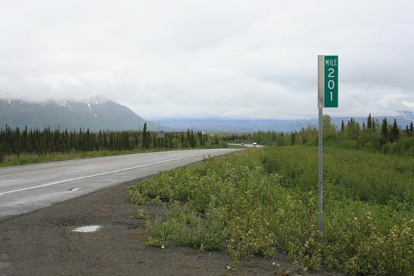
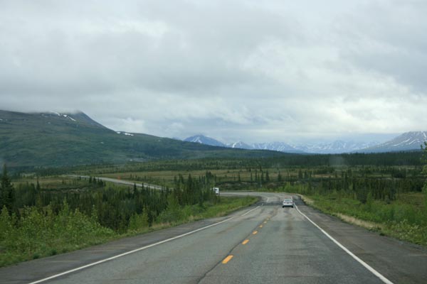
At MP-201, looking north. |
At MP-201, looking east. |
At MP-201, looking south |
At MP-201. |
At MP-201. |
At MP-201. |
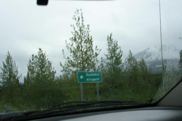
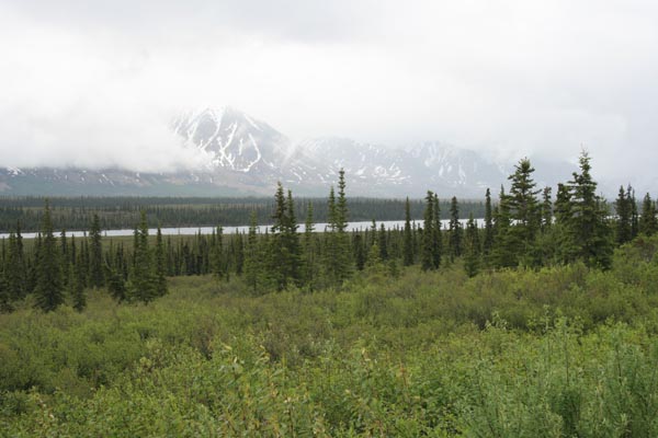
Summit Airport, at about MP-201,3. |
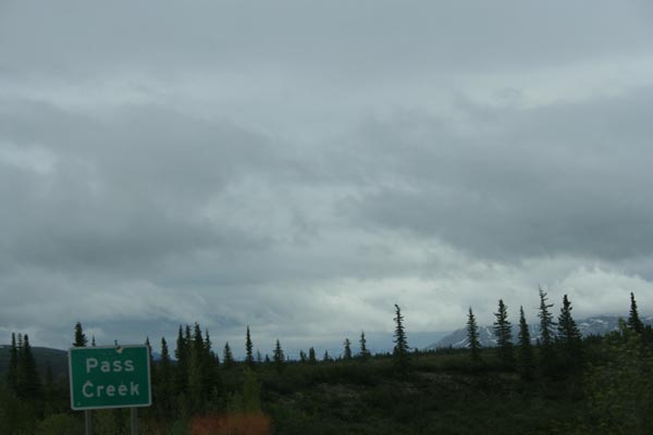
Pass Creek, at about MP-208. |
At about MP-208, looking north. |
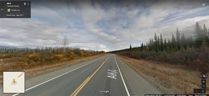
Google Maps, Street View, on road nearest to Broad Pass coordinates, looking north. |
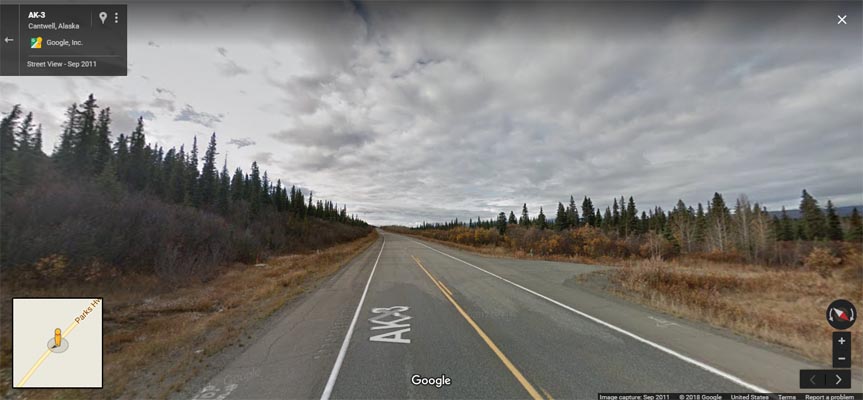
Google Maps, Street View, on road nearest to Broad Pass coordinates, looking south. |
Google Maps |
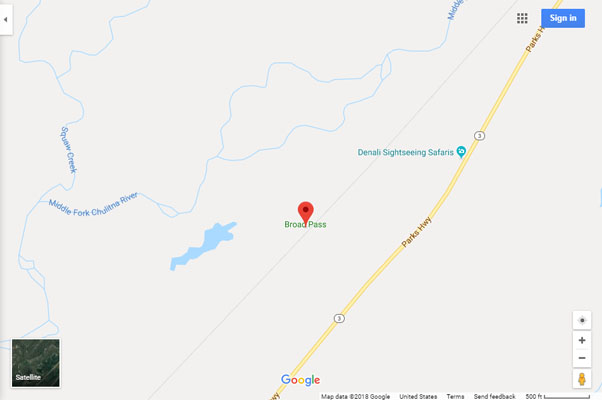
Google Maps |
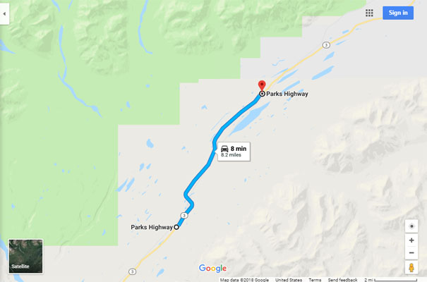
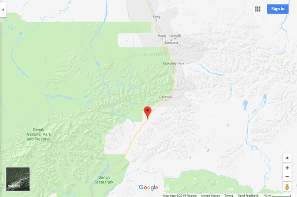
Google Maps, showing route from MP-201 to Broad Pass coordinates. |
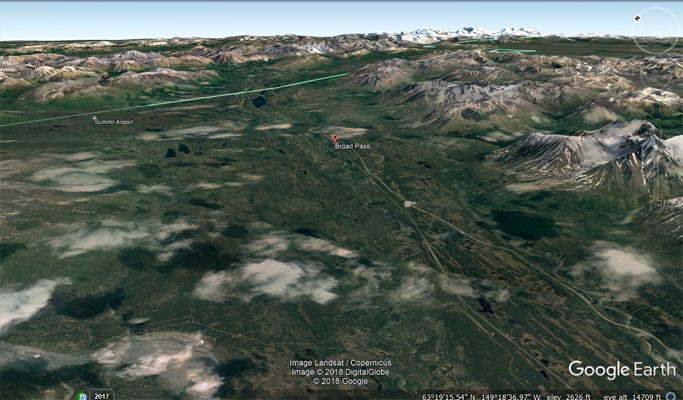
Google Earth, looking northeast. |
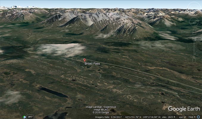
Google Earth, looking east. |
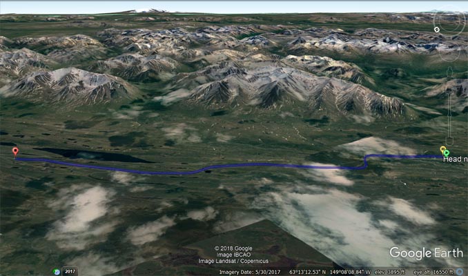
Google Earth, showing route from MP-201 to Broad Pass coordinates. |
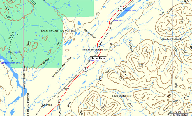
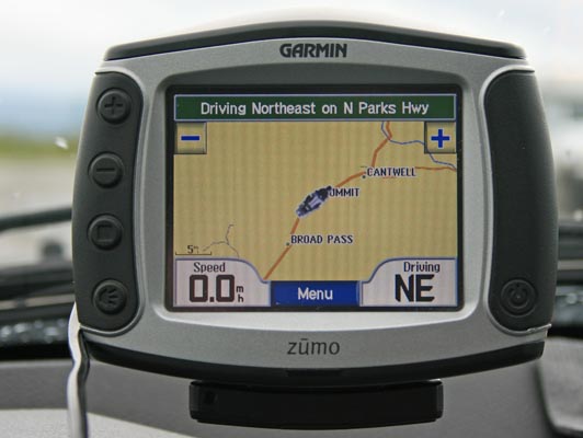
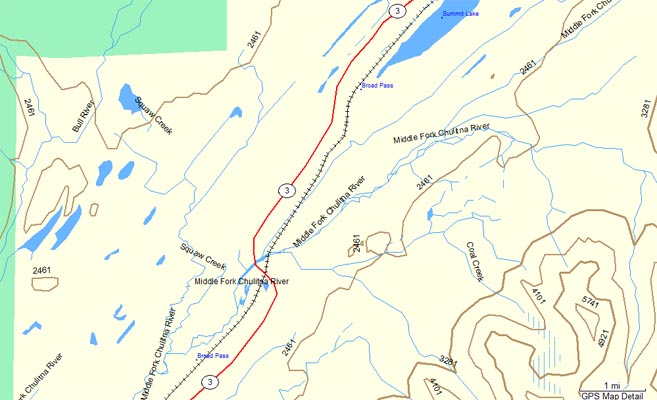
Garmin Mapsource. Notice Broad Pass, a second Broad Pass, and Summit Lake. |
Garmin Mapsource |
Notes from The Milepost:
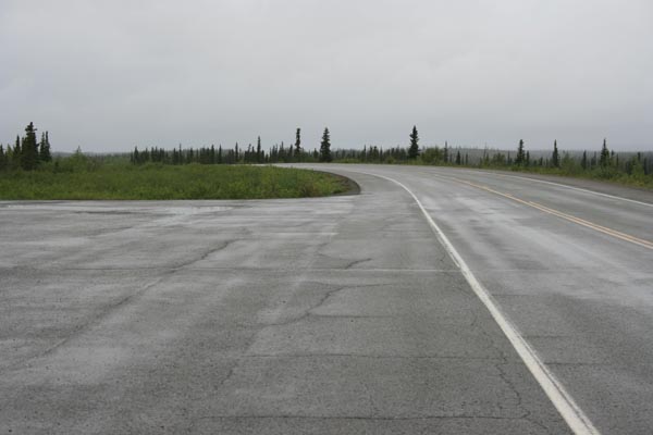
MP-195, entering Broad Pass northbound. MP-201, large paved parking area. MP-201.3, Broad Pass summit (not signed), 2,409 feet.
Summit airport and abandoned weather service station to west. MP-203.2, Alaska Railroad overpass. MP-203.5, large paved parking
area. MP-208, paved viewpoint to west at south end of Pass Creek bridge.
| Feature Name | ID | Class | County | State | Latitude | Longitude | Ele(ft) | Map | BGN Date | Entry Date |
| Broad Pass | 1399459 | Gap | Matanuska-Susitna | AK | 631354N | 1491638W | 2113 | Healy A-5 | 01-JAN-1914 | 01-JAN-2000 |
From The Milepost:
Alaska’s Highest Highway Passes
Atigun Pass, elev. 4,800 feet, at Milepost J 244.7 Dalton Highway
Maclaren Summit, elev. 4,086 feet, at Milepost P 36.7 Denali Highway
Eagle Summit, elev. 3,685 feet, at Milepost F 107.3 Steese Highway
Eureka Summit, elev. 3,322 feet, at Milepost A 129.5 Glenn Highway
White Pass, elev. 3,292 feet, at Milepost S 14.3 South Klondike Highway
Isabel Pass, elev. 3,280 feet, at Milepost V 197.7 Richardson Highway
Twelvemile Summit, elev. 3,190 feet, at Milepost F 85.5 Steese Highway
Tahneta Pass, elev. 3,000 feet, at Milepost A 122 Glenn Highway
Thompson Pass, elev. 2,678 feet, at Milepost V 25.9 Richardson Highway
Mentasta Summit, elev. 2,434 feet, at Milepost GJ 79.2 Glenn Highway
Cleary Summit, elev, 2,233 feet, at Milepost F 20.5 Steese Highway
NOTE: Chilkat Pass, elev, 3,510 feet/1,070m, at Milepost H 59 Haines Highway, is located just across the border from Alaska in British Columbia.
The highest summit on the Alaska Highway is Summit Pass, elev. 4,250 feet/1,295m, at Milepost DC 373.6 (Historic Milepost 392) near Summit Lake,
British Columbia. The second highest pass on the Alaska Highway, and the highest point on the Alaska Highway between Whitehorse and Fairbanks. is
Bear Creek Summit, elev. 3,294 feet/1,004m, at Milepost DC 1000.1 in Yukon.