
Antelope Gap
|
Antelope Gap |
Antelope Gap - Yuma County - Colorado - 4,104 feet
An intermittent stream flows southeast through the gap.
North of Yuma, southeast of Sterling, southwest of Holyoke.
no access - private land
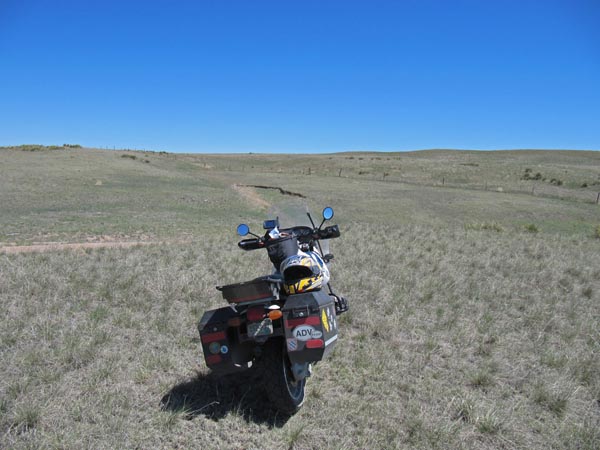
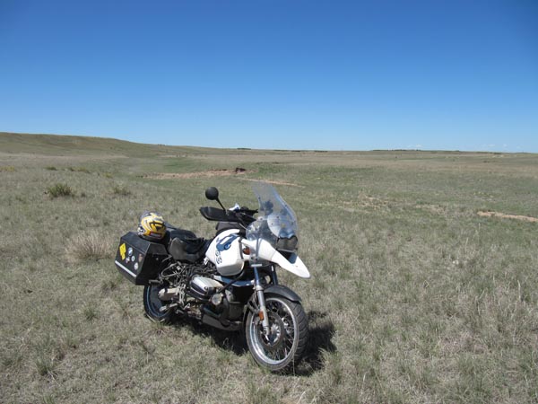
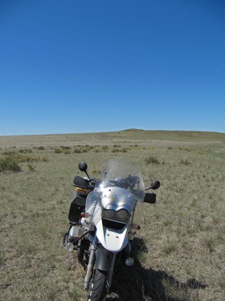
photos by John Meyer, 8/21/2017
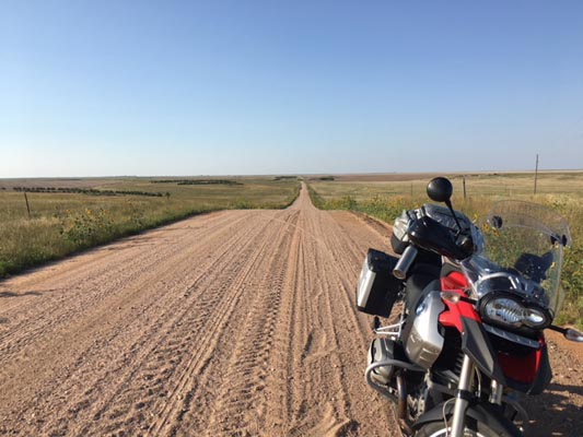
Near the gap. |
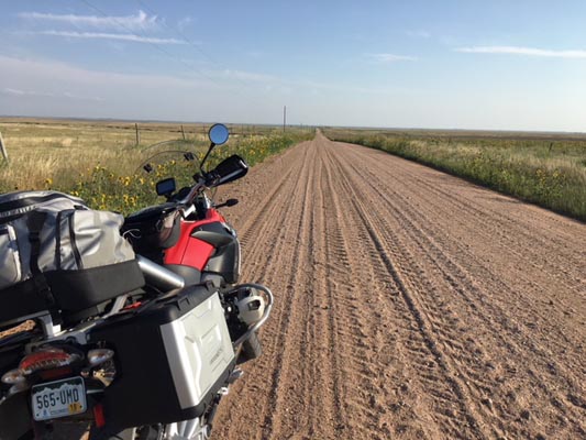
Near the gap. |
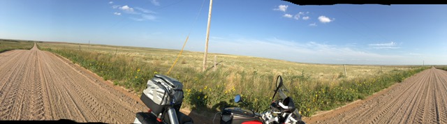
Near the gap. |
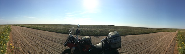
Near the gap. |
Near the gap. |
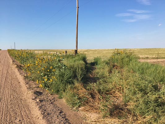
Near the gap. |
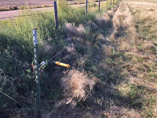
Near the gap. |
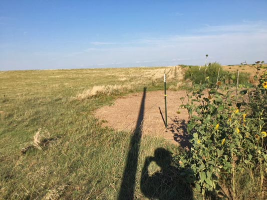
Near the gap. |
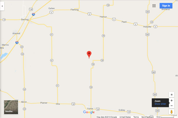
Google Maps |
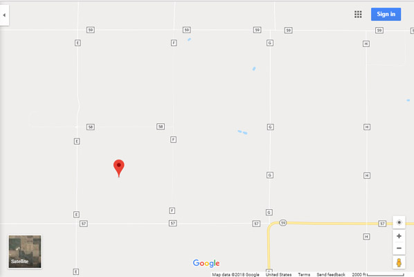
Google Maps |
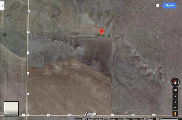
Google Maps |
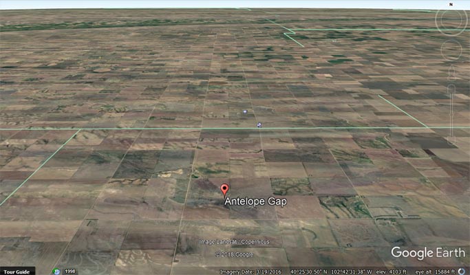
Google Earth |
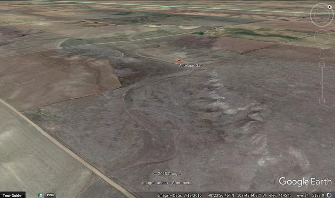
Google Earth |

Garmin Mapsource |
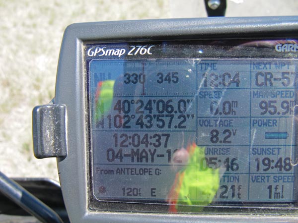
photos by Karst Postma, 5/4/2012
At the gap. |
At the gap. |
At the gap. |

At the gap. |
At the gap. |

Garmin Mapsource |
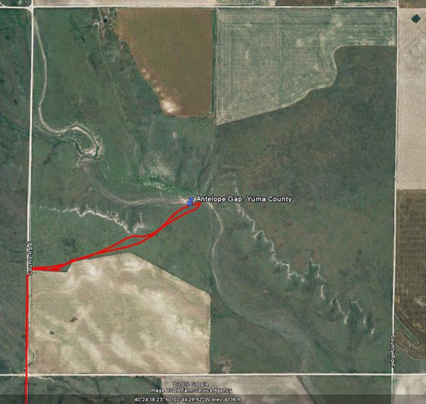
Google Earth |
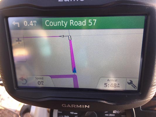
Notes from Karst: Antelope Gap. Easy to get to. Mostly good county dirt roads, last ˝ mile thru a field. The attached map and track shows where there is an open gate from CR-E, just North from CR-57. Looks like the gate has not been in use in a long time. It is just past the field that is in use. No houses anywhere nearby, so nobody to bother you. Probably not a good idea to go in the field when wet, it may be muddy then.
| Feature Name | ID | Class | County | State | Latitude | Longitude | Ele(ft) | Map | BGN Date | Entry Date |
| Antelope Gap | 182885 | Gap | Yuma | CO | 402406N | 1024359W | 4104 | Clarkville | - | 13-OCT-1978 |
From
www.arrowheads.com:
As I find a new site, and if it appears to have promise as more than just a place to find a random artifact, I make a frame for that site,
and include a label in the frame. This year, I started a frame of material from "Antelope Gap" and by the end of the season had a case
with about forty-five artifacts in it. There weren't a lot of perfect points, but it did occur to me that the number of large Flat
Top scrapers was an interesting note. Thinking this through, it is likely that there was a "natural migration" from Flat Top butte,
northwest of Sterling, to this area, and that the large quarry blanks that had been obtained at the quarry site could have easily been
transported this far for later use. Apparently this group of people had plenty of lithic material available for use because there are a
number of large Flat Top waste flakes. Just a little south of this area, the Flat Top waste flakes are much smaller, and by the time you
get the Arikaree river drainage, if you find a piece of Flat Top, chances are that it will be an artifact—there just was not that much of
the material left to work with, in terms of creating camp debitage.