
Antone Gap
|
Antone Gap |
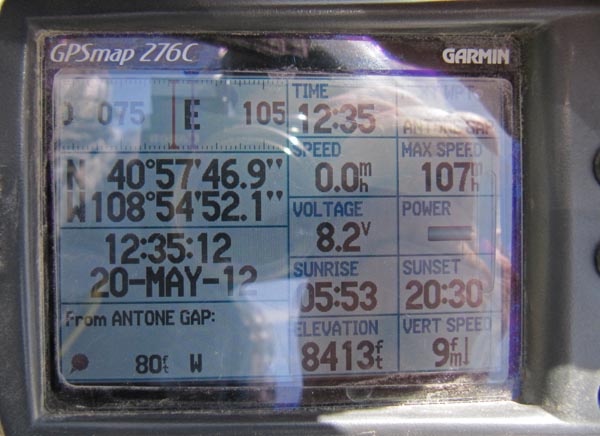
Antone Gap - Moffat County - Colorado - 8,404 feet
Johnson Draw to north. Beaver Creek to south.
About 70 miles northwest of of Maybell.
gravel, dirt - dual sport
Note: Antone Gap is far from gas stations.
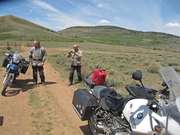
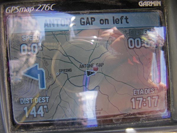
photos by Karst Postma, 5/20/2012
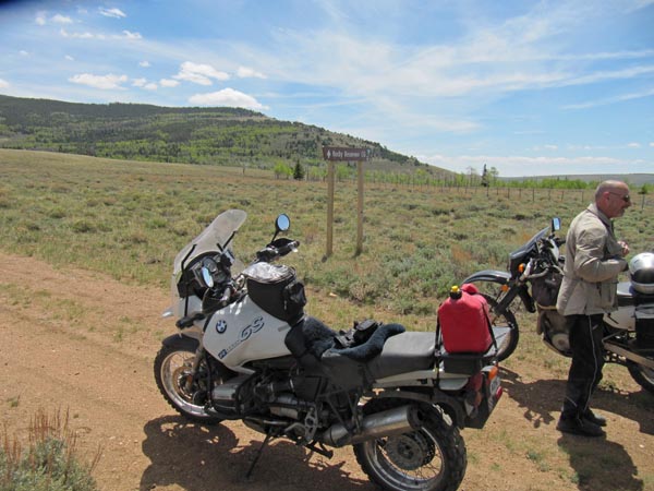
At the summit. |

At the summit. |
At the summit. |

At the summit. |
At the summit. |
At the summit. |
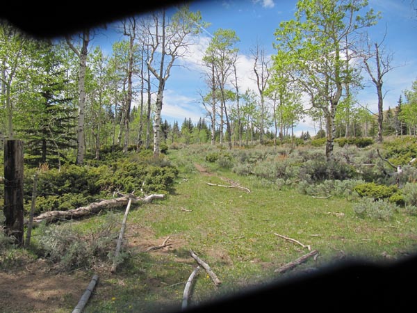
Campground 1/2 mile east. |
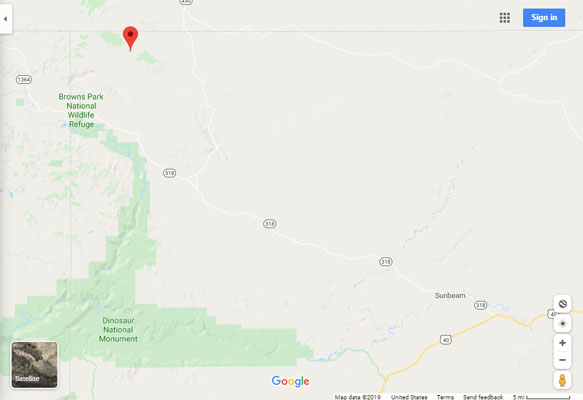
Google Maps |
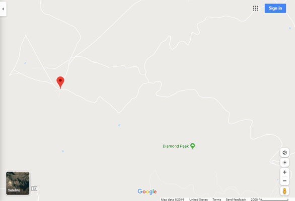
Google Maps |
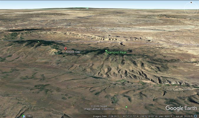
Google Earth |
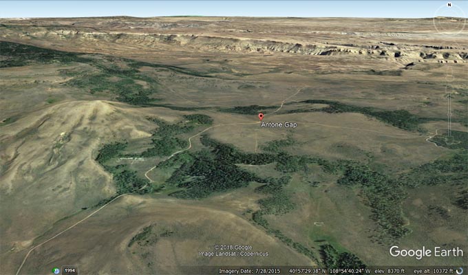
Google Earth |
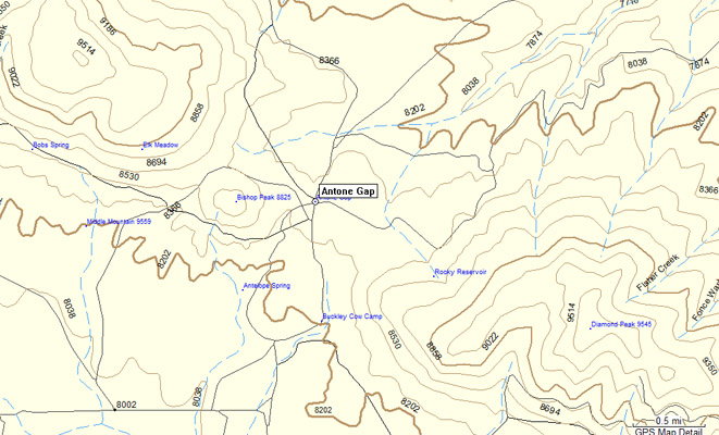
Garmin MapSource |
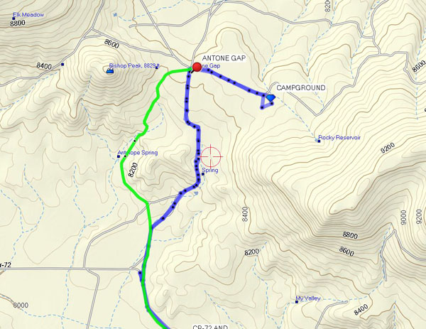
Topo map |
| Feature Name | ID | Class | County | State | Latitude | Longitude | Ele(ft) | Map | BGN Date | Entry Date |
| Antone Gap | 169673 | Gap | Moffat | CO | 405747N | 1085453W | 8412 | Beaver Basin | - | 13-OCT-1978 |