
Argentine Pass
|
Argentine Pass |
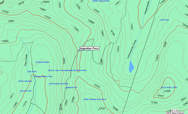
Argentine Pass - Clear Creek / Summit Counties - Colorado - 13,205 feet - on the Continental Divide
Peru Creek to west. Leavenworth Creek to east.
Southwest of Georgetown on CR-352.
West side - hiking trail. East side - dual sport
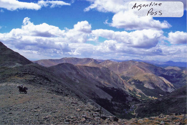
photos by John Meyer, 10/3/2016
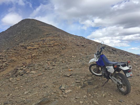
At the summit. |
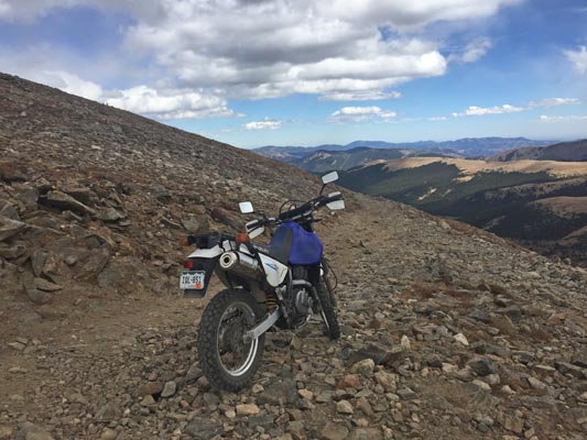
At the summit. |
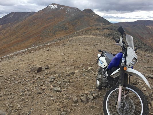
At the summit, looking south toward Argentine Peak. |
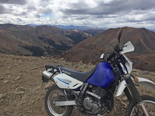
At the summit. |
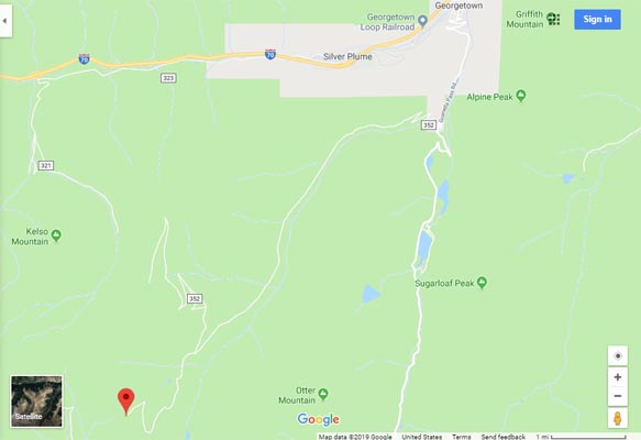
Google Maps |
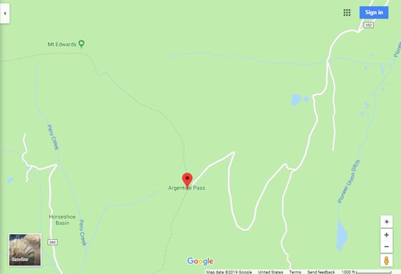
Google Maps |
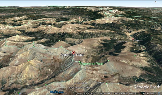
Google Earth |
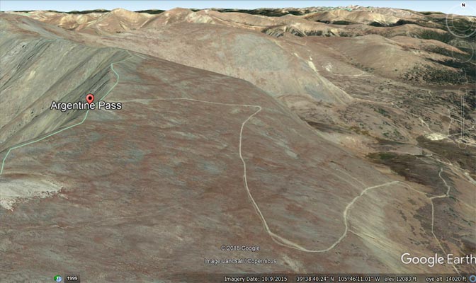
Google Earth |
Garmin MapSource |
photo by Roamin Carloski
At the summit. |
| Feature Name | ID | Class | County | State | Latitude | Longitude | Ele(ft) | Map | BGN Date | Entry Date |
| Argentine Pass | 202858 | Gap | Clear Creek | CO | 393731N | 1054657W | 13205 | Grays Peak | - | 13-OCT-1978 |
| Argentine Peak | 182450 | Summit | Clear Creek | CO | 393644N | 1054638W | 13733 | Montezuma | - | 13-OCT-1978 |
| Argentine Mine | 1693689 | Mine | Clear Creek | CO | 393844N | 1054547W | 11775 | Grays Peak | - | 08-MAY-1996 |