
Aztec Divide
|
Aztec Divide |
Aztec Divide - Montezuma County - Colorado - 6,000 feet
Mud Creek to north. Navajo Wash to south.
Southeast of Cortez on CR-21.
gravel - road bike or dual sport
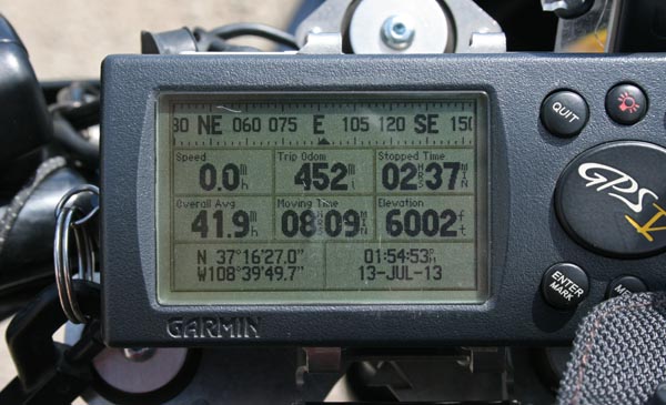
#147 - photos by Randy Bishop, 7/13/2013
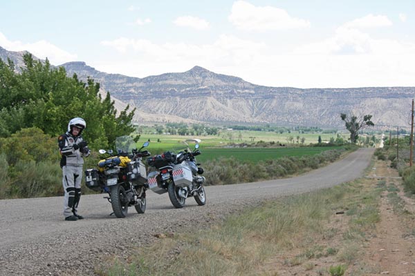
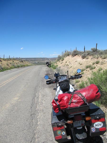
At the summit, looking south. |
At the summit, looking south. |
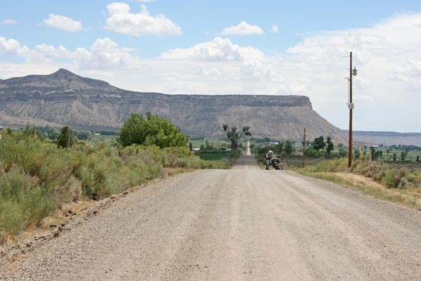
At the summit, looking north. |
At the summit, looking north. |
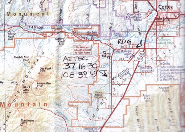
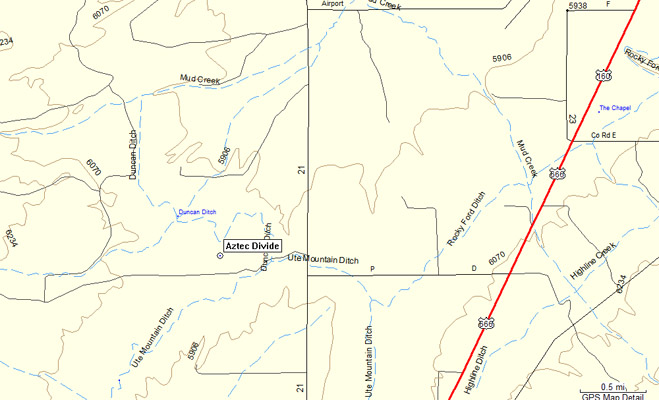
A map. |
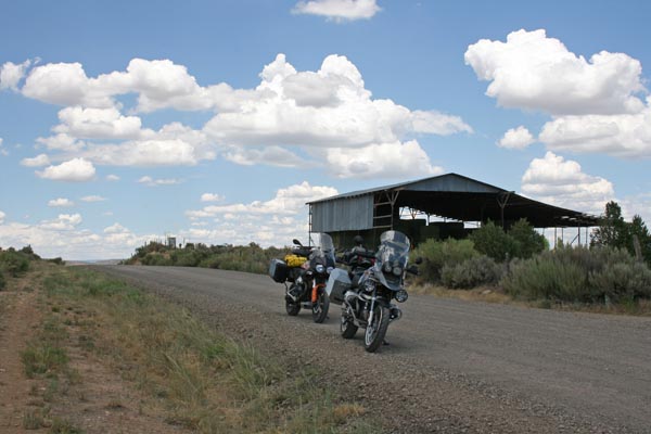
At the summit. |
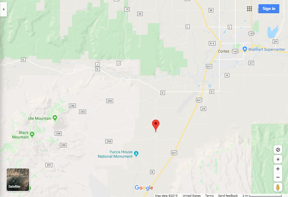
Google Maps |
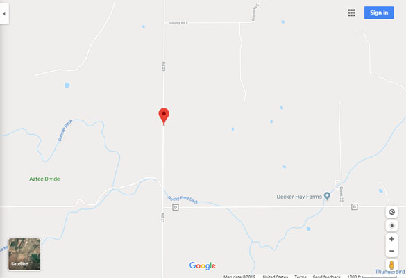
Google Maps |
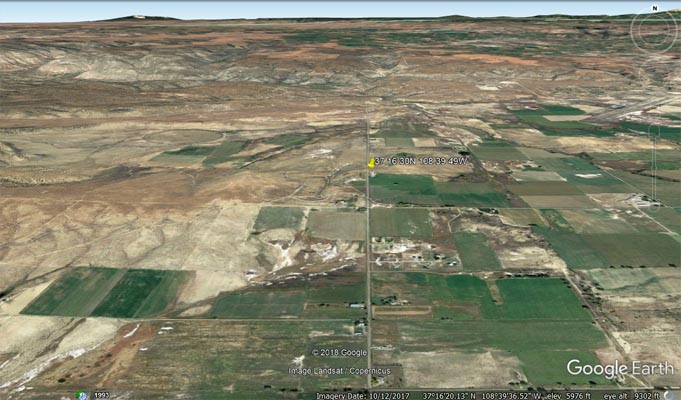
Google Earth |
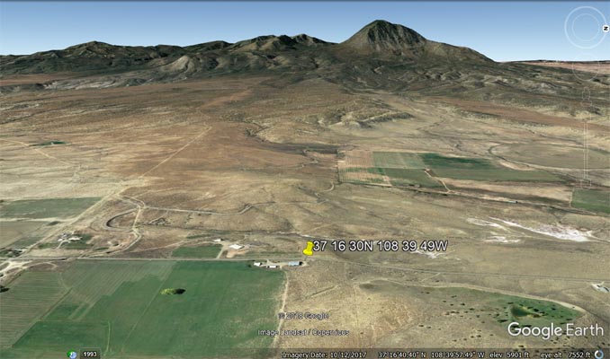
Google Earth, looking west. |
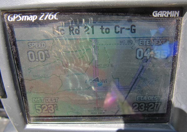
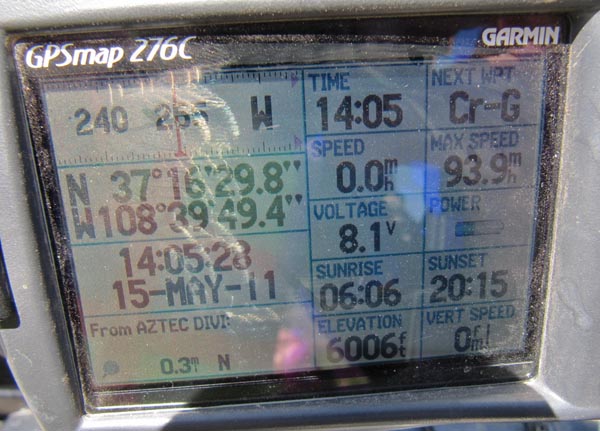
Garmin MapSource |
photos by Karst Postma, 5/15/2011
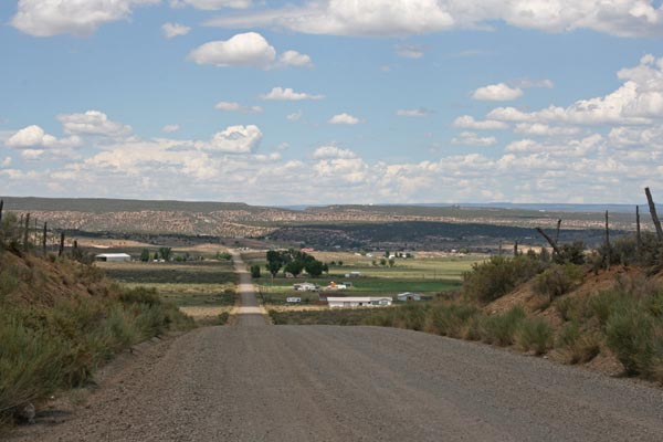
At the summit, looking north. |
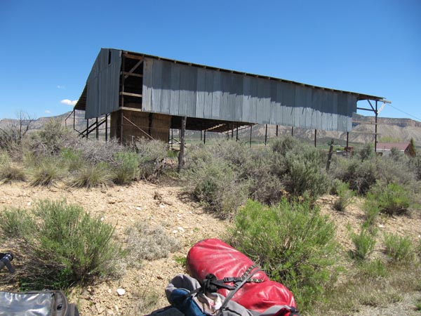
At the summit. |
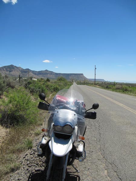
At the summit, looking south. |
At the summit. |
At the summit. |
| Feature Name | ID | Class | County | State | Latitude | Longitude | Ele(ft) | Map | BGN Date | Entry Date |
| Aztec Divide | 179034 | Ridge | Montezuma | CO | 371614N | 1084032W | 5997 | Mud Creek | - | 13-OCT-1978 |