
Bassam Park Pass
|
Bassam Park Pass |
Bassam Park Pass - Chaffee / Park Counties - Colorado - 9,660 feet
Cottonwood Creek to west. Cals Creek to east.
CR-187 southeast of Johnson Village
Gravel - road bike or dual sport
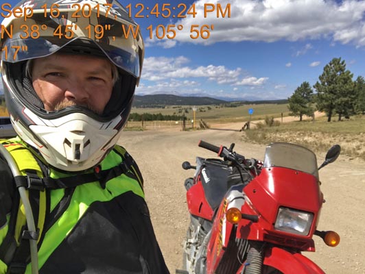
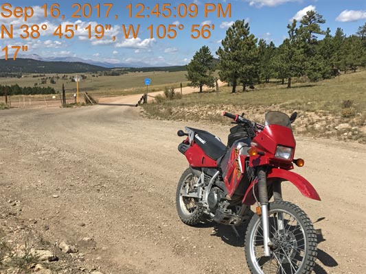
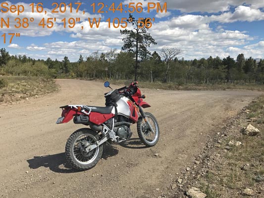
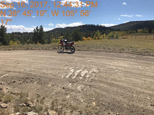
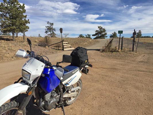
photos by Scott Westfall, 9/16/2017
At the summit, looking west. |
At the summit, looking west. |
At the summit, looking east. |
At the summit, looking south. |
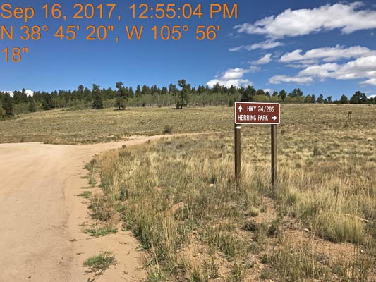
Near the summit. |
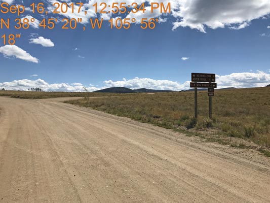
Near the summit. |
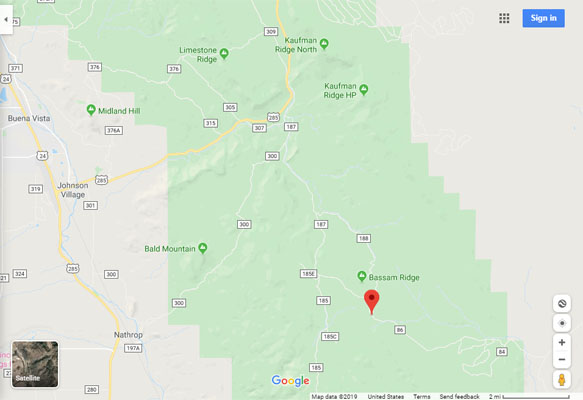
Google Maps |
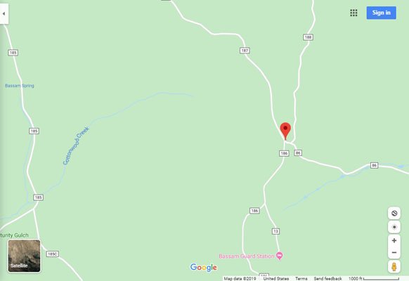
Google Maps |
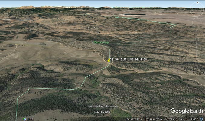
Google Earth |
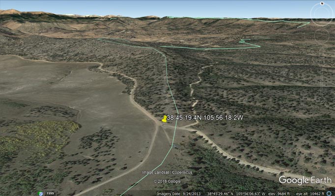
Google Earth |
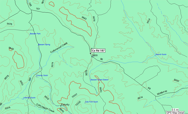
Garmin MapSource |
photos by John Meyer, 10/14/2016
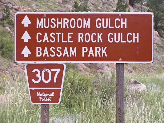
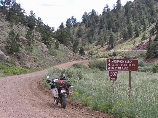
At the summit, looking east. |
At the summit, looking north. |
At the summit, looking west. |
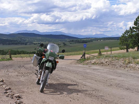
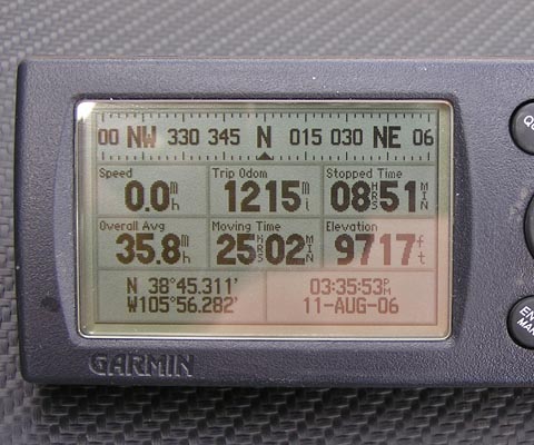
#66 - photos by Randy Bishop, 8/11/2006
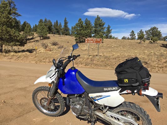
Just off US-285 4.2 miles south of Trout Creek Pass. |
Just off US-285 4.2 miles south of Trout Creek Pass. |
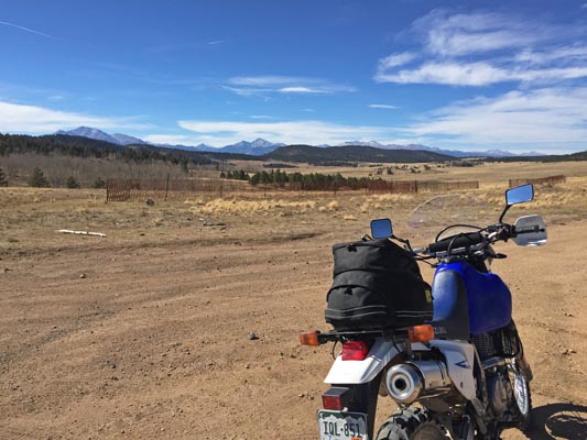
At the summit, looking west. |
At the summit. |
| Feature Name | ID | Class | County | State | Latitude | Longitude | Ele(ft) | Map | BGN Date | Entry Date |
| Bassam Park | 191360 | Flat | Chaffee | CO | 384550N | 1055809W | 9511 | Castle Rock Gulch | - | 13-OCT-1978 |
| Bassam Park | 191360 | Flat | Chaffee | CO | 384550N | 1055809W | 9511 | Castle Rock Gulch | - | 13-OCT-1978 |
| Bassam Ridge | 196833 | Ridge | Chaffee | CO | 384908N | 1055645W | 9459 | Castle Rock Gulch | - | 01-NOV-1991 |
| Bassam Spring | 191362 | Spring | Chaffee | CO | 384535N | 1055754W | 9432 | Castle Rock Gulch | - | 13-OCT-1978 |
| Bassam Creek | 189472 | Stream | Chaffee | CO | 384239N | 1060528W | 7812 | Nathrop | - | 13-OCT-1978 |