
Baxter Pass
|
Baxter Pass |
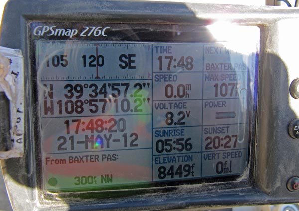
Baxter Pass - Garfield County - Colorado - 8,379 feet
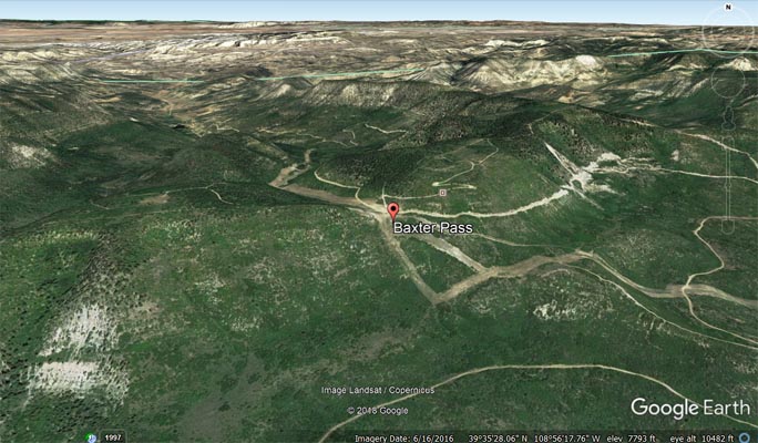
Evacuation Creek to north. West Salt Creek to south.
About 50 miles northwest of Fruita on CR-201.
North side - 4WD. South side - dual sport
photos by Karst Postma, 5/21/2012
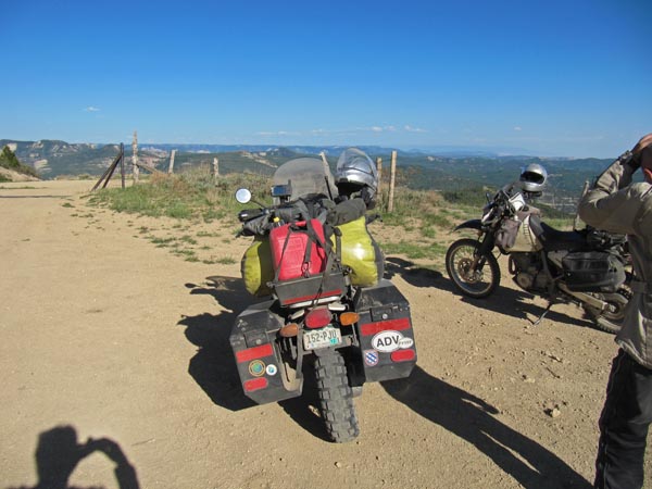
At the summit. |
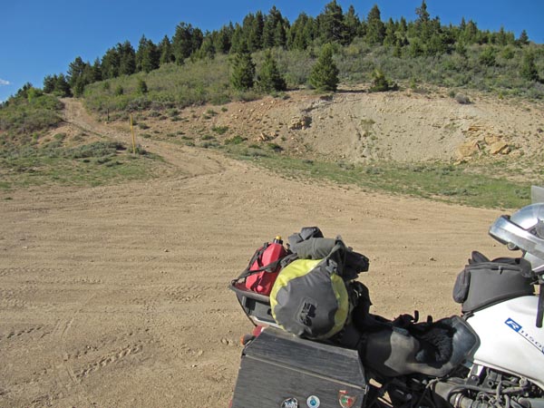
At the summit. |

At the summit. |
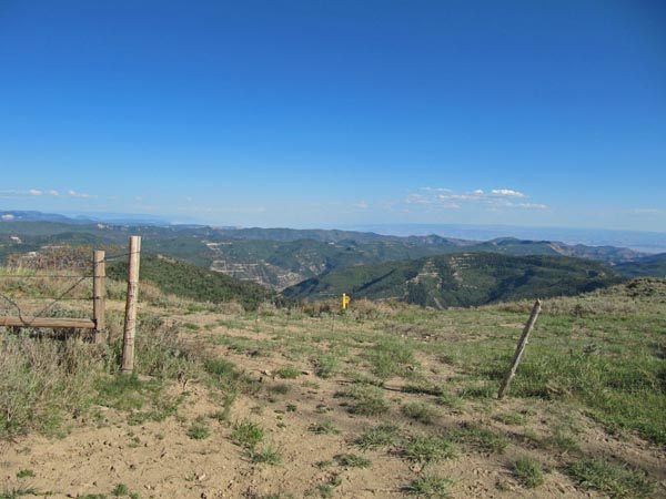
At the summit. |

At the summit. |
At the summit. |
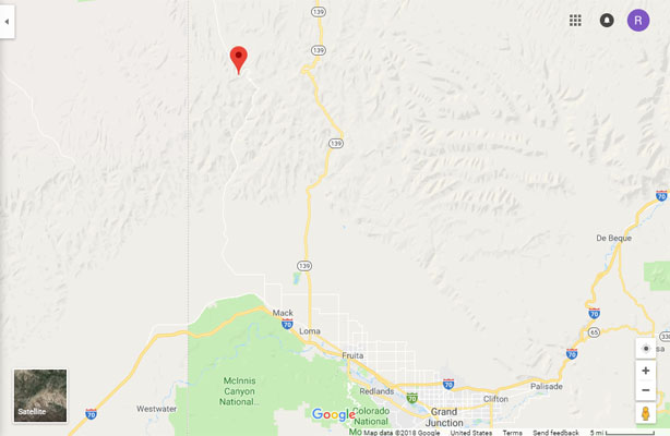
Google Maps |
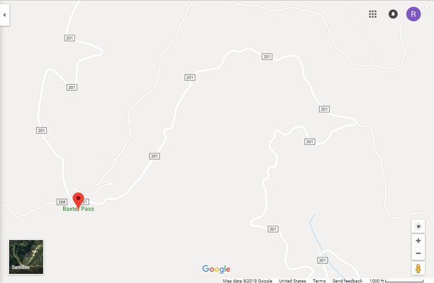
Google Maps |

Google Earth |
Google Earth |
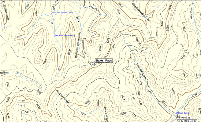
Garmin MapSource |
photo by Roamin Carloski
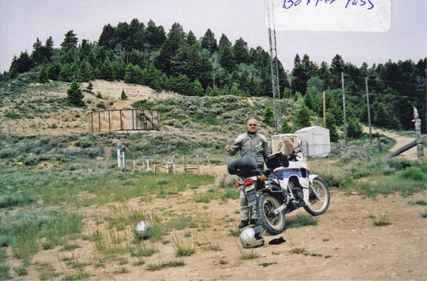
At the summit. |
photo by Cylde Edmundson, 1960
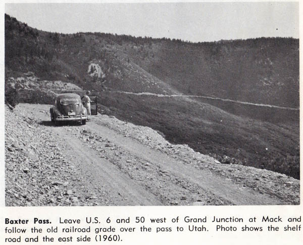
East side of pass |
| Feature Name | ID | Class | County | State | Latitude | Longitude | Ele(ft) | Map | BGN Date | Entry Date |
| Baxter Pass | 172108 | Gap | Garfield | CO | 393455N | 1085709W | 8379 | Baxter Pass | - | 13-OCT-1978 |