
Bell's Gap
|
Bell's Gap |
Bell's Gap - Huerfano County - Colorado - 6,347 feet
Oja Dealaino Arroyo to west. Butte Creek to east.
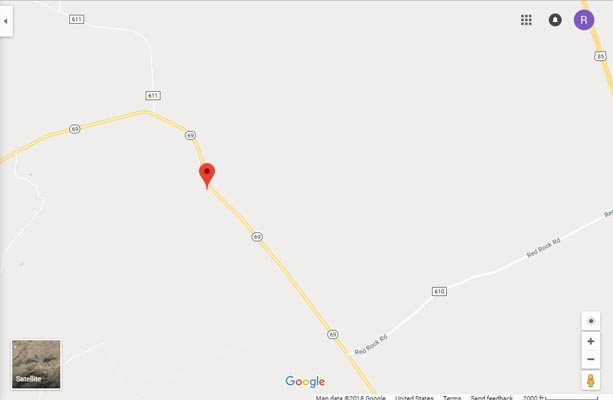
north of intersection of CO-69 and Red Rocks Road north of Walsenburg
pavement - road bike
#79 - photos by Randy Bishop, 04/28/2007

Along CO-69, looking north toward summit. |
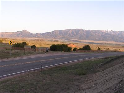
At the summit, looking north. |
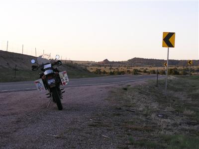
At the summit, looking south. |
At the summit. |
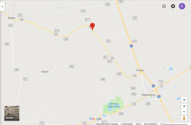
Google Maps |
Google Maps |
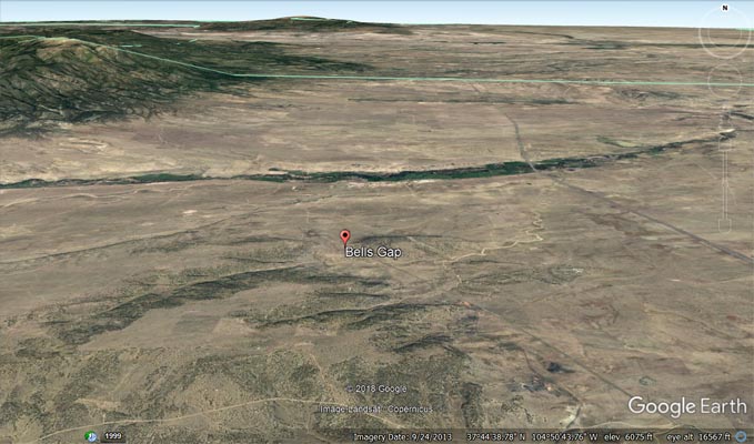
Google Earth |
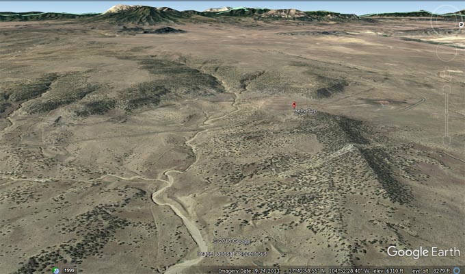
Google Earth, looking west. |
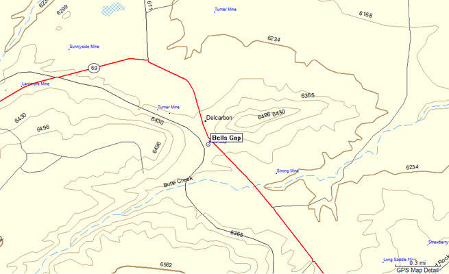
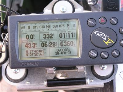
Garmin MapSource |
| Feature Name | ID | Class | County | State | Latitude | Longitude | Ele(ft) | Map | BGN Date | Entry Date |
| Bells Gap | 194227 | Gap | Huerfano | CO | 374237N | 1045236W | 6342 | Black Hills | - | 13-OCT-1978 |