
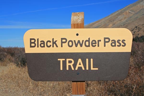
Black Powder Pass
|
Black Powder Pass |
Black Powder Pass - Park / Summit Counties - Colorado - 12,159 - On the Continental Divide
Indiana Creek to west. French Creek to east.
Between Breckenridge and Como. Trailhead is at Boreas Pass by the old log railroad section house.
hiking trail
photos by Randy Bishop, 11/11/2016
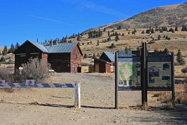
At the trailhead at Boreas Pass. |
At the trailhead at Boreas Pass. |
At the trailhead at Boreas Pass. |

At the trailhead at Boreas Pass. |
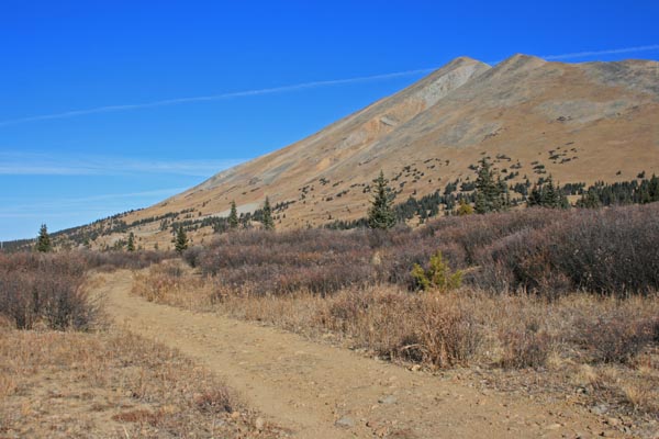
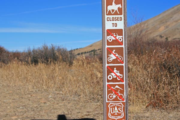
Heading up the trail. |
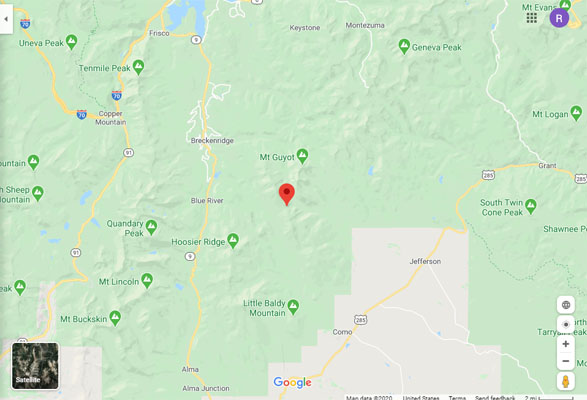
Google Maps |
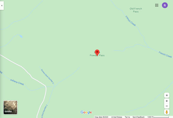
Google Maps |
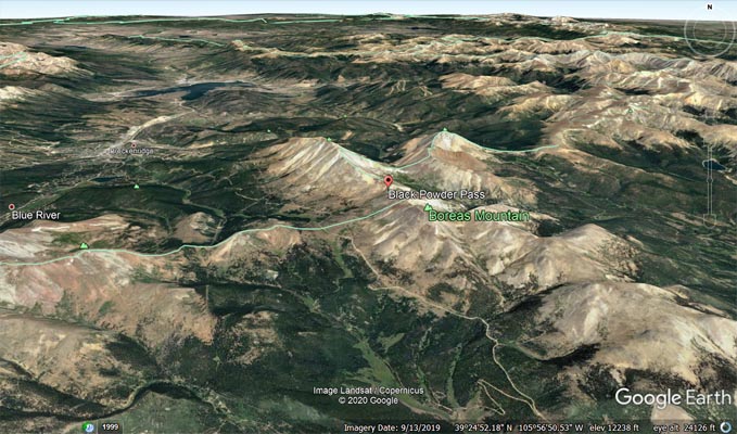
Google Earth, looking north |
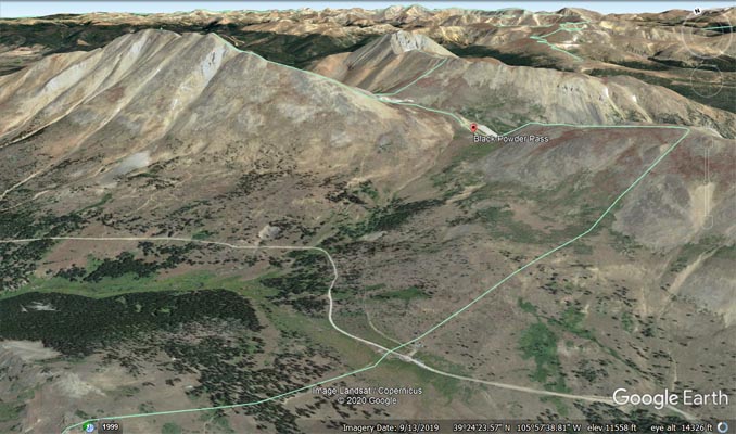
Google Earth, looking north |
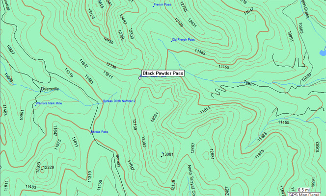
Garmin Mapsource |
| Feature Name | ID | Class | County | State | Latitude | Longitude | Ele(ft) | Map | BGN Date | Entry Date |
| Black Powder Pass | 196499 | Gap | Park | CO | 392525N | 1055719W | 12149 | Boreas Pass | 01-JAN-1976 | 01-JUL-1990 |