
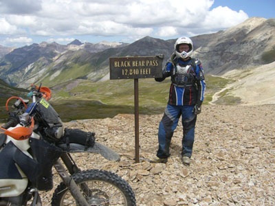
Black Bear Pass
|
Black Bear Pass |
Black Bear Pass - San Juan / San Miguel Counties - Colorado - 12,840 feet
Ingram Creek to west. Mineral Creek to east.
Other name: Ingram
East of Telluride. Traveling west, FR-823 and FR-648 (one-way downhill to the west).
off-road - dirt bike or dual sport
photos from John Meyer, 10/15/2016
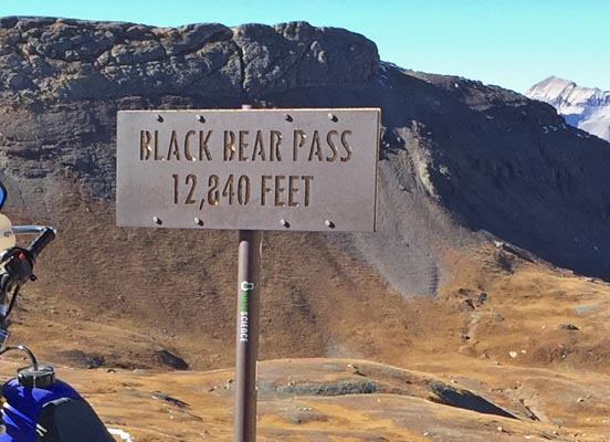
At the summit. |
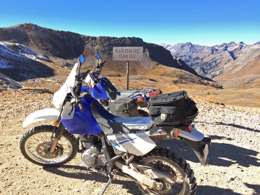
At the summit. |
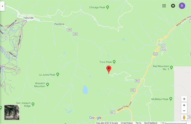
Google Maps |
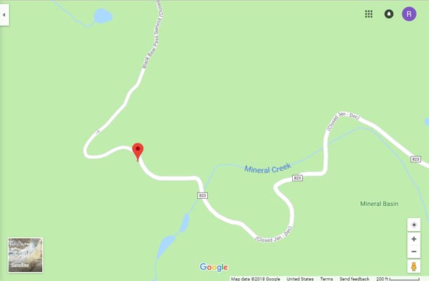
Google Maps |
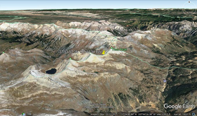
Google Earth |
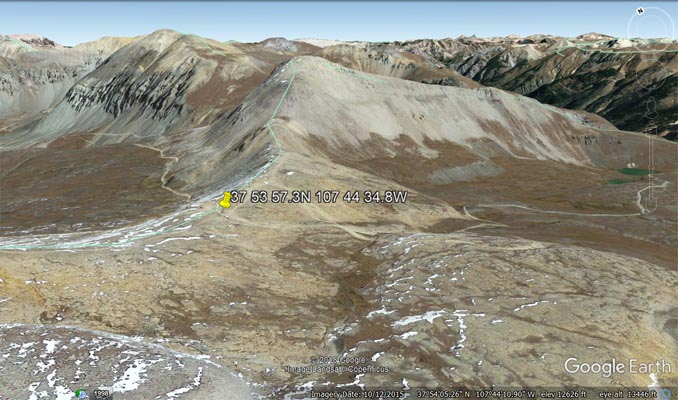
Google Earth |
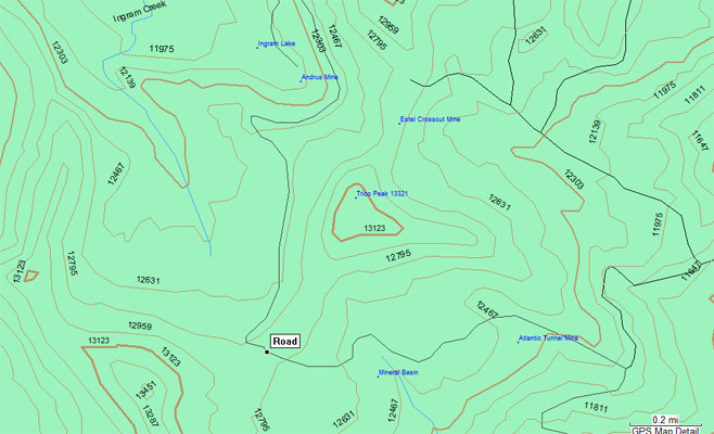
Garmin MapSource |
photo from Deward Knapp, 8/24/2006
Deward Knapp at the summit. |
| Feature Name | ID | Class | County | State | Latitude | Longitude | Ele(ft) | Map | BGN Date | Entry Date |
| Black Bear Mine | 187218 | Mine | San Miguel | CO | 375519N | 1074424W | 12549 | Ironton | - | 13-OCT-1978 |
| Black Bear Mine | 1734694 | Mine | San Miguel | CO | 375520N | 1074432W | 12365 | Ironton | - | 14-MAY-1997 |
| Ingram Basin | 203295 | Basin | San Miguel | CO | 375506N | 1074458W | 11745 | Ironton | - | 13-OCT-1978 |
| Ingram Lake | 187292 | Lake | San Miguel | CO | 375442N | 1074437W | 12008 | Ironton | - | 13-OCT-1978 |