
Blue Mesa Summit
|
Blue Mesa Summit |
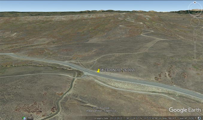
Blue Mesa Summit - Gunnison County - Colorado - 8,704 feet
Little Cimarron River to west. Blue Creek to east.
US-50 west of Gunnison
paved - road bike
#56 - photos by Randy Bishop, 7/16/2006

4 miles west of summit. |
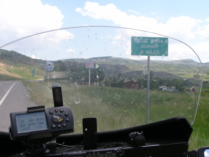
4 miles west of summit. |

At the summit, looking east. |
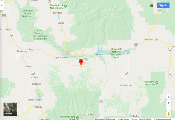
Google Maps |
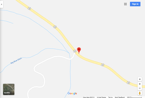
Google Maps |
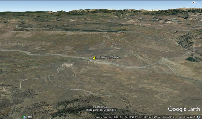
Google Earth |
Google Earth |
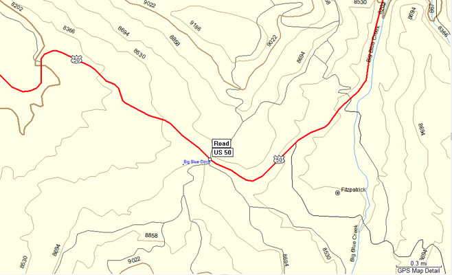
Garmin MapSource |