
Bondad Hill
|
Bondad Hill |
Bondad Hill - La Plata County - Colorado - 6,316 feet
A roadway summit with no discernable watershed divide or gap.
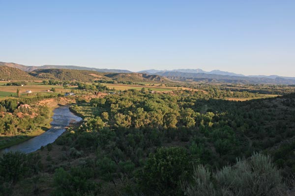
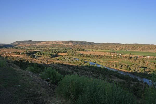
The Animas River flows along the west side of Bondad Hill.
A summit on US-550 south of Durango.
paved - road bike
#171 - photos by Randy Bishop, 7/21/2020
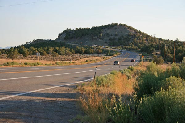
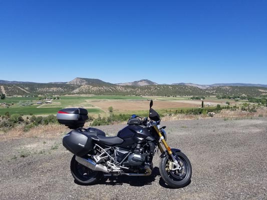
Looking north on US-550 toward Bondad Hill. |
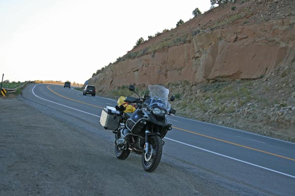
Half way up the hill, looking north. |
Half way up the hill, looking south. |
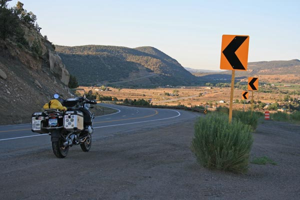
Half way up the hill, looking northwest. |
Half way up the hill, looking southwest. |
Half way up the hill. |
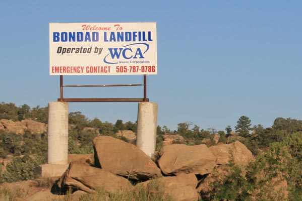
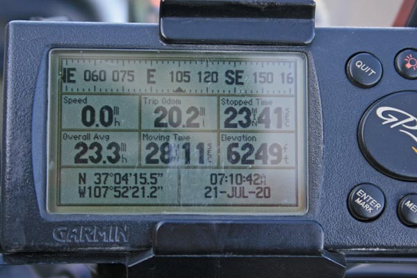
At the Bondad landfill, 2.2 miles to the southeast on Indian Road 310/318. |
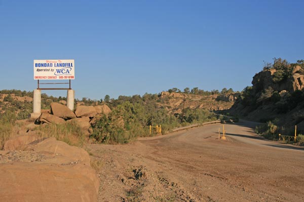
At the Bondad landfill, 2.2 miles to the southeast on Indian Road 310/318. |
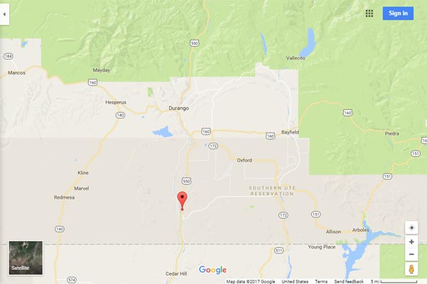
Google Maps |
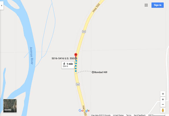
Google Maps |
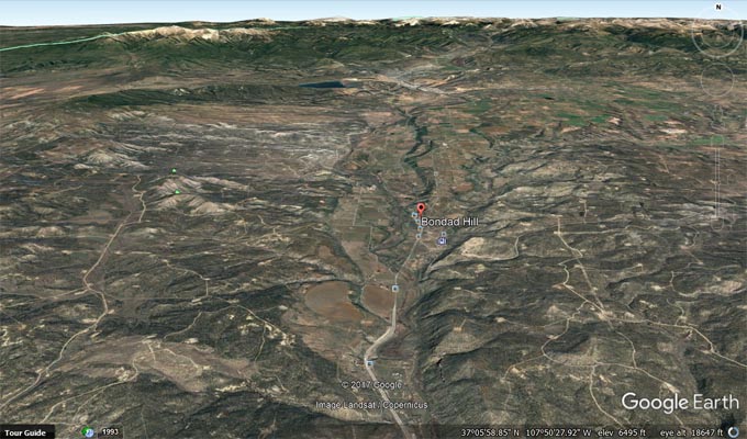
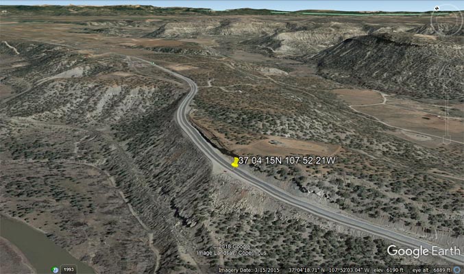
Google Earth |
Google Earth, looking northeast. |
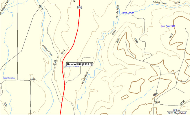
Garmin Mapsource |
photos by Dave Vining, 5/27/2018

Half way up the hill, looking north. |
Half way up the hill, looking west. |

Half way up the hill. |
| Feature Name | ID | Class | County | State | Latitude | Longitude | Ele(ft) | Map | BGN Date | Entry Date |
| Bondad Hill | 184471 | Summit | La Plata | CO | 370413N | 1075217W | 6316 | Bondad Hill | - | 13-OCT-1978 |