
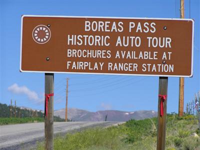
Boreas Pass
|
Boreas Pass |
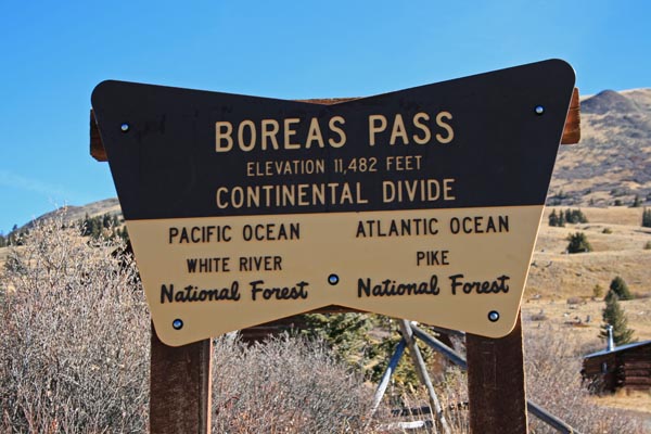
Boreas Pass - Park / Summit Counties - Colorado - 11,481 feet - On the Continental Divide
Indiana Creek to west. Tarryall Creek to east.
(other names - Breckenridge, Hamilton, Tarryall, Ute)
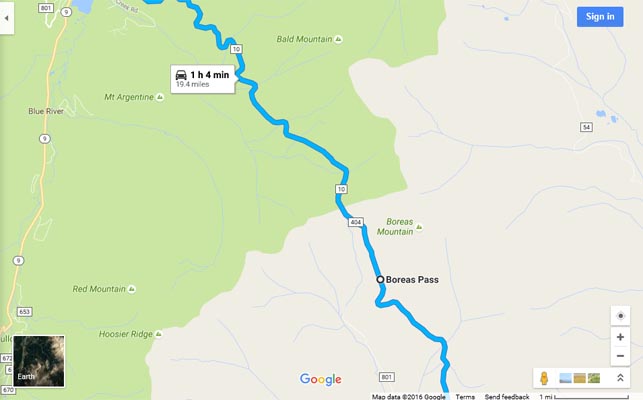
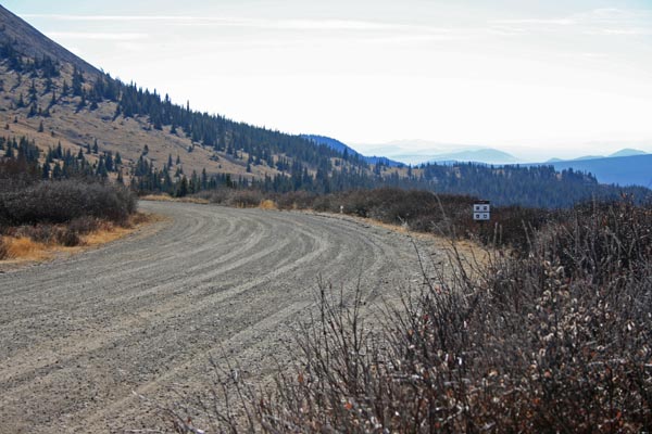
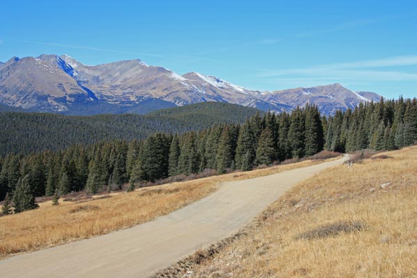
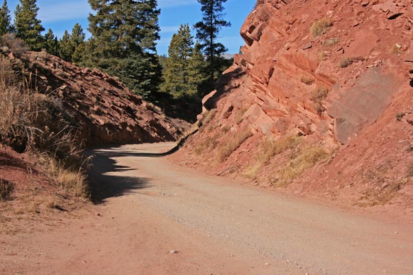
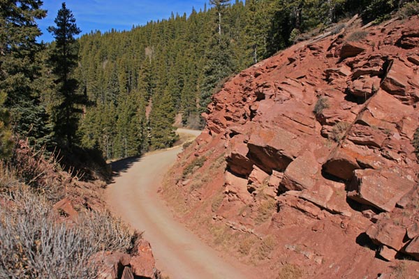
FR-10 and FR-33 between Como and Breckenridge
gravel - road bike, but dual sport is better
photos by Randy Bishop, 10/5/2020
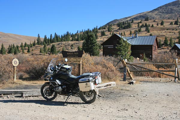
At the summit. 2009 BWM R1200GSA |
At the summit. |
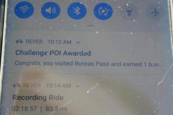
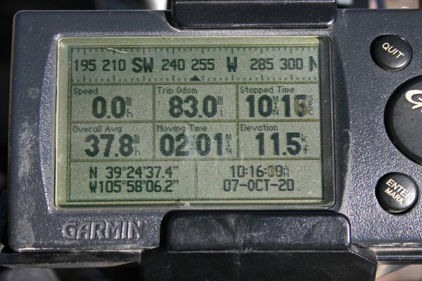
At the summit, rever.co display. |
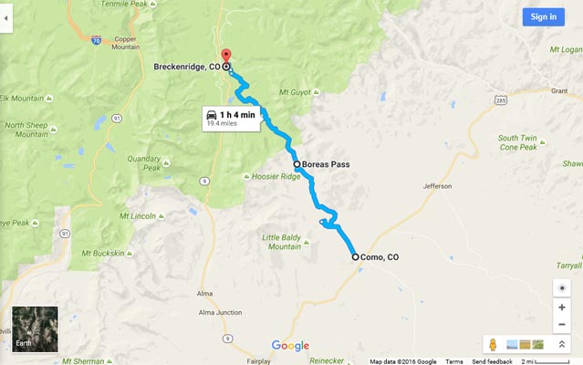
Google Maps |
Google Maps |
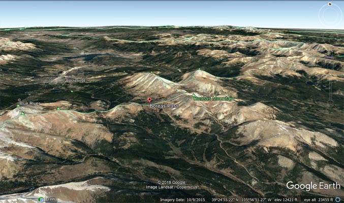
Google Earth |
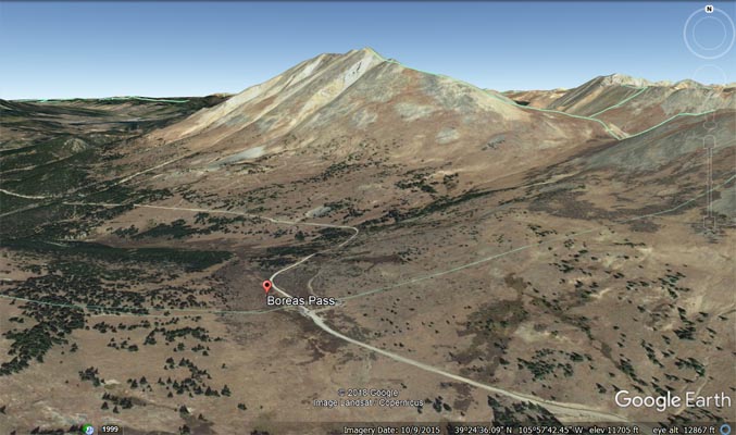
Google Earth |
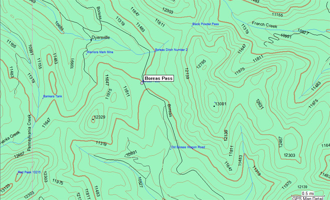
Garmin MapSource |
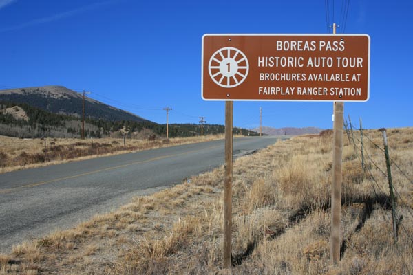
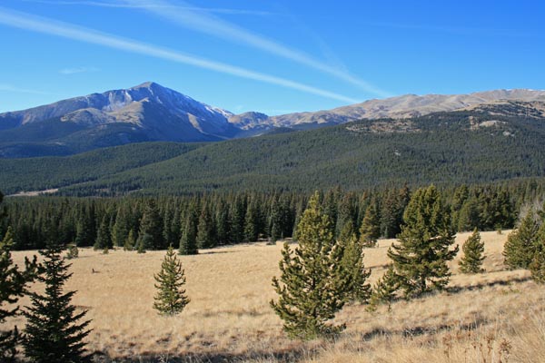
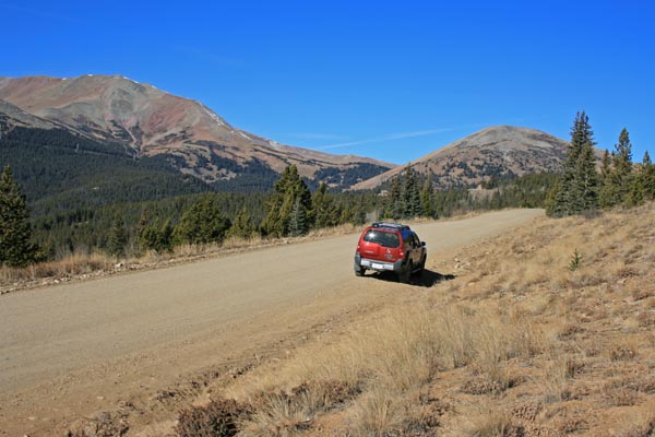
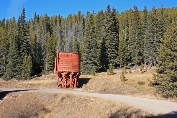
photos by Randy Bishop, 11/11/2016 (photos in order from Como to Breckenridge)
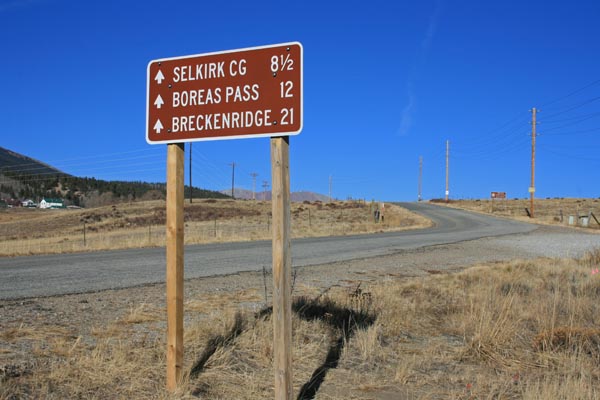
Looking north toward Como. |
Looking north toward Como. |

North of Como. |
South of the summit. |
South of the summit. |

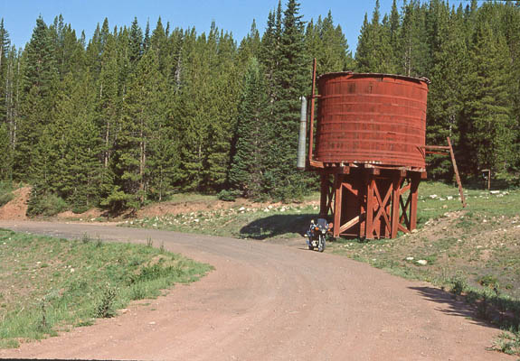
At the summit. 2014 Nissan Xterra |
At the summit. |
At the summit, looking south. |
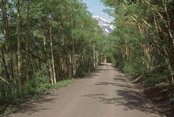
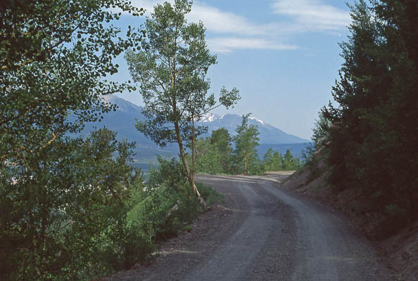
North of the summit. |

North of the summit. |
North of the summit. |

North of the summit. |
North of the summit. |
North of the summit. |

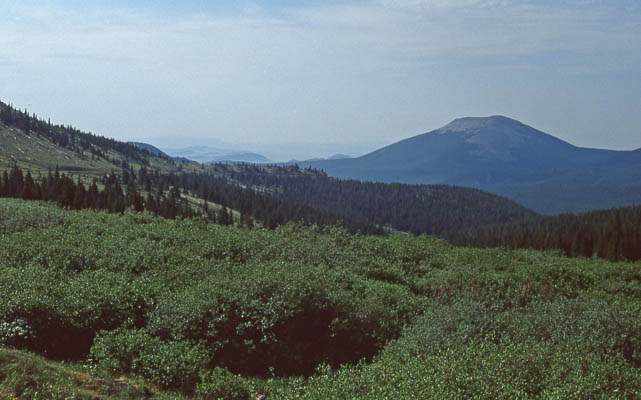
North of the summit, looking back. |

More colorful in the fall. |
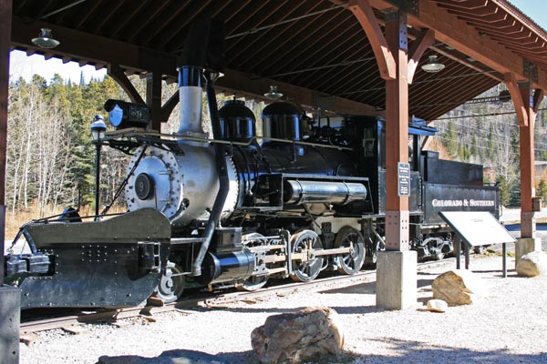
At Breckenridge. |

At Breckenridge. |
#25 - photos by Randy Bishop, 8/6/2005
Just off US-285 near Como. |
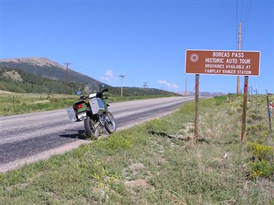
Just off US-285 near Como. |

At the summit. |
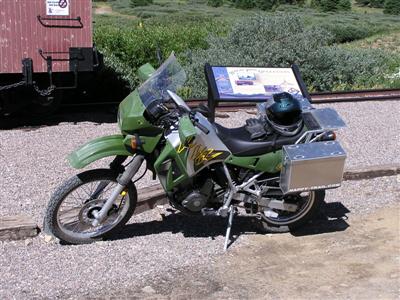
At the summit. 2002 Kawasaki KLR650 |
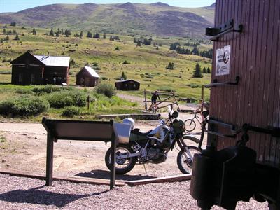
At the summit, looking east. |
photos by Randy Bishop, 7/21/1990
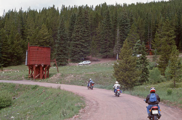
P105 guys on Boreas Pass road. |
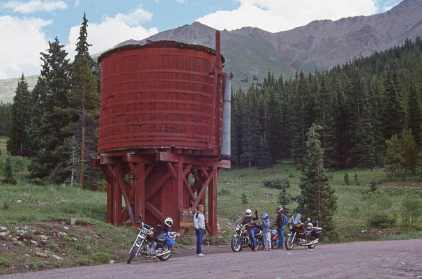
P105 guys on Boreas Pass road. |
P105 guys on Boreas Pass road. |
photos by Randy Bishop, 6/30/1990
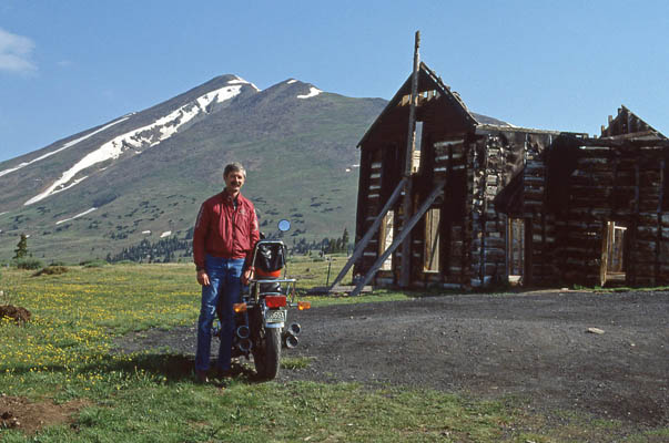
Randy at the summit. 1981 Honda CB750K |
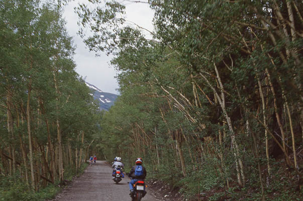
West side, Boreas Pass road. |
West side, Boreas Pass road. |
West side, Boreas Pass road. |
West side, Boreas Pass road. |
| Feature Name | ID | Class | County | State | Latitude | Longitude | Ele(ft) | Map | BGN Date | Entry Date |
| Boreas Pass | 183153 | Gap | Summit | CO | 392440N | 1055810W | 11499 | Boreas Pass | - | 13-OCT-1978 |