
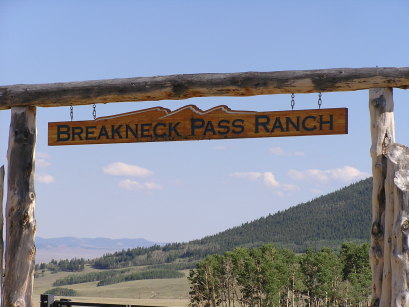
Breakneck Pass
|
Breakneck Pass |
Breakneck Pass - Park County - Colorado - 10,910 feet
Sheep Creek to west. High Creek to east.
(other name - Warmsprings)
FR-175 southwest of Fairplay
Rock, loose surfaces - Dual sport, but dirt bike would be better.
Approach from southeast via Weston Pass road is easier than from
north via Browns Pass.
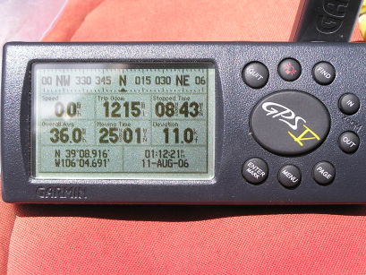
#64 - photos by Randy Bishop, 8/11/2006
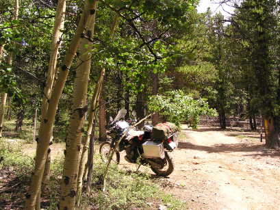
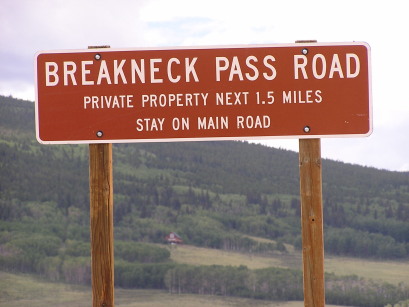
About 2 miles east of the summit, looking east. |
About 2 miles east of the summit, looking east. |
At the summit. |
At the summit, looking east. |
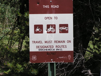
At the summit. |
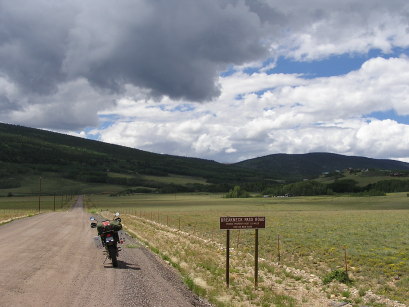
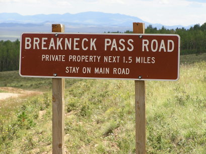
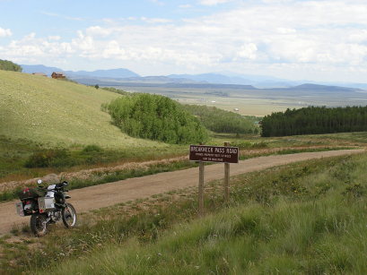
About 2 miles off US-285 on the Weston Pass road, looking west. |
About 2 miles off US-285 on the Weston Pass road, looking west. |
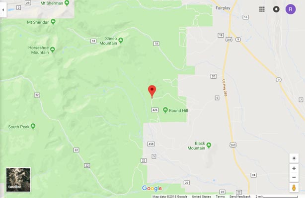
Google Maps |
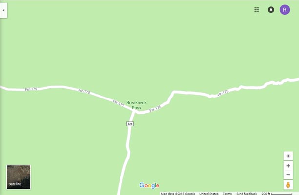
Google Maps |
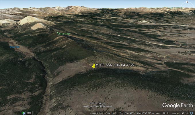
Google Earth |
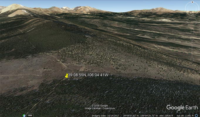
Google Earth |
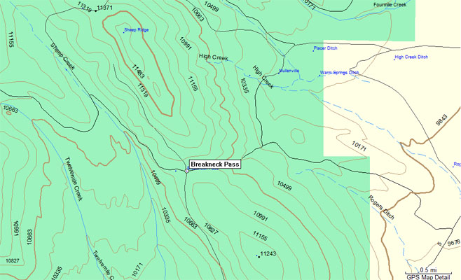
Garmin MapSource |
photos by Randy Bishop, 8/7/2005
About 2 miles east of the summit, looking east. |
About 2 miles east of the summit, looking east. |
At the summit, looking west. |
| Feature Name | ID | Class | County | State | Latitude | Longitude | Ele(ft) | Map | BGN Date | Entry Date |
| Breakneck Pass | 180244 | Gap | Park | CO | 390855N | 1060441W | 10919 | Fairplay West | - | 13-OCT-1978 |