
Buckhorn Pass
|
Buckhorn Pass |
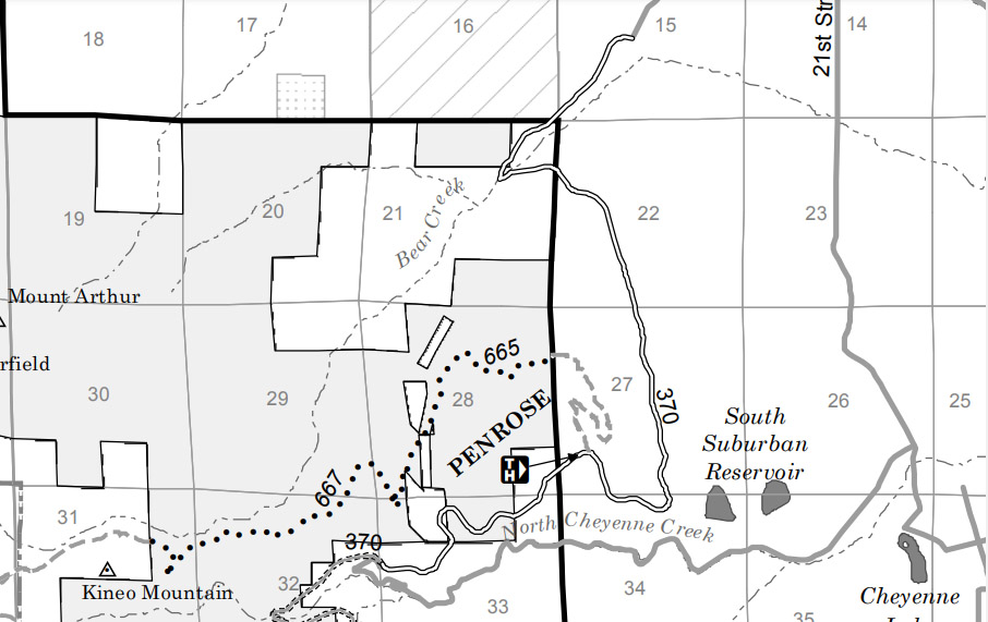
Buckhorn Pass - El Paso County - Colorado - 7,867 feet
Bear Creek to north. North Cheyenne Canyon to south.
In west Colorado Springs, from 26th St and US-24, follow 26th to Gold Camp Road, to High Drive.
From northeast and west, open to pedestrians, bicycle and equestrians only.
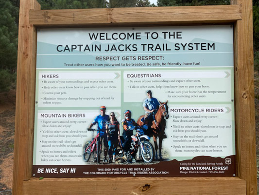
From south, on Trail-665, Captain Jacks Trail, open to hikers, equestrians, mountain bikers and motorcycle riders.
photos by John Meyer, 9/13/2021
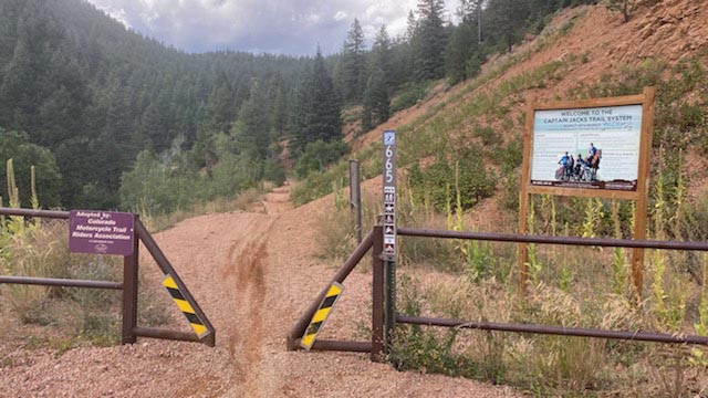
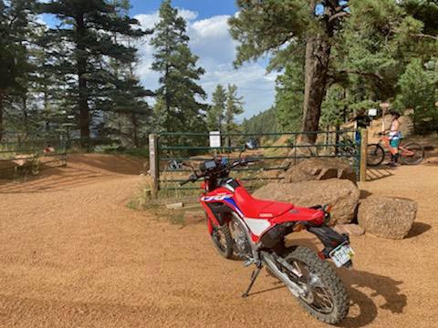
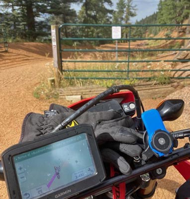
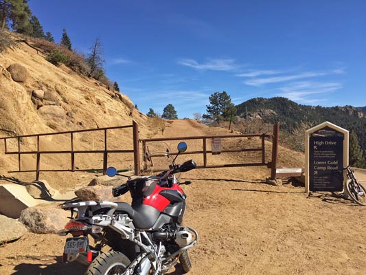
At the gate to Captain Jacks Trail. |
At the gate to Captain Jacks Trail. |
At the summit. |
At the summit. |
At the summit. |
At the summit. |
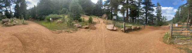
At the summit. |
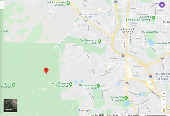
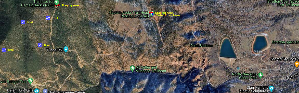
Google Maps |
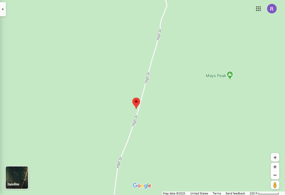
Google Maps |
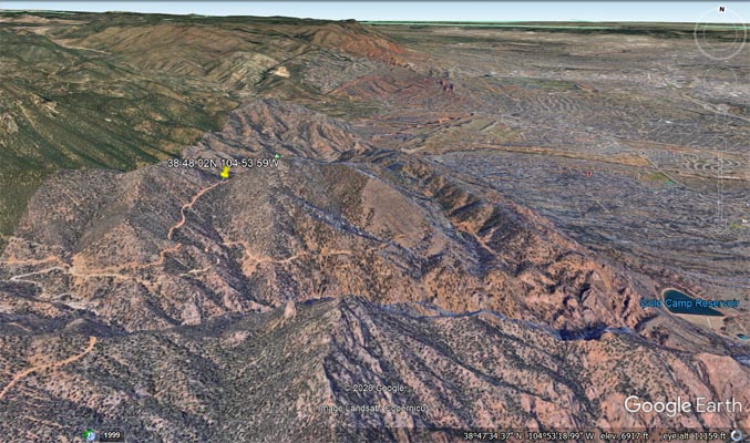
Google Earth |
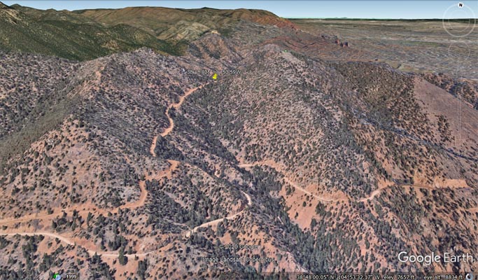
Google Earth |
Garmin Mapsource |
USDA Map Stay The Trail Colorado |
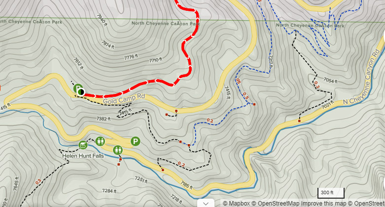
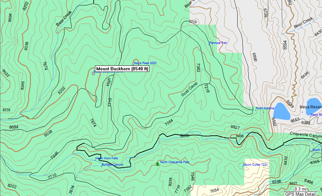
Map |
Map |
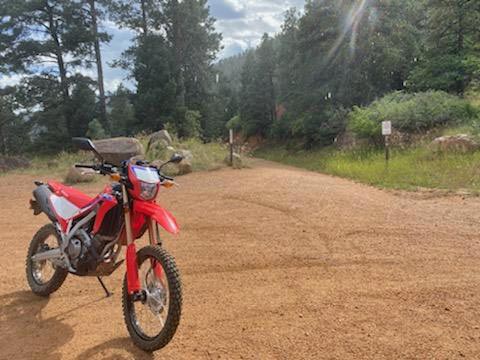
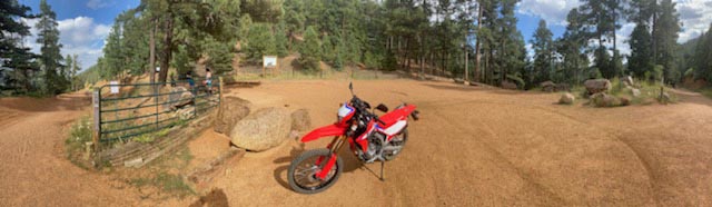
Notes from John Meyer: Capt Jack is a fun little trail, at least up to the summit of Buckhorn Pass. After that I hear
it gets more difficult. It is mostly flowing single track with a few short climbs, banked curves and a lot of whoops.
And if you don't pay attention keeping your feet close to the engine cases they can easily get snagged on a rock or
root. I only saw lightweight dirt bikes up there (which is the best choice for the whoops), however the little Honda
CRF300L did fine. A 650 or bigger would take good skills and concentration.
From Scott Westfall: I thought of you when I hiked up the "chute", an area of narrow rock corridor and deep pebbles
on an incline. Also a couple narrow spots where a GS, especially with engine guards wouldn't stand a chance.
photos by John Meyer, 10/26/2016
At the south gate to High Drive. |

At the south gate to High Drive. |
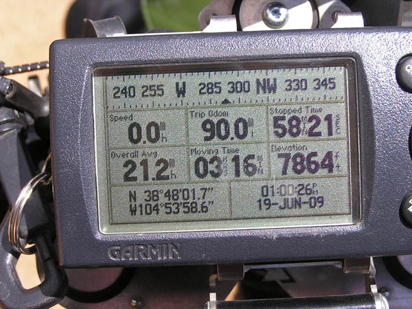
#132 - photos by Randy Bishop, 6/19/2009
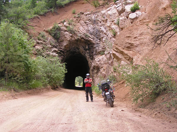
One of two tunnels along Gold Camp Road. |

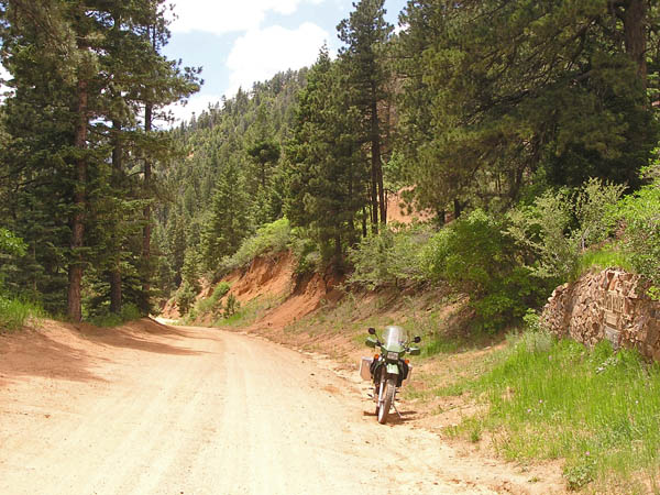
At the summit. |
At the summit. |
At the summit looking north. |
At the summit looking south. |
At the summit. |
photos by Randy Bishop, 4/10/2009
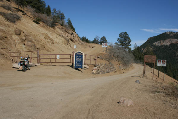
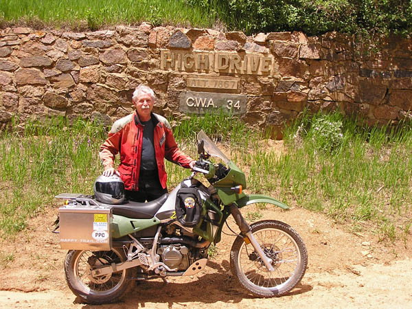
The gate at High Drive. |

The gate at High Drive. Open May - October. |

The map. |