
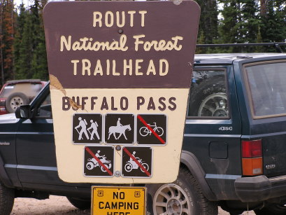
Buffalo Pass
|
Buffalo Pass |
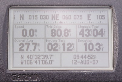
Buffalo Pass - Jackson / Routt Counties - Colorado - 10,320 feet - On the Continental Divide
North Fork of Fish Creek to west. Chedsey Creek to east.
FR-60 east of Steamboat Springs
gravel, exposed rock, dirt, erosion - dual sport
#111 - photos by Randy Bishop, 8/12/2007
At the summit. |

At the summit. |
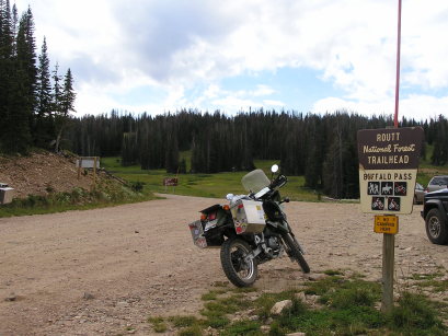
At the summit, looking east. |
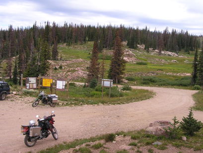
At the summit, looking west. |
At the summit. |
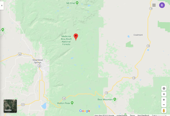
Google Maps |
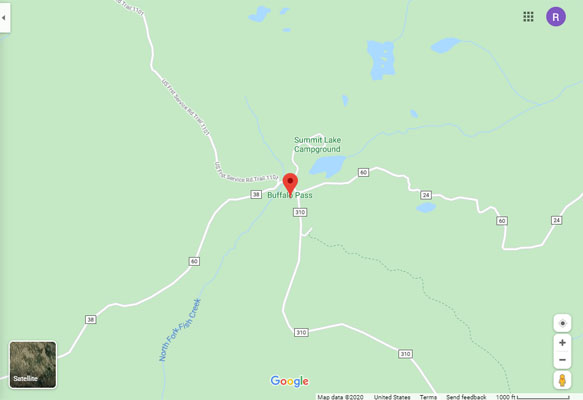
Google Maps |
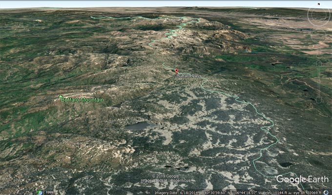
Google Earth |
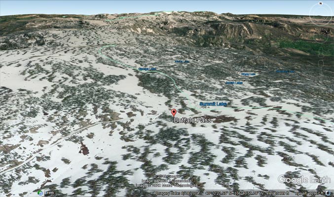
Google Earth |
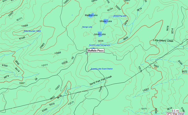
Garmin Mapsource |
| Feature Name | ID | Class | County | State | Latitude | Longitude | Ele(ft) | Map | BGN Date | Entry Date |
| Buffalo Pass | 172553 | Gap | Routt | CO | 403237N | 1064106W | 10295 | Buffalo Pass | - | 13-OCT-1978 |