
Bunker Hill
|
Bunker Hill |
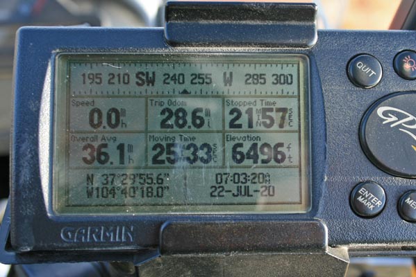
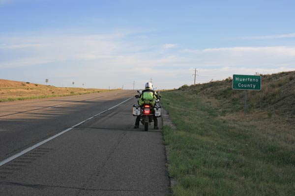
Bunker Hill - Huerfano County - Colorado - 6,473 feet
A roadway and railroad summit with no discernable watershed divide or gap.
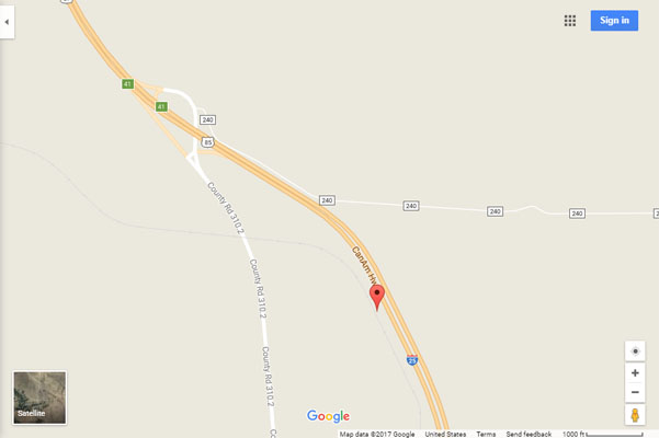
I-25 between Walsenburg and Aguilar, near the Huerfano / Las Animas County line.
paved - road bike
#174 - photos by Randy Bishop, 7/22/2020
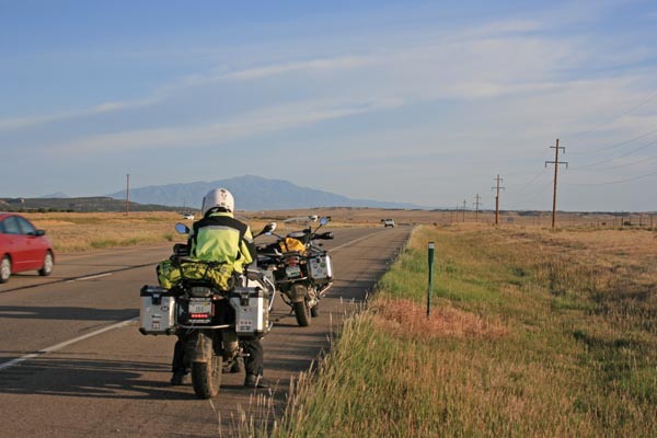
At the summit, looking north. |
At the summit, looking west. |
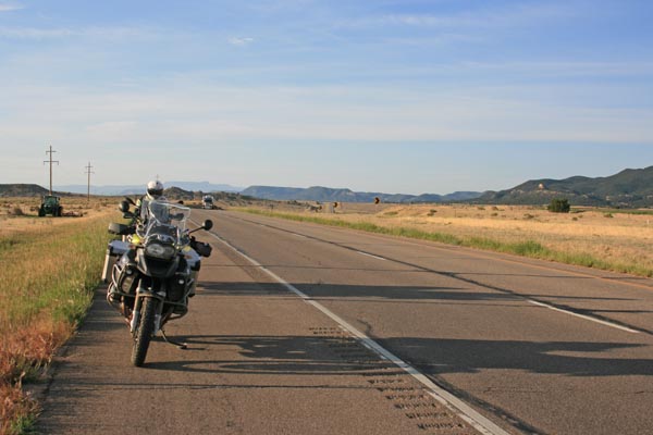
At the summit, looking south. |
At the summit. |
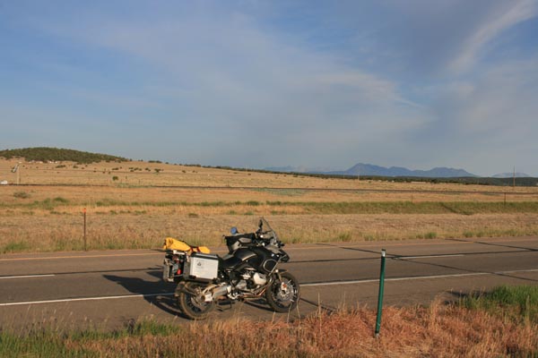
0.3 miles south, looking north. |
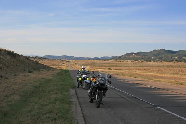
0.3 miles south, looking south. |
0.3 miles south of the summit. |
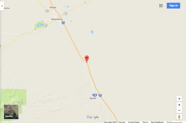
Google Maps |
Google Maps |
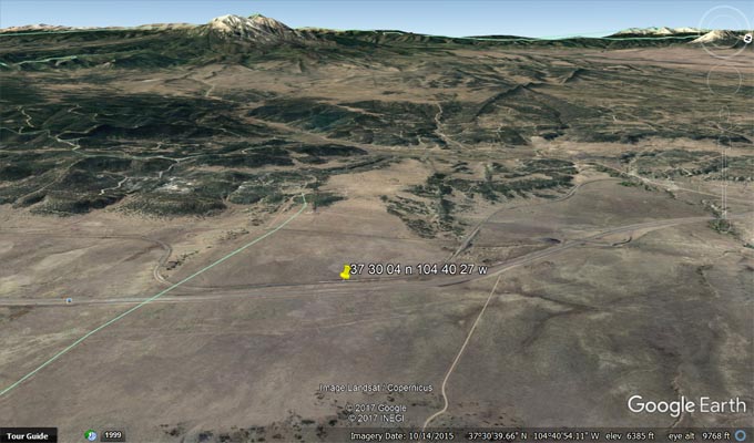
Google Earth, looking west. |
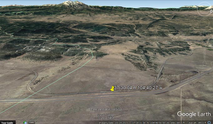
Google Earth, looking west. |
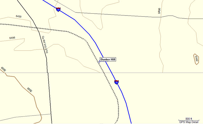
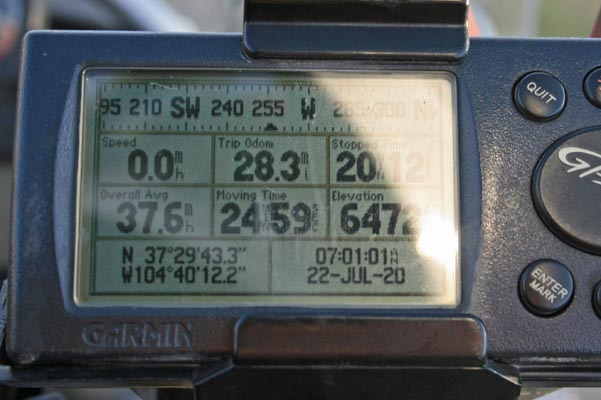
Garmin MapSource |

Garmin MapSource |
| Feature Name | ID | Class | County | State | Latitude | Longitude | Ele(ft) | Map | BGN Date | Entry Date |
| Bunker Hill | 194379 | Summit | Huerfano | CO | 373004N | 1044028W | 6473 | Pryor | - | 13-OCT-1978 |
| Feature Name | ID | Class | County | State | Latitude | Longitude | Ele(ft) | Map | BGN Date | Entry Date |
| Bunker Hill | 194438 | Summit | Huerfano | CO | 372922N | 1044127W | 6890 | Aguilar | - | 13-OCT-1978 |
| Bunker Hill Number One Mine | 1735167 | Mine | Huerfano | CO | 373935N | 1044142W | 6640 | Aguilar | - | 14-MAY-1997 |