
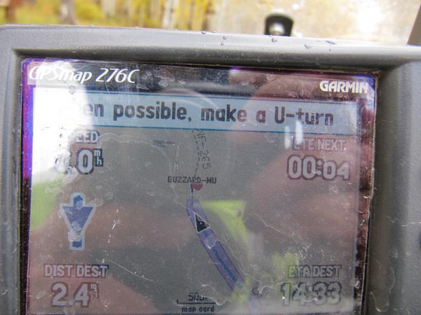
Buzzard-Muddy Divide
|
Buzzard-Muddy Divide |
Buzzard-Muddy Divide - Mesa / Delta Counties - Colorado - 9,031 feet
Bird Creek to north. Muddy Creek to east.
North of Paonia on CR-265.
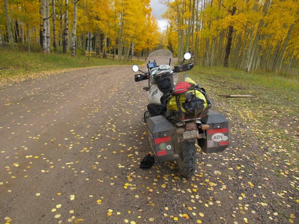
Dirt - dual sport
photos by Karst Postma and Paul “Shu” Shushan, 9/26/2012
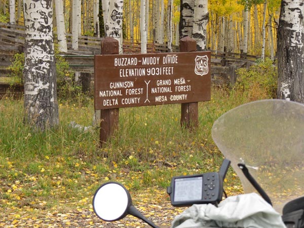
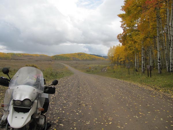
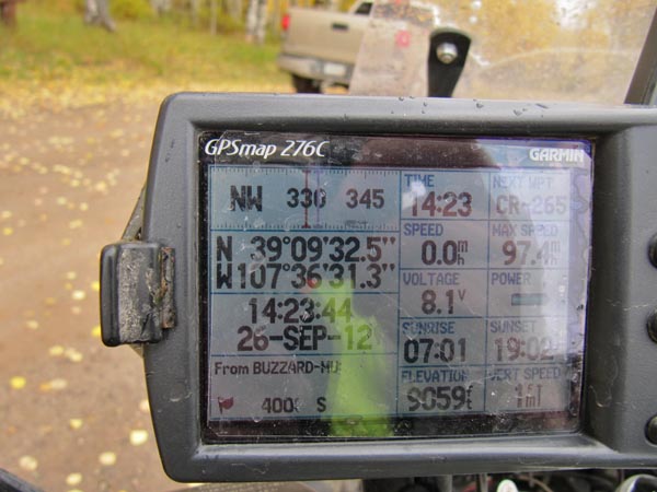
At the summit. |
At the summit. |
At the summit. |
At the summit. |
At the summit. |
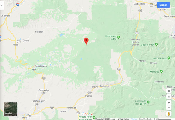
Google Maps |
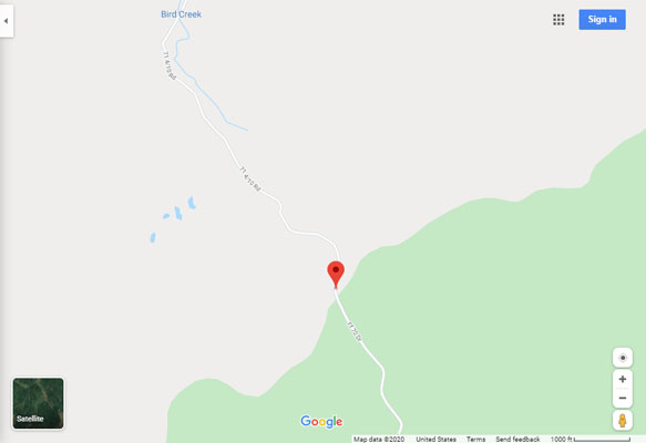
Google Maps |
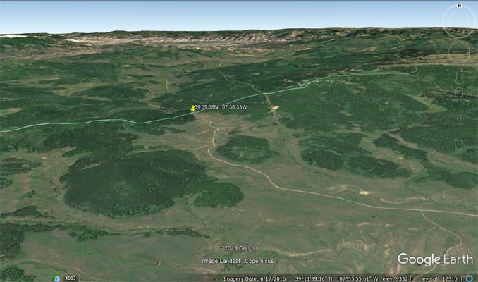
Google Earth |
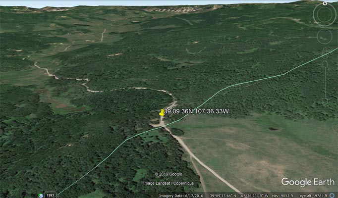
Google Earth |
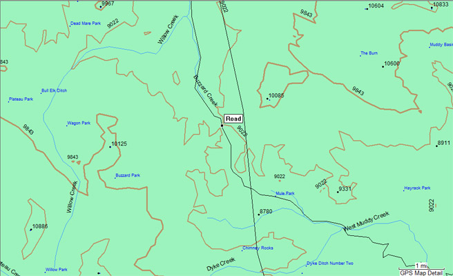
Garmin Mapsource |
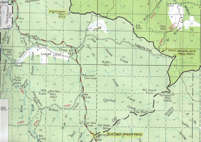
White River National Forest map |
photo by Roamin Carloski
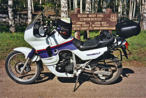
At the summit. |