
Buzzard Pass
|
Buzzard Pass |
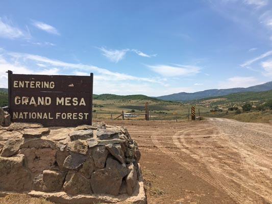
Buzzard Pass - Mesa County - Colorado - 8,026 feet
(other name - West Hightower Mountain Pass)
Buzzard Creek to west. Alkali Creek to east.
South of Silt. CR-342 to north, FR-270 to south.
dirt - dual sport
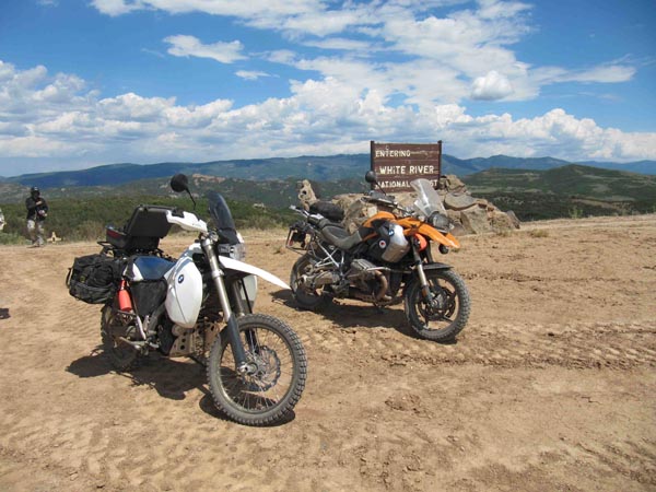
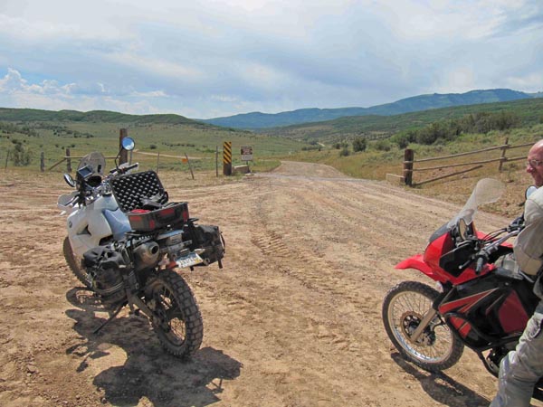
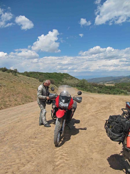
photos by John Meyer, 7/19/2018
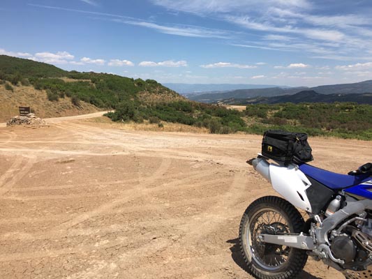
At the summit. |
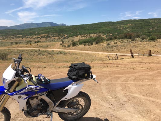
At the summit. |

At the summit. |
At the summit. |
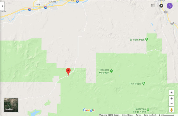
Google Maps |
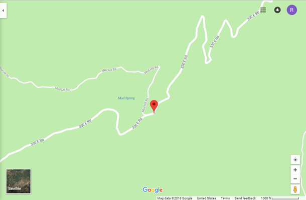
Google Maps |
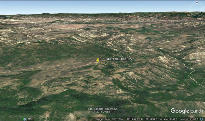
Google Earth |
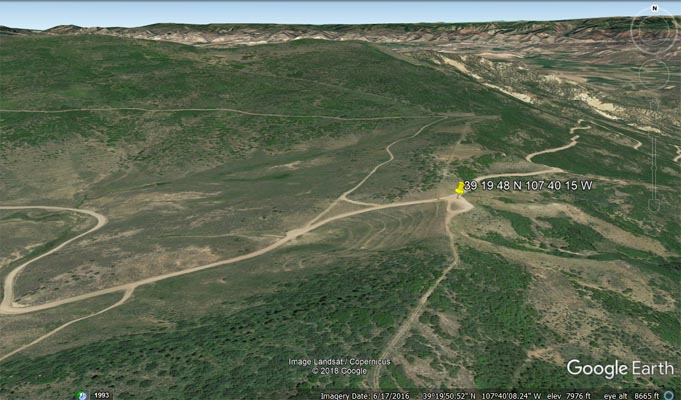
Google Earth |
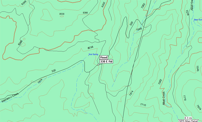
Garmin Mapsource |
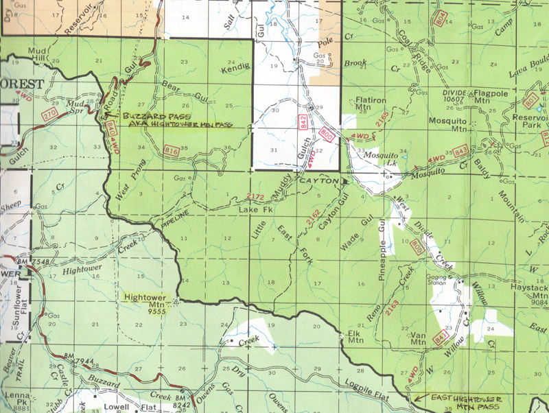
White River Nat'l Forest map |
photos by Karst Postma, 7/25/2013
At the summit. |
At the summit. |
At the summit. |
Notes from Karst: Definitely a no go when the road is wet. It is treacherous in a 4 wheel drive.
When dry it is hard packed and wide with a few patches of
some minor gravel, easily doable with any type bike by anybody.