
Badwater Basin
|
Badwater Basin |
Badwater Basin - Inyo County - California - 282 feet below sea level (Lowest elevation in the U.S.)
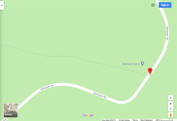
In Death Valley National Park, on Badwater Road (CA-178) about 18 miles south of Furnace Creek.
pavement - road bike

Rick H. |
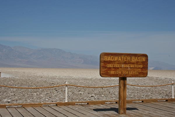
At Badwater. |
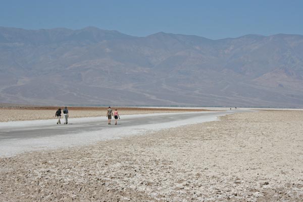
At Badwater, looking west. |
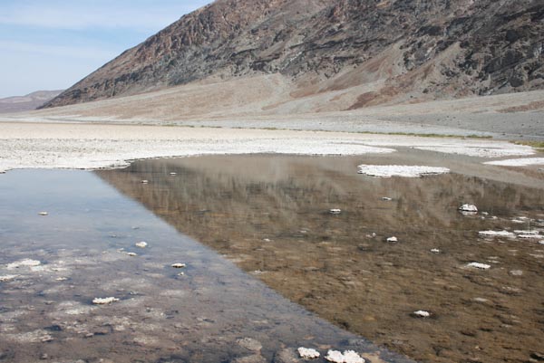
At Badwater, looking northeast. |
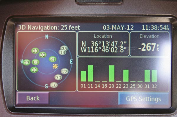
At Badwater. |

Google Maps |
Google Maps |
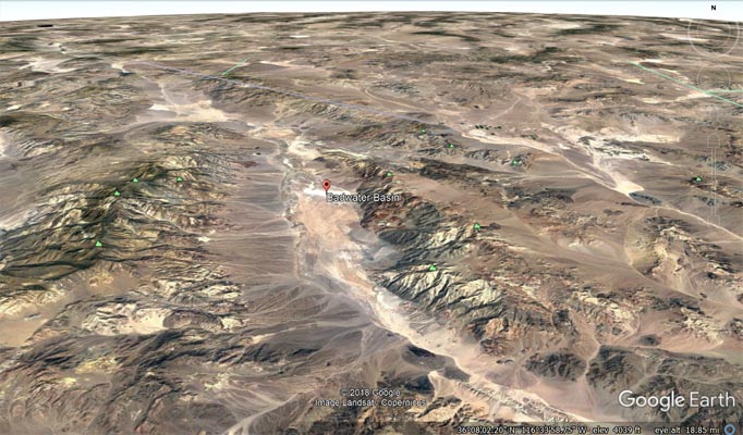
Google Earth |
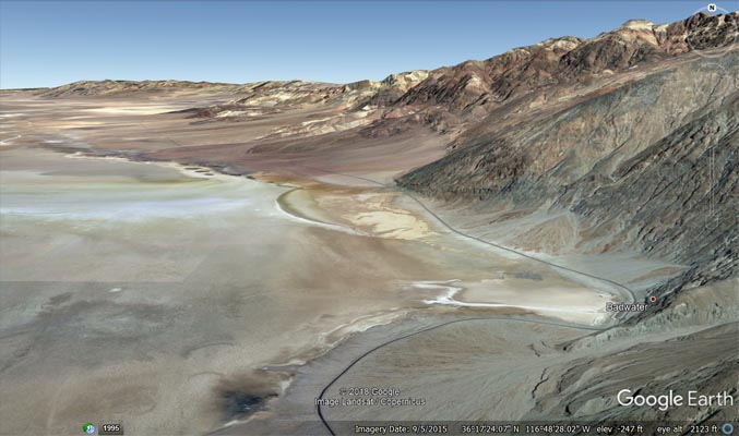
Google Earth |
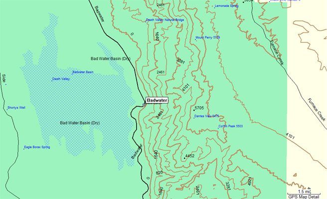
Garmin MapSource |
| Feature Name | ID | Class | County | State | Latitude | Longitude | Ele(ft) | Map | BGN Date | Entry Date |
| Badwater | 1656428 | Populated Place | Inyo | CA | 361347N | 1164601W | -266 | Badwater | - | 19-JAN-1981 |
| Badwater Basin | 255963 | Basin | Inyo | CA | 361501N | 1164933W | -279 | Devils Golf Course | - | 01-OCT-1992 |