
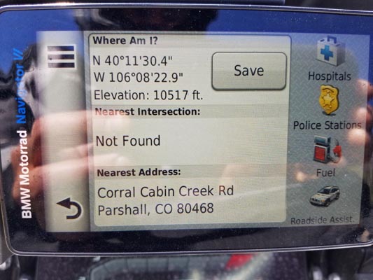
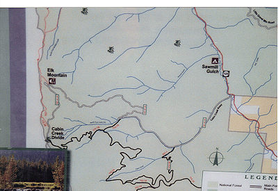
Cabin Creek Divide
|
Cabin Creek Divide |
Cabin Creek Divide - Grand County - Colorado - 10,500 feet
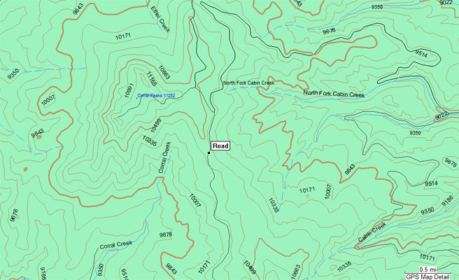
Corral Creek to west. North Fork of Cabin Creek to east.
FR-112 northeast of Hot Sulphur Springs
gravel, rock - dual sport. East side isn't too bad, but west side is easier.
photos by Dave Vining, 9/1/2019
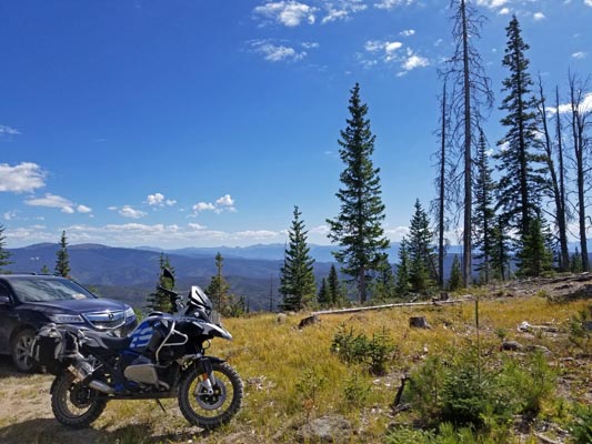
At the summit. |
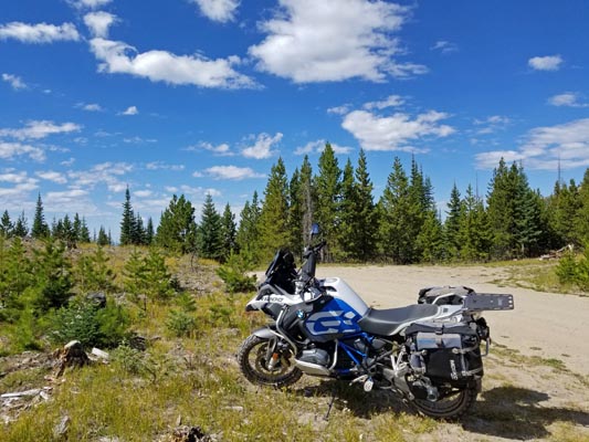
At the summit. |
At the summit. |

Google Maps |
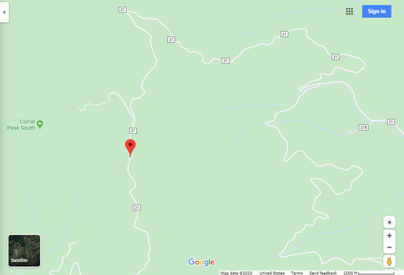
Google Maps |
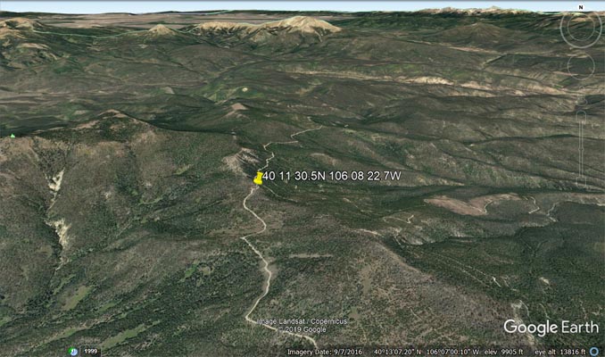
Google Earth |
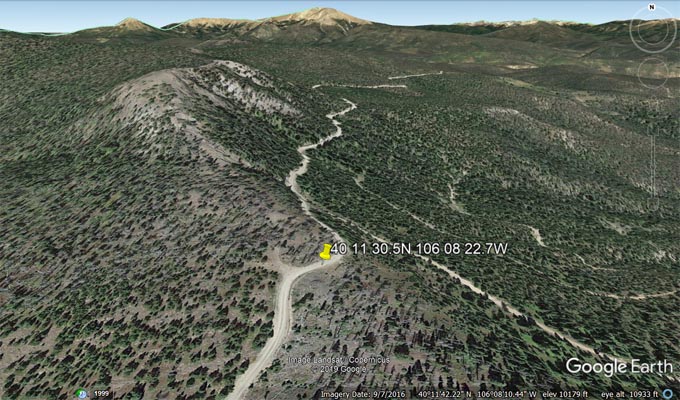
Google Earth |
Garmin Mapsource |
#99 - photos by Randy Bishop, 7/28/2007
Near Granby on the Stillwater Area map. |
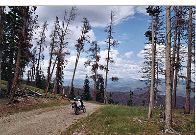
At the summit, looking east. |
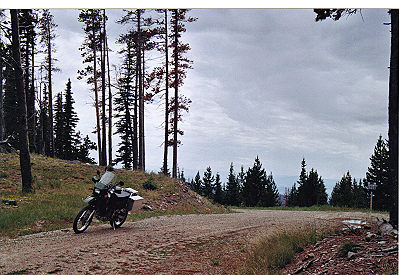
At the summit, looking west. |
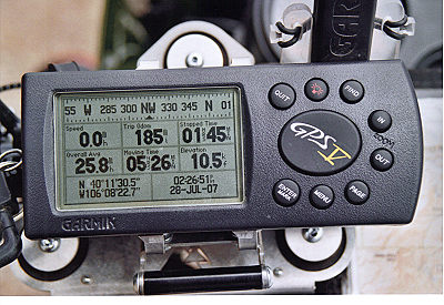
At the summit. |
| Feature Name | ID | Class | County | State | Latitude | Longitude | Ele(ft) | Map | BGN Date | Entry Date |
| North Fork Cabin Creek | 177022 | Stream | Grand | CO | 401130N | 1060432W | 8829 | Cabin Creek | - | 13-OCT-1978 |
| Cabin Creek | 173276 | Stream | Grand | CO | 401252N | 1060301W | 8428 | Cabin Creek | - | 13-OCT-1978 |
| Little Cabin Creek | 180940 | Stream | Grand | CO | 394759N | 1054644W | 8520 | Fraser | - | 13-OCT-1978 |
| Cabin Creek | 178424 | Stream | Grand | CO | 395817N | 1054702W | 8494 | Fraser | - | 13-OCT-1978 |