
Calamity Pass
|
Calamity Pass |
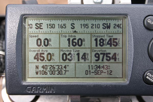
Calamity Pass - Jackson County - Colorado - 9,754 feet
South Fork of the Michigan River to north. Jack Creek to east.
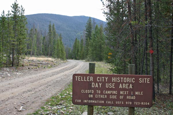
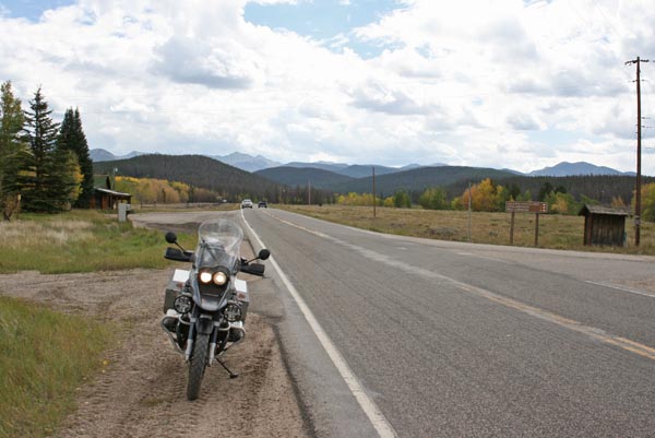
Between Rand and Gould on CR-21 and FR-740.
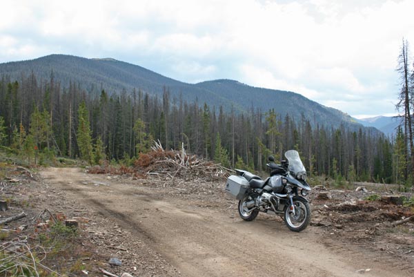
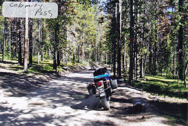
Dirt, rock - dual sport or dirt bike
Last mile of approach from Rand is steeper and rockier than approach from Gould.
#143 - photos by Randy Bishop, 9/1/2012
About 1 mile SE of summit. |
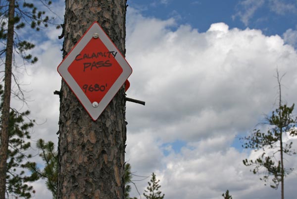
At the summit. |
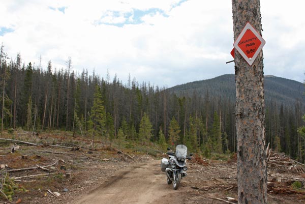
At the summit looking south. |
At the summit looking south. |

At the summit looking north. |
At the summit. |

At Gould. |

At Gould. |
At Gould, looking east. |
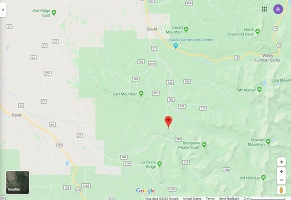
Google Maps |
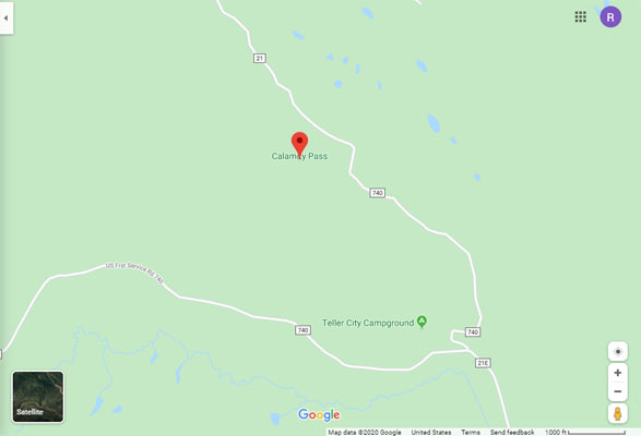
Google Maps |
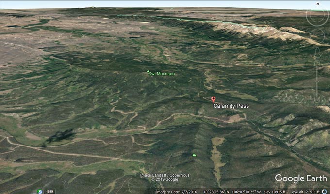
Google Earth |
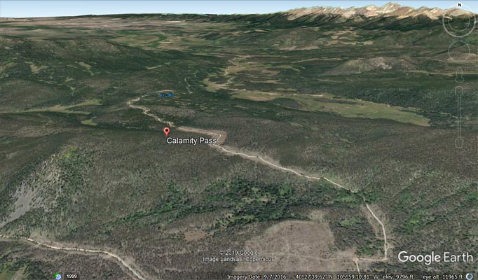
Google Earth |
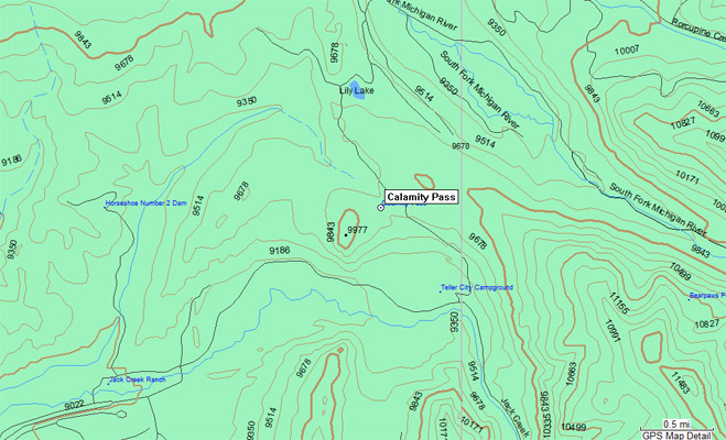
Garmin Mapsource |
photo by Roamin Carloski
At the summit. |
| Feature Name | ID | Class | County | State | Latitude | Longitude | Ele(ft) | Map | BGN Date | Entry Date |
| Calamity Pass | 179920 | Gap | Jackson | CO | 402630N | 1060040W | 9698 | Jack Creek Ranch | - | 13-OCT-1978 |