
Cameron Pass
|
Cameron Pass |
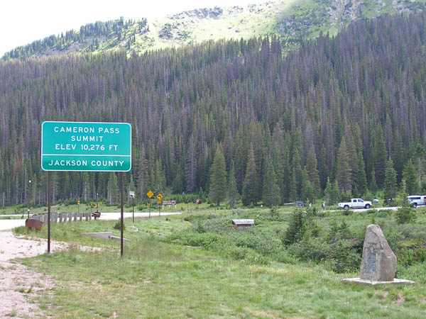
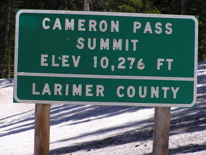
Cameron Pass - Jackson / Larimer Counties - Colorado - 10,276 feet
Michigan River to west. Joe Wright Creek to east.
CO-14 west of Ft Collins
paved - road bike
photos by Randy Bishop, 08/03/2019
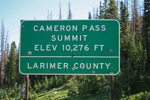
At the summit. |
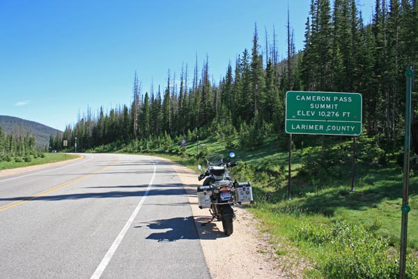
At the summit, looking north. |
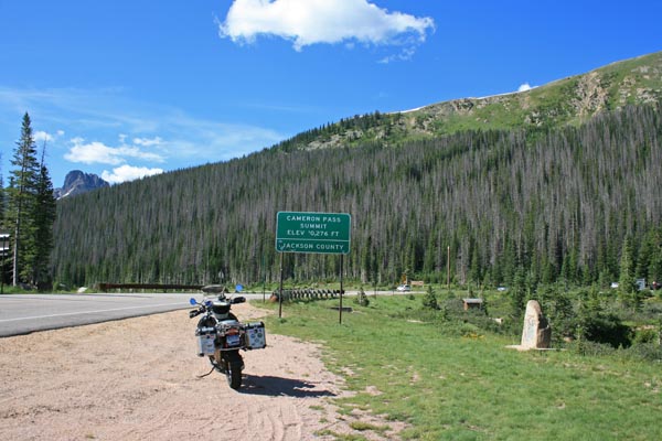
At the summit, looking south. |
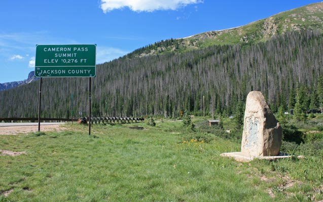
At the summit, looking south. |
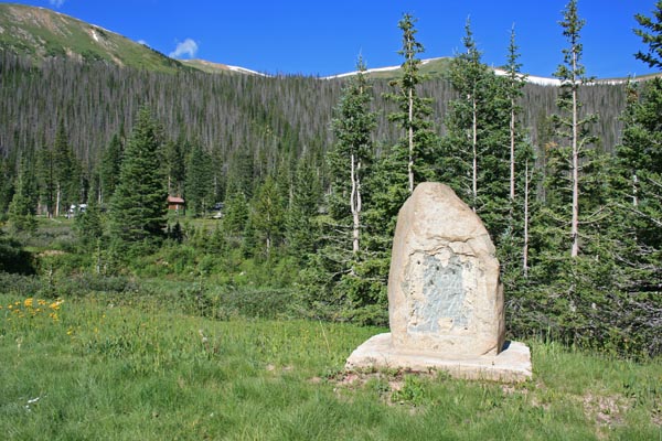
Missing 1929-vintage bronze plaque. |
At the summit. |
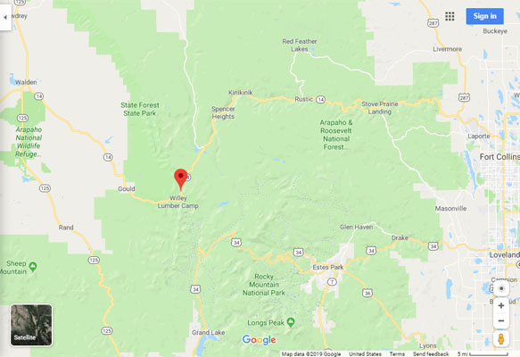
Google Maps |
Google Maps |
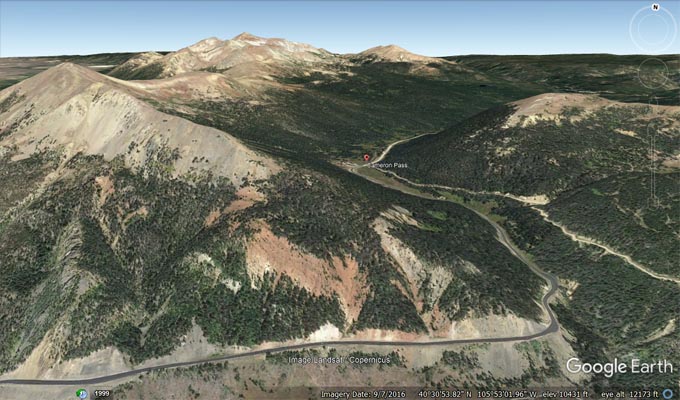
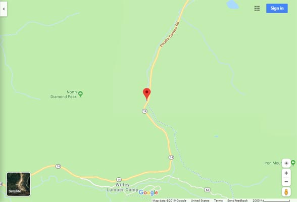
Google Earth |

Google Earth |
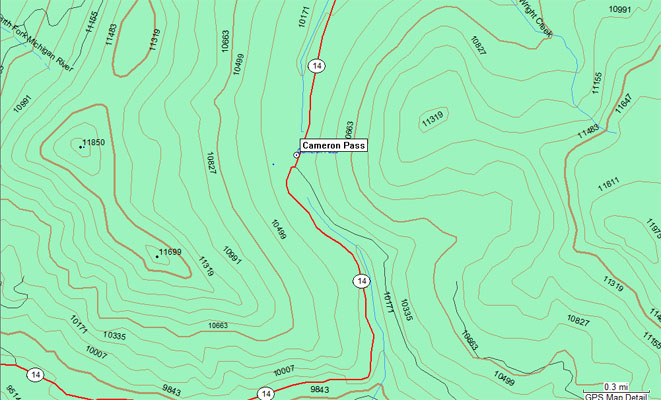
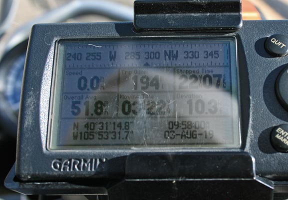
Garmin MapSource |
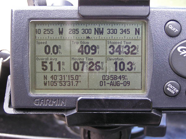
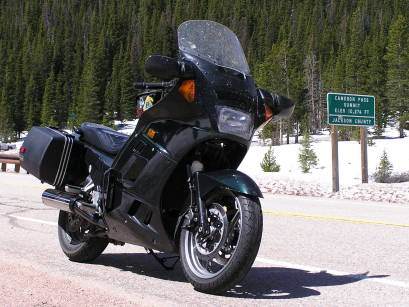
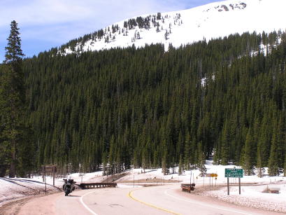
photos by Randy Bishop, 08/01/2009
At the summit. |
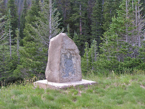
Missing bronze marker. |
At the summit. |
#14 - photos by Randy Bishop, 05/21/2005
At the summit. |
At the summit. |
At the summit, looking west. |
The 1929-vintage
History Colorado (State Historical Society of Colorado) marker read:
This memorial is the property of the State of Colorado. Cameron Pass. Across the Continental Divide
between Cache la Poudre and Michigan rivers. Altitude 10,285. Discovered 1870 by R.A. Cameron, founder
of Fort Collins. Used as an early mail and freight route. Improved highway opened 1926. Erected with the
U.S. Forest Service, 1929.
| Feature Name | ID | Class | County | State | Latitude | Longitude | Ele(ft) | Map | BGN Date | Entry Date |
| Cameron Pass | 177252 | Gap | Larimer | CO | 403115N | 1055333W | 10249 | Clark Peak | - | 13-OCT-1978 |