
Cameron Mountain Pass
|
Cameron Mountain Pass |
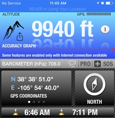
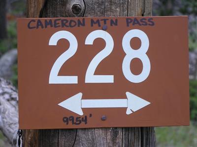
Cameron Mountain Pass - Chaffee / Fremont Counties - Colorado - 9,940 feet
(other name - Ute Trail, Whitehorn)
Railroad Gulch to west. Willow Creek to east.
CR-175 (Ute Trail) northeast of Salida
gravel - dual sport
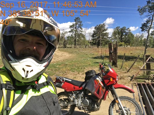
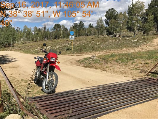
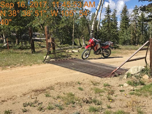
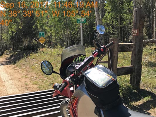
photos by Scott Westfall, 9/16/2017
At the summit, looking northeast. |
At the summit, looking north. |
At the summit, looking west. |
At the summit, looking south. |
Near the summit. |
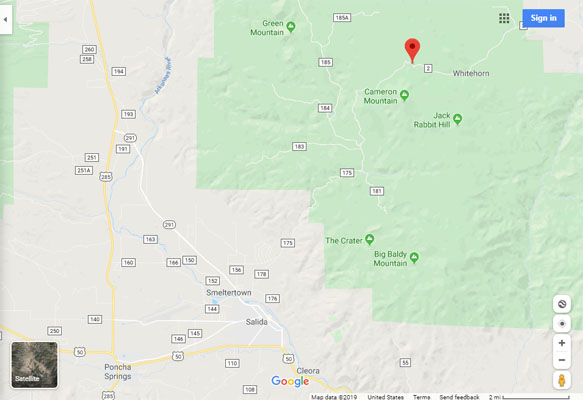
Google Maps |
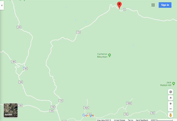
Google Maps |
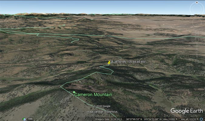
Google Earth |
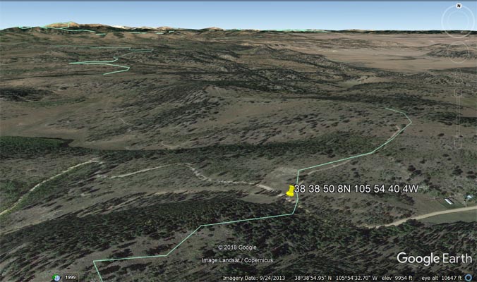
Google Earth |
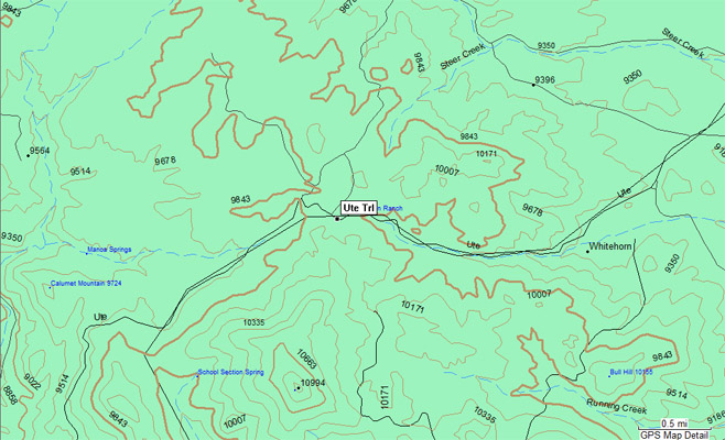
Garmin MapSource |
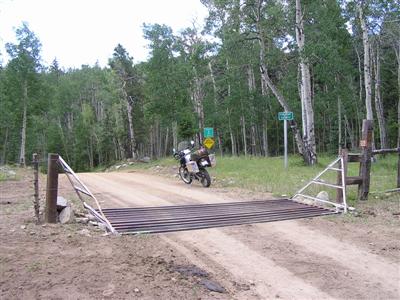
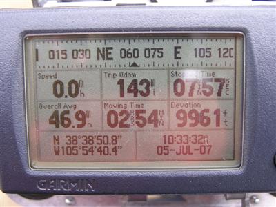
#87 - photos by Randy Bishop, 07/05/2007
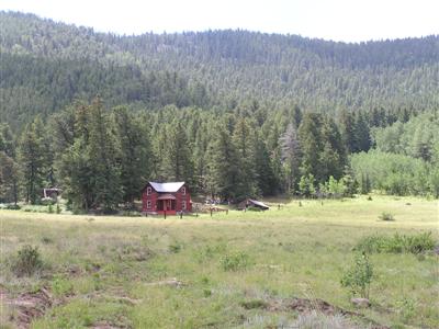
A cabin just west of the summit. |

At the summit, looking west. |
At the summit, looking east. |
At the summit. |
At the summit. |
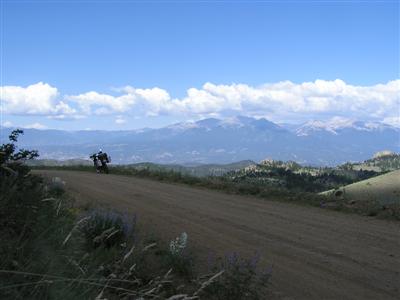
Heading back down, looking northwest. |
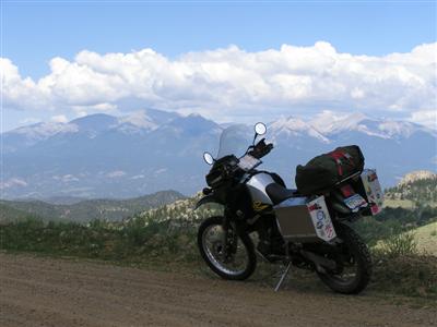
West of the summit, looking northwest. |
| Feature Name | ID | Class | County | State | Latitude | Longitude | Ele(ft) | Map | BGN Date | Entry Date |
| Cameron Mountain | 191460 | Summit | Fremont | CO | 383749N | 1055455W | 10994 | Cameron Mountain | - | 13-OCT-1978 |