
Campion Pass
|
Campion Pass |
Campion Pass - Clear Creek County - Colorado - 13,183 feet
Scott Gomer Creek to west. Tumbling Creek to east.
Can be seen from the Mt. Evans Road.
hiking trail only
photos by Randy Bishop, 4/7/2017
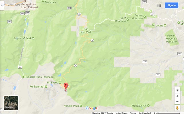
Google Maps |
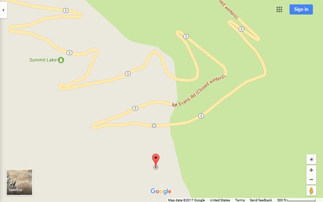
Google Maps |
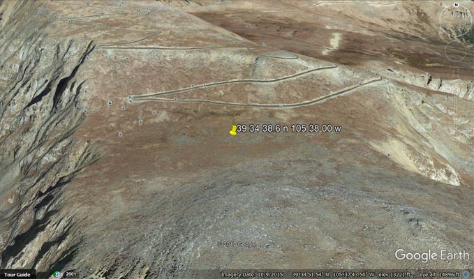
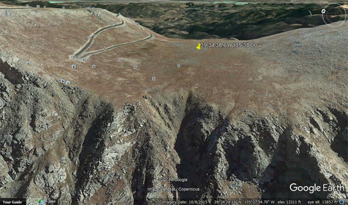
Google Earth, looking north. |
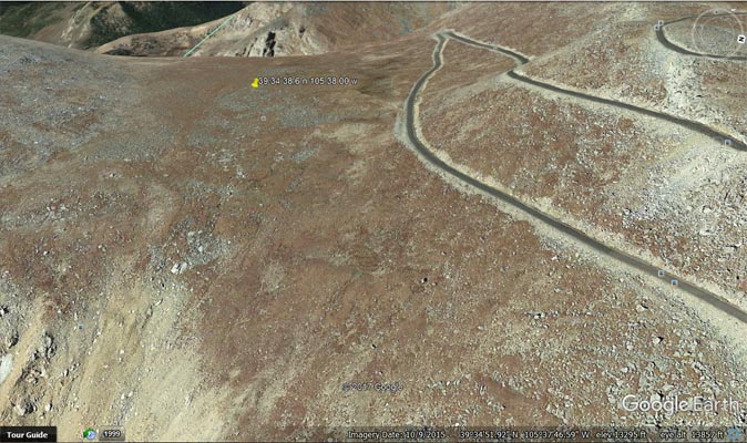
Google Earth, looking west. |
Google Earth, looking east. |
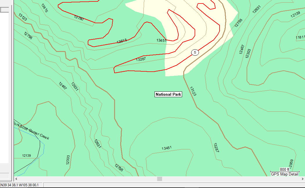
Garmin Mapsource |

USGS Historic Trail Map of the Denver 1"x2" Quadrangle, Central Colorado |
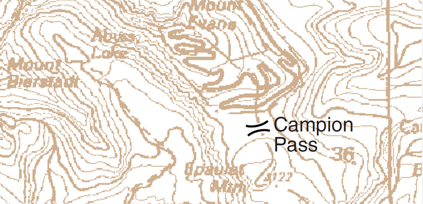
USGS Historic Trail Map of the Denver 1"x2" Quadrangle, Central Colorado |
Notes from Randy: The nearest point of the Mt. Evans road is 770 feet away and 50 feet higher and makes no point of
traveling between the watersheds, which drop off cliffs to the west and east. The summit of the pass can be reached on foot.