
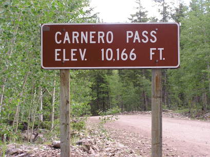
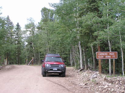
Carnero Pass
|
Carnero Pass |
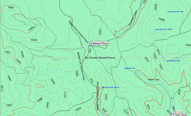
Carnero Pass - Saguache County - Colorado - 10,166 feet
Houselog Creek to north. Middle Fork of Carnero Creek to south.
(other names - Mountain Sheep, Puerto del Carnero)
CR-41G and FR-690 southwest of Saguache
gravel - dual sport
#88 - photos by Randy Bishop, 7/5/2007
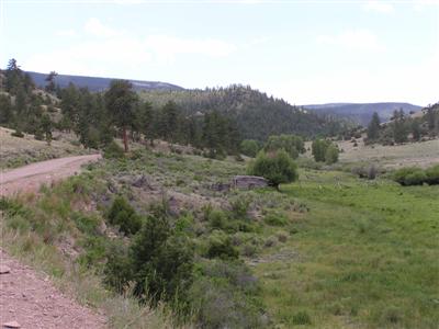
Heading south toward the summit. |
Heading south toward the summit. |
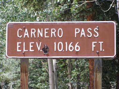
At the summit. |

At the summit, looking south. |

At the summit, looking north. |
At the summit. |

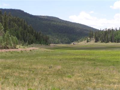
Heading back north. |
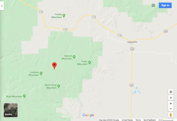
Google Maps |
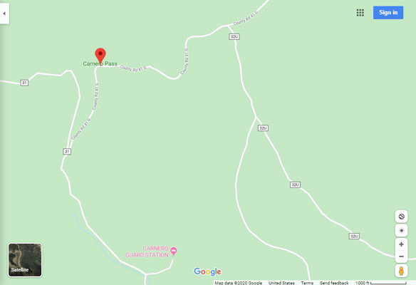
Google Maps |
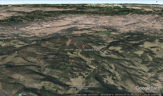
Google Earth |
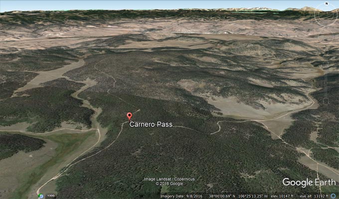
Google Earth |
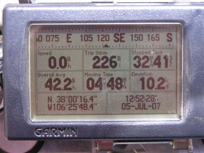
Garmin MapSource |
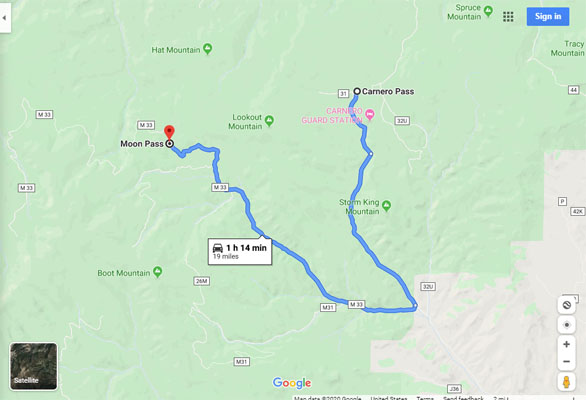
Google Maps, Carnero to Moon |
photos by Randy Bishop, 6/26/2005
At the summit. |
At the summit, looking south. |
| Feature Name | ID | Class | County | State | Latitude | Longitude | Ele(ft) | Map | BGN Date | Entry Date |
| Carnero Pass | 190197 | Gap | Saguache | CO | 380016N | 1062550W | 10170 | Lake Mountain | - | 13-OCT-1978 |
| Feature Name | ID | Class | County | State | Latitude | Longitude | Ele(ft) | Map | BGN Date | Entry Date |
| Carnero Guard Station | 189530 | Locale | Saguache | CO | 375918N | 1062529W | 9833 | Lookout Mountain | - | 13-OCT-1978 |