
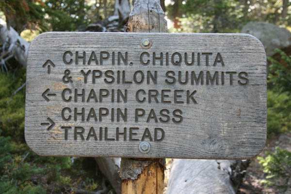
Chapin Pass
|
Chapin Pass |
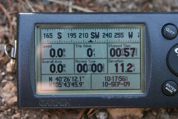
Chapin Pass - Larimer County - Colorado - 11,140 feet
Chapin Creek to north. Fall River to south.
In Rocky Mountain National Park about 1/2 mile off Old Fall River Road.
hiking trail
photos by Randy Bishop, 9/10/2009
At the summit. |
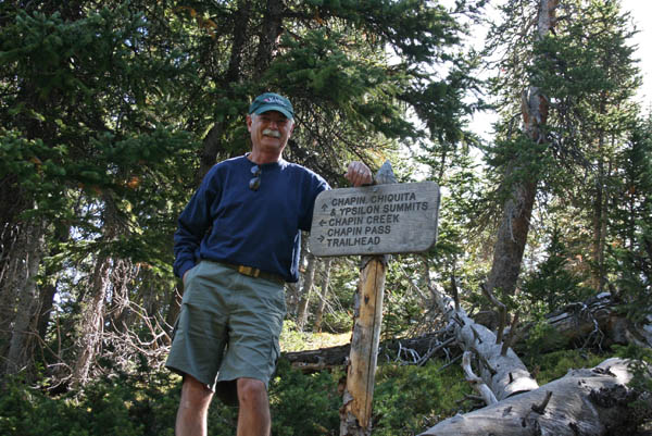
At the summit. |
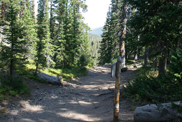
At the summit, looking north. |
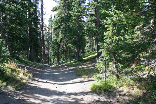
At the summit, looking south. |
At the summit. |
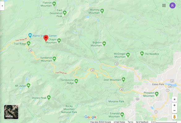
Google Maps |
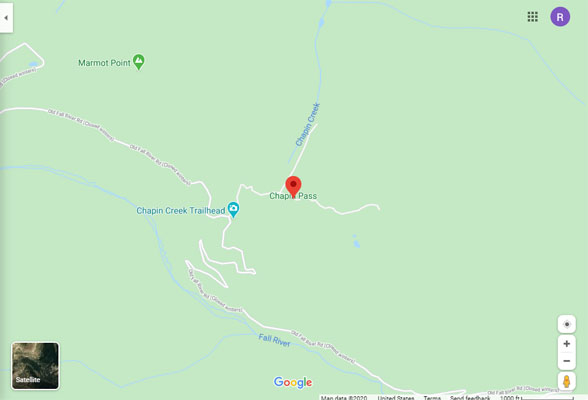
Google Maps |
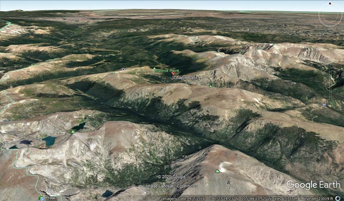
Google Earth |
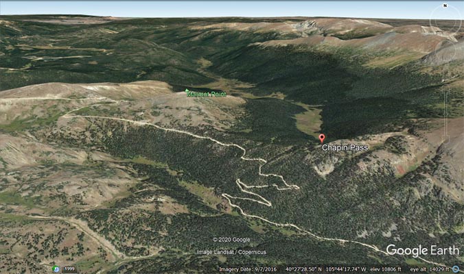
Google Earth |
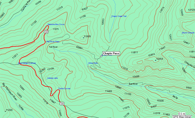
Garmin Mapsource |
| Feature Name | ID | Class | County | State | Latitude | Longitude | Ele(ft) | Map | BGN Date | Entry Date |
| Chapin Pass | 177595 | Gap | Larimer | CO | 402608N | 1054341W | 11158 | Trail Ridge | 01-JAN-1932 | 13-OCT-1978 |