
Cherry Creek Pass
|
Cherry Creek Pass |
Cherry Creek Pass - Douglas / El Paso Counties - Colorado - 7,643 feet
One of many roads crossing the Palmer Divide area.
The "official" pass over the divide is Monument Hill.
East of Monument on US-83 near Hodgen Road.
paved - road bike
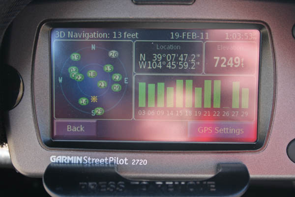
photos by Randy Bishop, 2/19/2011

At the summit, looking north. |
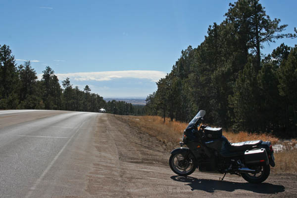
At the summit, looking south. |
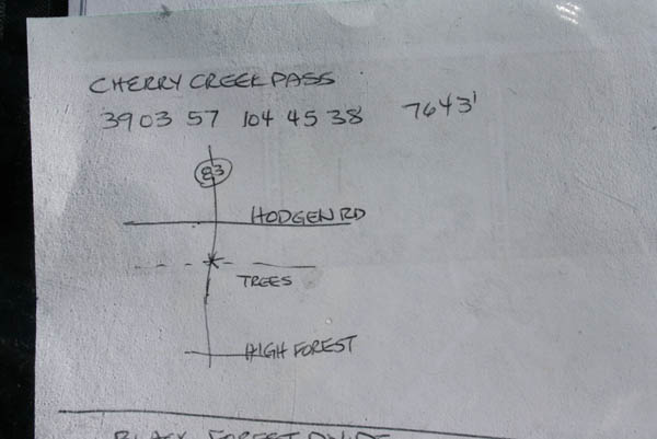
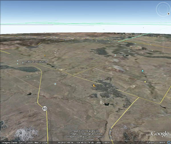
The map. |
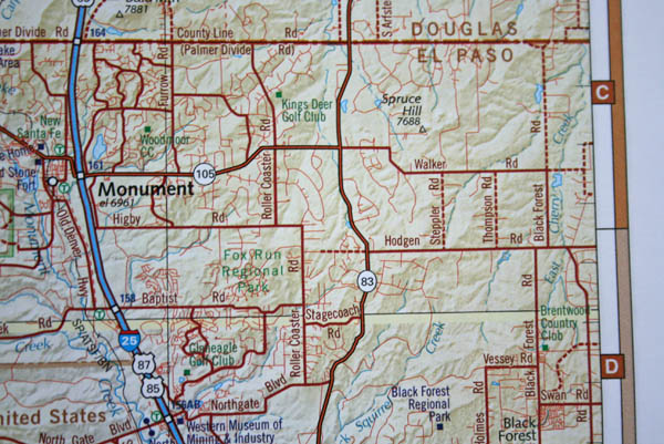
Pass located at the "83" sign. |
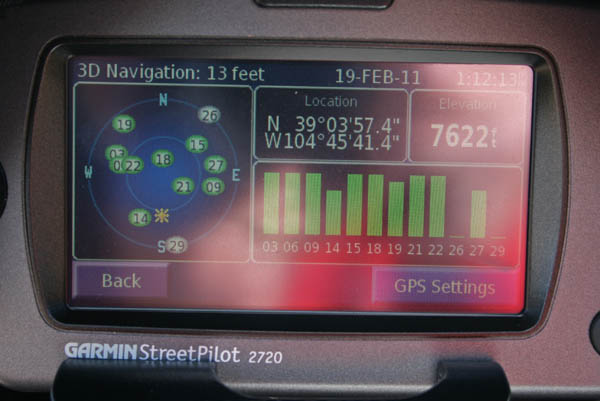
At the summit. |
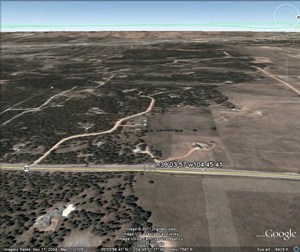
Google Earth view, looking west. |
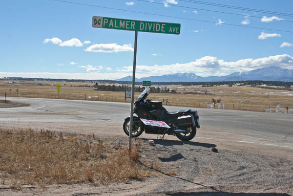
At the corner of US-83 and Palmer Divide Avenue (County Line Road).
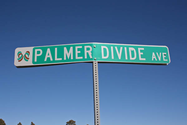
At the corner. |

At the corner, looking north. |
At the corner, looking south. |
At the corner. |
Google Earth view, looking southwest. |
Photo from Scott Smith, 8/27/2006
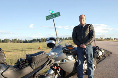
Scott, just north of the summit. |