
Mount Blue Sky (Mount Evans)
|
Mount Blue Sky (Mount Evans) |
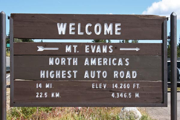
Mount Blue Sky (Mount Evans) - Colorado - 14,260 feet
CO-103 and Mount Blue Sky (Mount Evans) Road south of Idaho Springs.
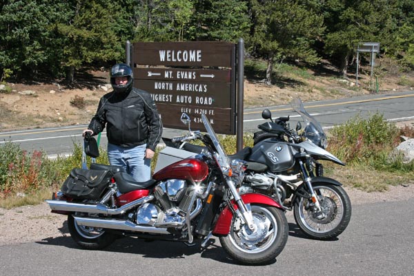
pavement - road bike
photos by Randy Bishop, 8/17/2006
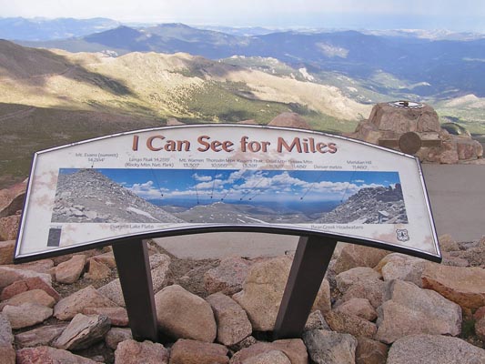
At the summit. |
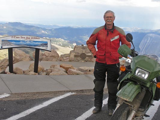
Randy Bishop |
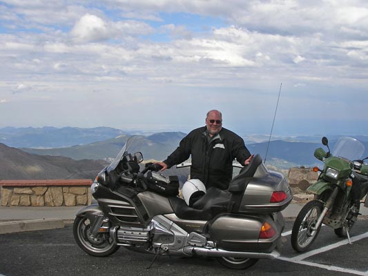
Mike Kneebone |

At the summit. |
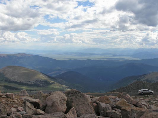
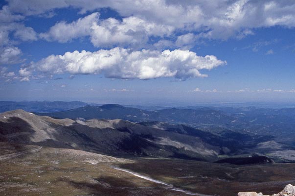
At the summit, looking west to South Park. |
During 1-day IBA ride to the summits of Pikes Peak and Mt Evans. |
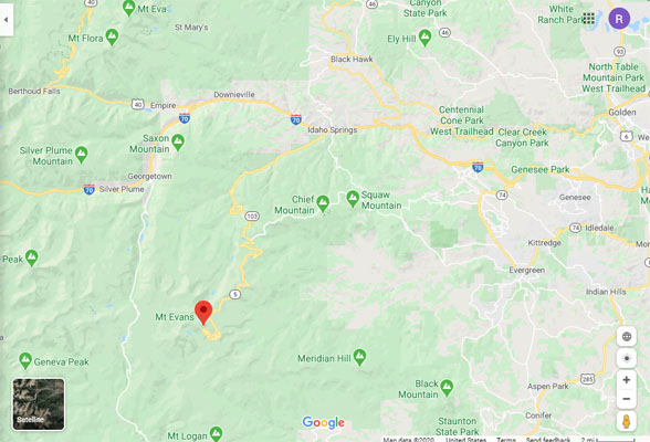
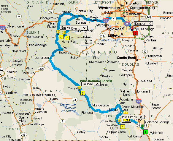
Google Maps |
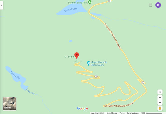
Google Maps |
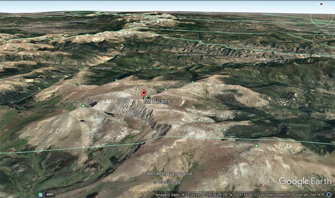
Google Earth |
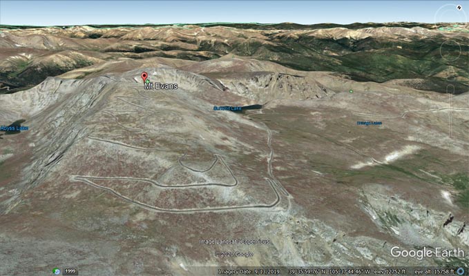
Google Earth, looking northwest. |
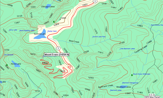
Garmin Mapsource |
photos by Randy Bishop, 9/18/2011
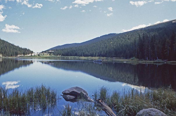
At Echo Lake, 14 miles and 3,500 feet from the summit. |
Jim Fraser |
At Echo Lake, looking west. |
photos by Randy Bishop, 9/11/1984
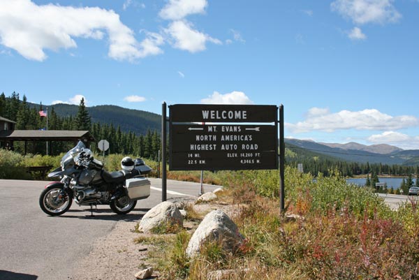
Echo Lake, by the entrace to the road to the summit. |
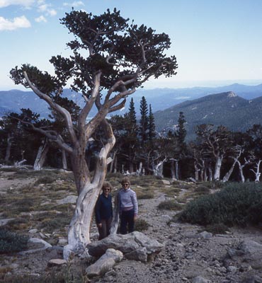
Bristlecone pine trees along the road. |
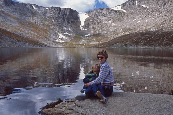
Summit Lake |
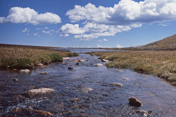
At Summit Lake. |
View from the summit parking lot. |
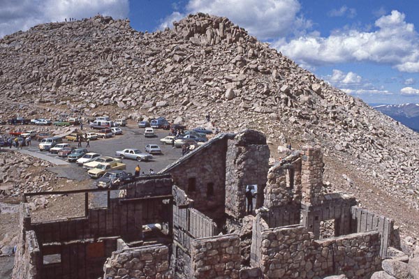
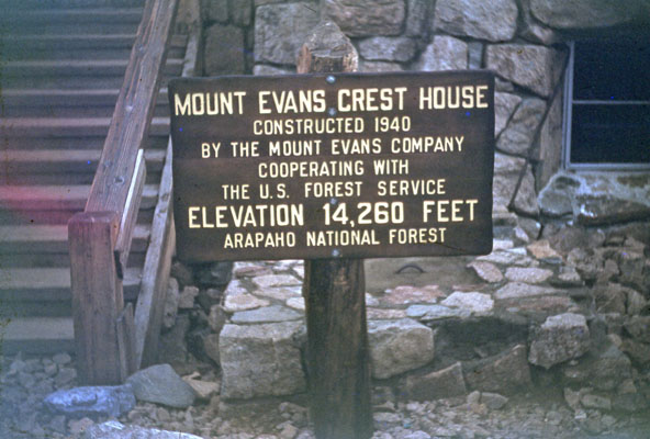
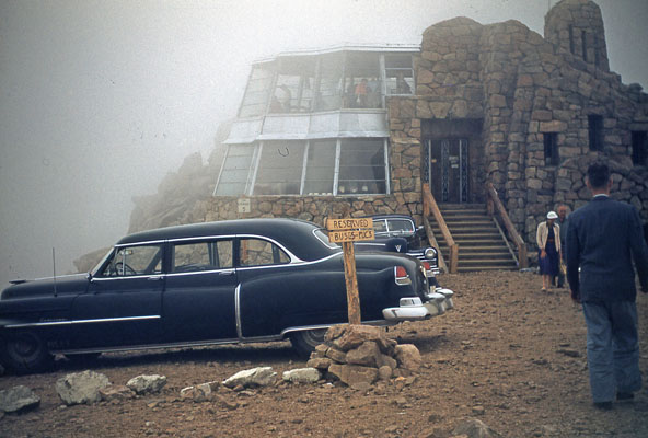
The Crest House at the summit. |
photos by my father-in-law Ralph Smith, 6/16/1955
At the summit parking lot. |
At the summit parking lot. |
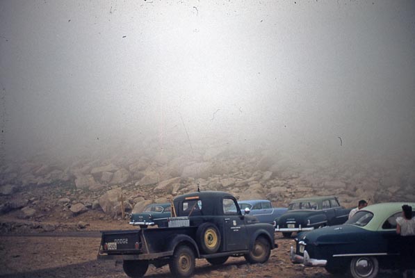
At the summit parking lot. |
| Feature Name | ID | Class | County | State | Latitude | Longitude | Ele(ft) | Map | BGN Date | Entry Date |
| Mount Evans | 204716 | Summit | Clear Creek | CO | 383517N | 1053837W | 14249 | Mount Evans | - | 13-OCT-1978 |
| Mount Blue Sky | 204716 | Summit | Clear Creek | CO | 393517N | 1053837W | 14249 | Mount Blue Sky | 13-OCT-1978 | 28-SEP-2023 |