
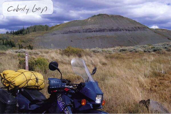
Coberly Gap
|
Coberly Gap |
Coberly Gap - Eagle County - Colorado - 9,260 feet
Alkali Creek to north. Milk Creek to south.
Northwest of Wolcott up Alkali Creek Road and Forest Road 8500.
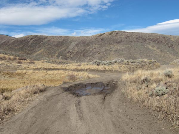
Dirt or wet gumbo - dual sport
photos by Karst Postma, 10/22/2012
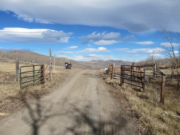
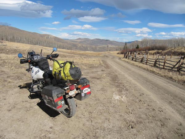
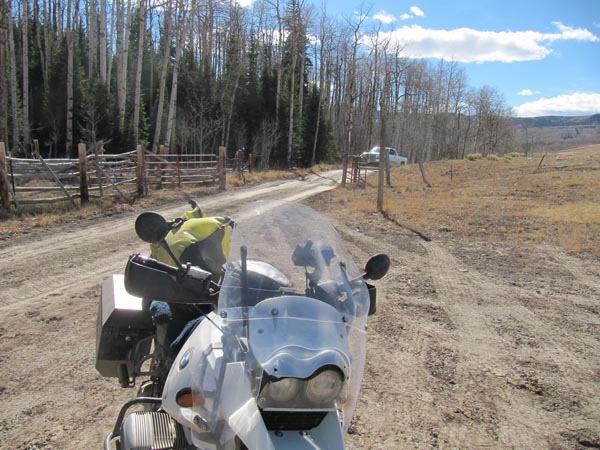
On the way to the summit. |
At the summit. |
At the summit. |
At the summit. |

At the summit. |
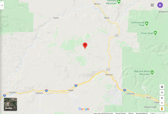
Google Maps |
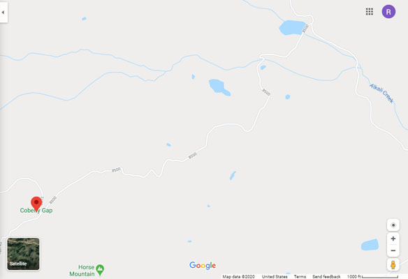
Google Maps |
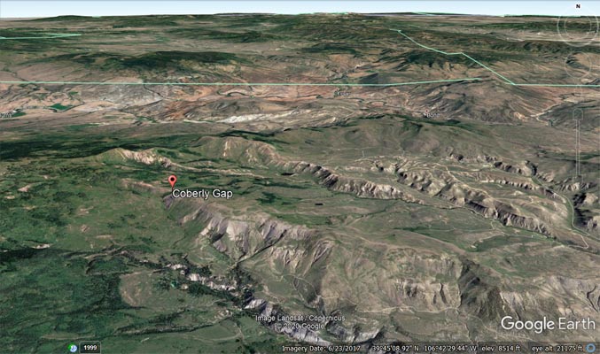
Google Earth |
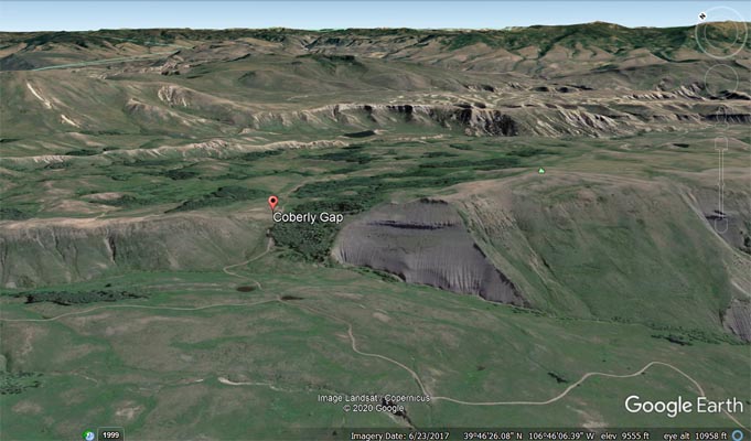
Google Earth, looking northeast. |
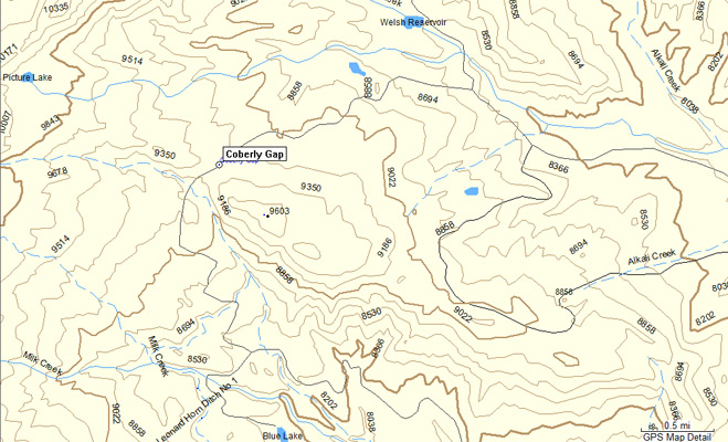
Garmin MapSource |
Notes from Karst: I made it this time, but it would have been impassable when wet. Normally, CR-54 is
hard-packed, but after a rain will immediately turn to mud as we found out the last time. The initial couple
of miles of CR-54, besides the mud issue when wet, are good, but then it turns into a very rutted road,
occasionally rocky, but very doable with some skills, even on a 1150GS.
This ride reminded me again that hard boots are a good thing to wear. On the way down my foot hit a rock
on the side of the road. I was not going very fast, but it felt like my toes were shoved into my heels.
Hurt like crazy for about 10 minutes, but wiggling everything around seemed to indicate nothing was broken.
At home my big toe is just a bit sore. If I would have had soft boots I am sure I would have done some
serious damage.
Photo by Roamin Carloski
Near the summit. |
| Feature Name | ID | Class | County | State | Latitude | Longitude | Ele(ft) | Map | BGN Date | Entry Date |
| Coberly Gap | 175795 | Valley | Eagle | CO | 394643N | 1064622W | 9285 | Castle Peak | - | 13-OCT-1978 |