
Cochetopa Pass
|
Cochetopa Pass |
Cochetopa Pass - Gunnison / Rio Grande Counties - Colorado - 10,067 feet - On the Continental Divide
Archuleta Creek to west. Cantonment Creek to east.
(other names - Leroux, Puerto de los Cibolas, Saguache, Sawatch, West)
CR-NN14 west of Saguache
gravel, dirt - dual sport
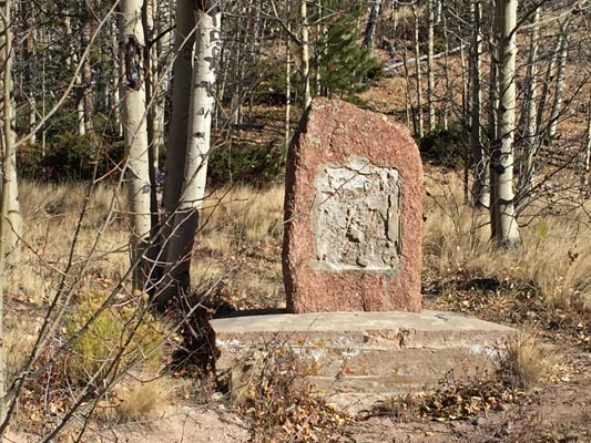
photos by John Meyer, 10/16/2016

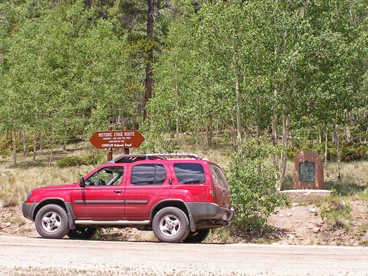
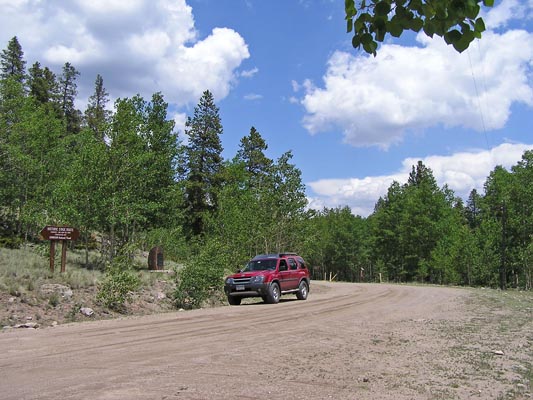
At the summit. |
At the summit. |
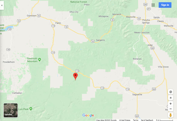
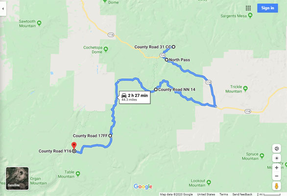
Google Maps |
Google Maps |
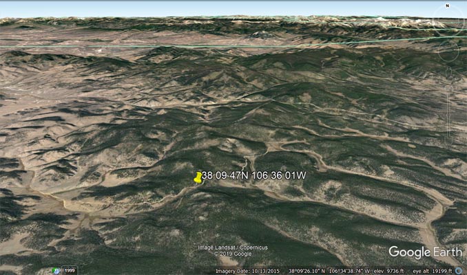
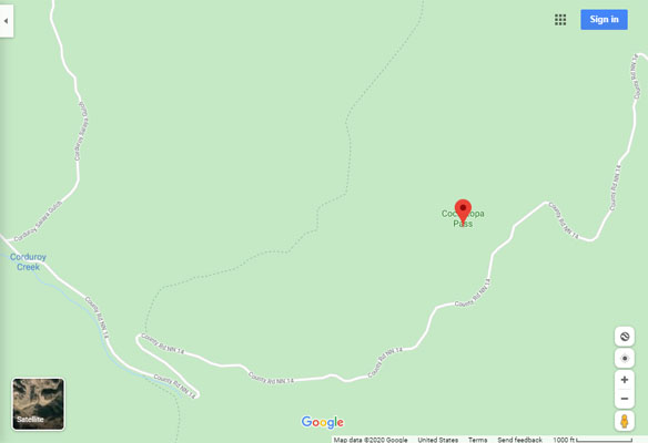
Google Earth |
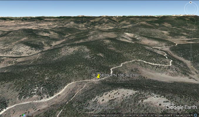
Google Earth |
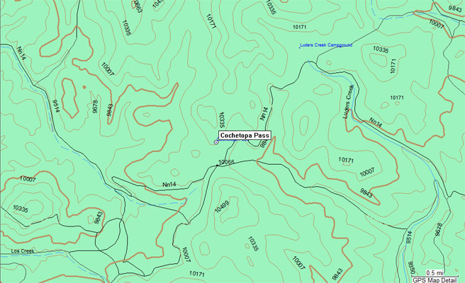
Garmin MapSource |
Google Maps, Peon, North, Cochetopa, South, to Sony |
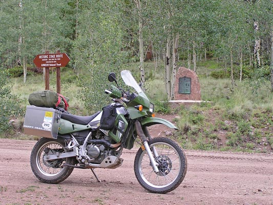
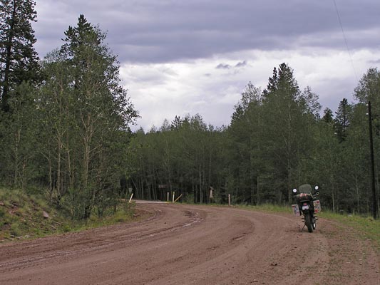
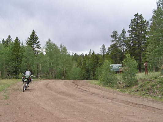
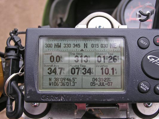
#91 - photos by Randy Bishop, 7/5/2007
At the summit. |
At the summit. |
At the summit, looking east. |
At the summit, looking west. |
At the summit. |
photos by Randy Bishop, 6/26/2005
At the summit. |
At the summit. |
At the summit. |
At the summit. |
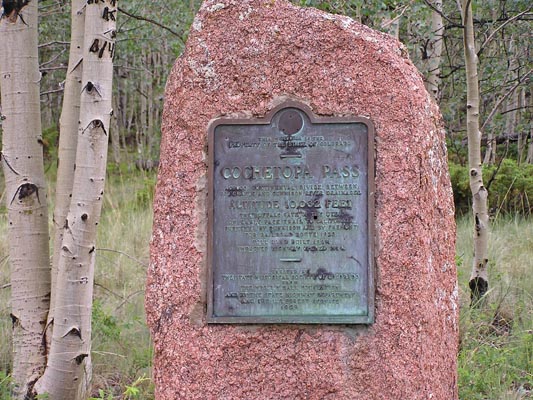
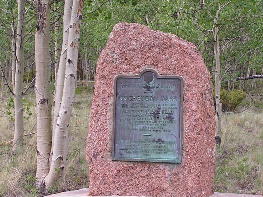
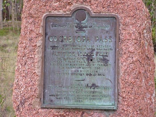
The 1929-vintage
History Colorado (State Historical Society of Colorado) marker read:
This memorial is the property of the State of Colorado. Cochetopa Pass. Across Continental Divide between
Rio Grande and Gunnison River drainages. Altitude 10,032 feet. The "buffalo gate" of the Utes. On early
pack trail to California. Surveyed by Gunnison and by Fremont for railroad route, 1853. Toll road built
1869. Improved highway opened 1914. Erected by the State Historical Society of Colorado from the
Mrs. J. N. Hall Foundation and by the State Highway Department and the U.S. Forest Service, 1929.
| Feature Name | ID | Class | County | State | Latitude | Longitude | Ele(ft) | Map | BGN Date | Entry Date |
| Cochetopa Pass | 190046 | Gap | Saguache | CO | 381000N | 1063602W | 10200 | North Pass | 01-JAN-1963 | 13-OCT-1978 |