
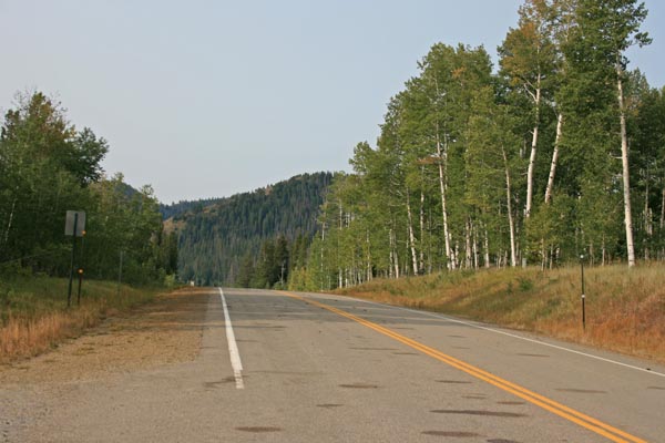
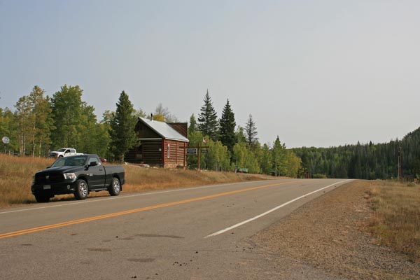
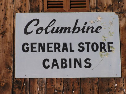
Columbine Pass
|
Columbine Pass |
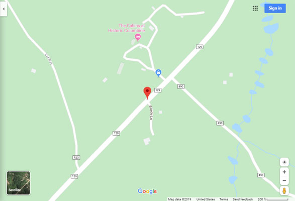
Columbine Pass - Routt County - Colorado - 8,697 feet
Independence Creek to north. Willow Creek to south.
On CR-129 north of Steamboat Springs
north side, + 0.7 miles - gravel - dual sport
south side - paved - road bike
#110 - photos by Randy Bishop, 9/15/2020
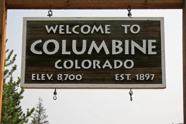
At the summit. |
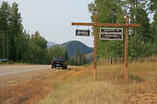
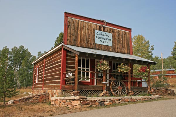
At the summit, looking south. |
At the summit, looking south. |
At the summit, looking north. |
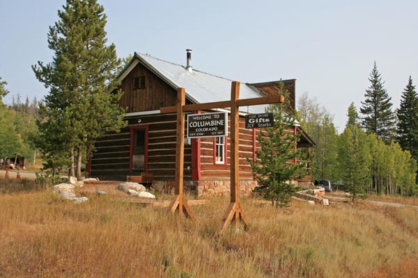
At the summit. |
At the summit. |
At the summit. |
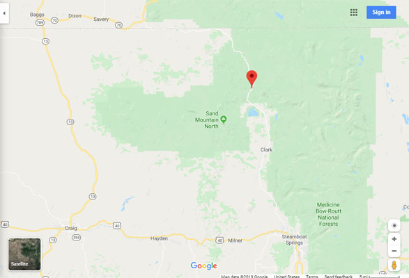
Google Maps |
Google Maps |
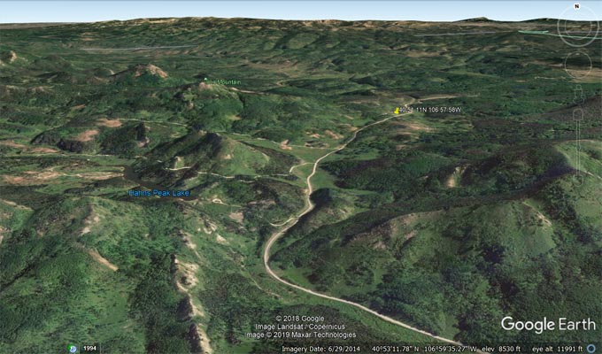
Google Earth |
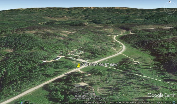
Google Earth |
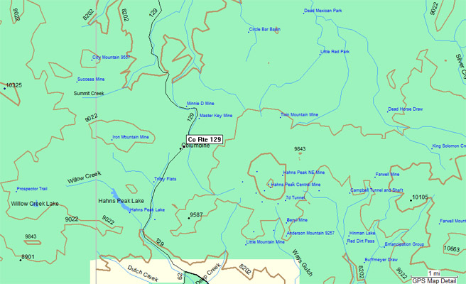
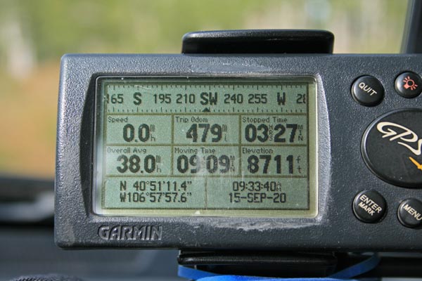
Garmin MapSource |
#110 - photos by Randy Bishop, 8/12/2007
At the summit. |
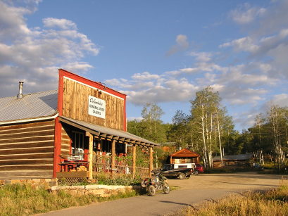
At the summit. |
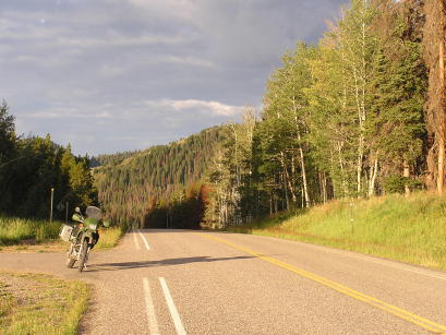
At the summit, looking south. |
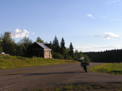
At the summit, looking north. |
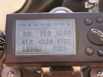
At the summit. |
| Feature Name | ID | Class | County | State | Latitude | Longitude | Ele(ft) | Map | BGN Date | Entry Date |
| Columbine | 170461 | Populated Place | Routt | CO | 405115N | 1065757W | 8701 | Hahns Peak | - | 13-OCT-1978 |