
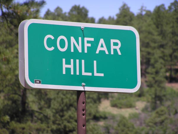
Confar Hill
|
Confar Hill |
Confar Hill - Archuleta county - Colorado - 7866 feet
Coyote Creek to northwest, flows south to Navajo River.
Spring Creek and Little Navajo River to southeast, flow south to Navajo River.
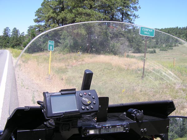
US-84 (mile post 8) south of Pagosa Springs
pavement - road bike
photos by Scott Westfall, 8/31/2016
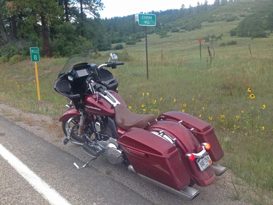
At the summit. |
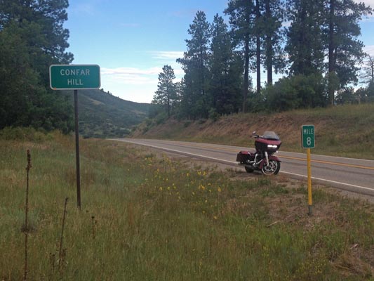
At the summit. |

At the summit. |
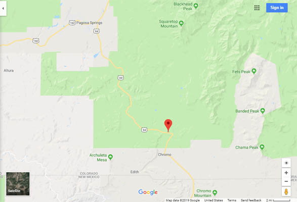
Google Maps |
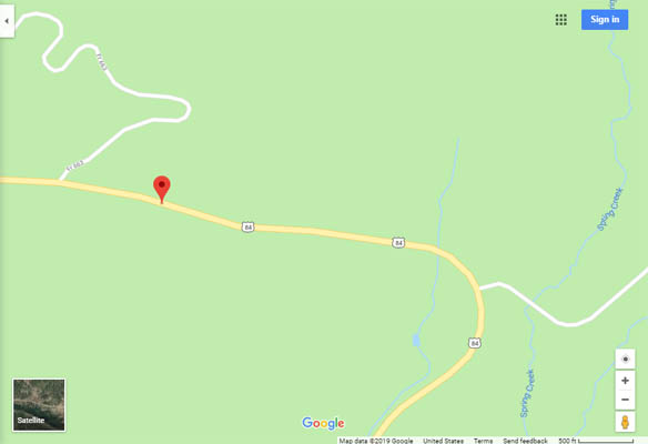
Google Maps |
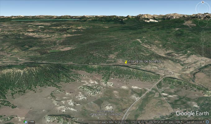
Google Earth |
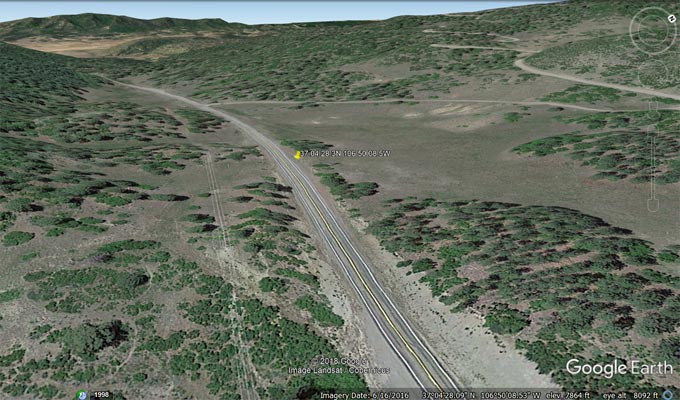
Google Earth, looking northwest. |
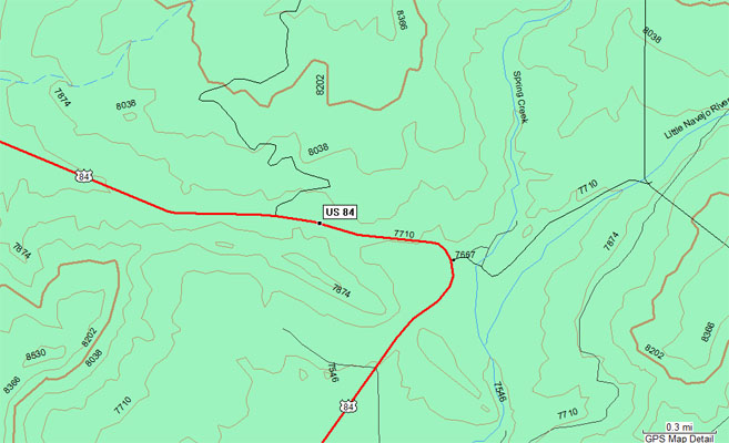
Garmin MapSource |
#153 - photos by Randy Bishop, 07/15/2006
At the summit. |
At the summit, looking west. |
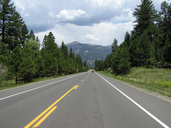
Just west of the summit, looking west. |