
Corkscrew Pass
|
Corkscrew Pass |
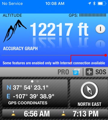
Corkscrew Pass - Ouray / San Juan Counties - Colorado - 12,217 feet
Corkscrew Gulch to west. Cement Creek to east.
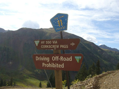
On FR-886 between Ironton on US-550 and Hurricane Pass on CR-11.
off-road - dirt bike or dual sport
photos by John Meyer, 9/19/2018
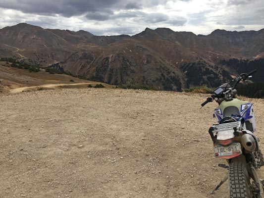
At the summit, looking east. |
At the summit, looking south. |
At the summit, looking west. |
At the summit, looking north. |
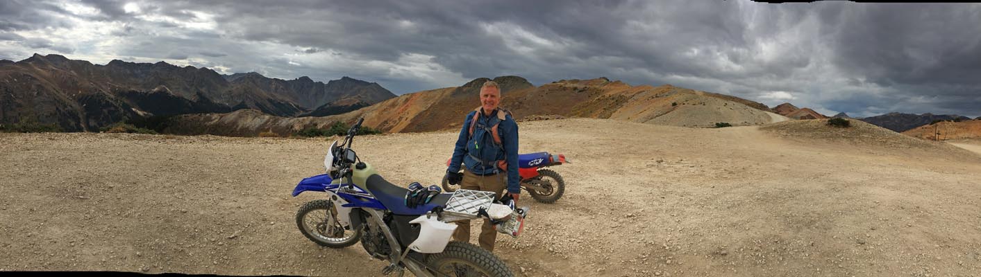
At the summit. |
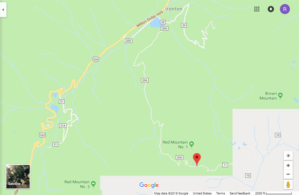
Google Maps |
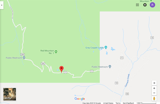
Google Maps |
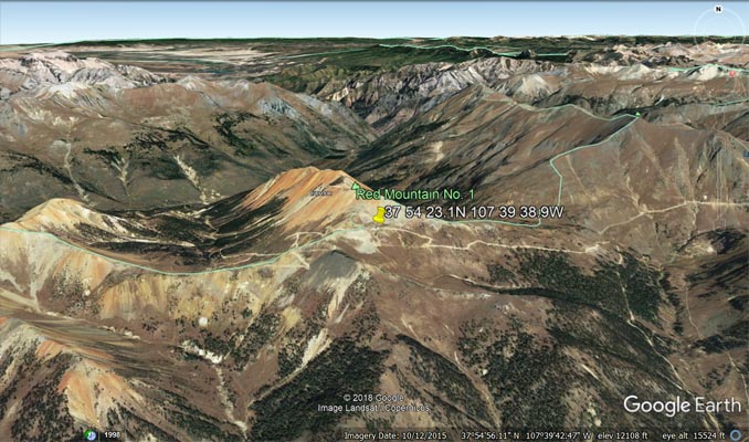
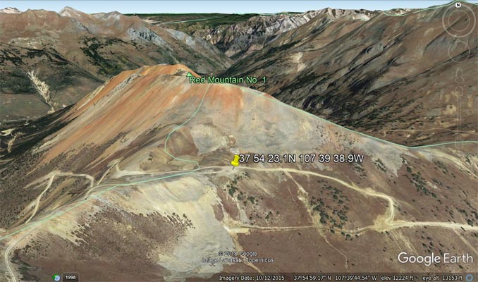
Google Earth |
Google Earth |
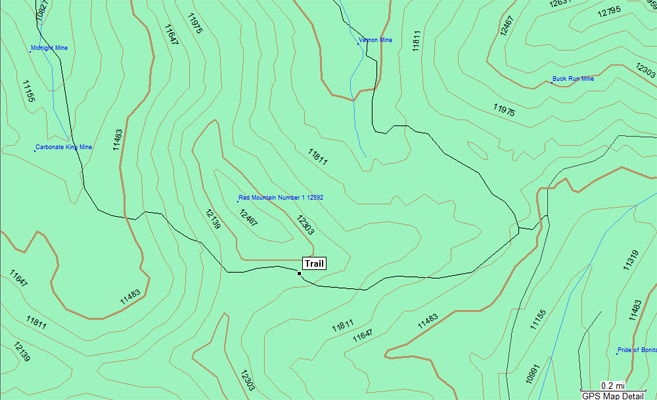
Garmin MapSource |
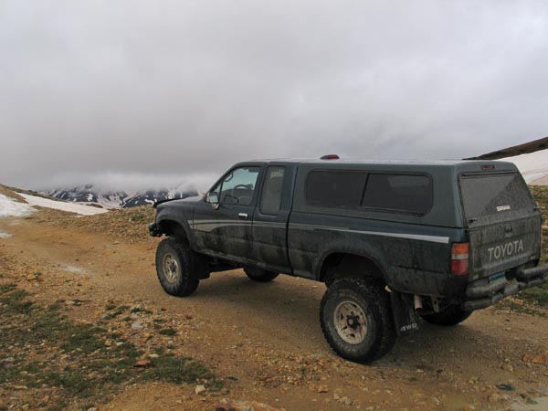
photo by Leif Rudd, 6/8/2006, Aspen Graphics Photography
At the summit. |
photo by Deward Knapp, 8/24/2006
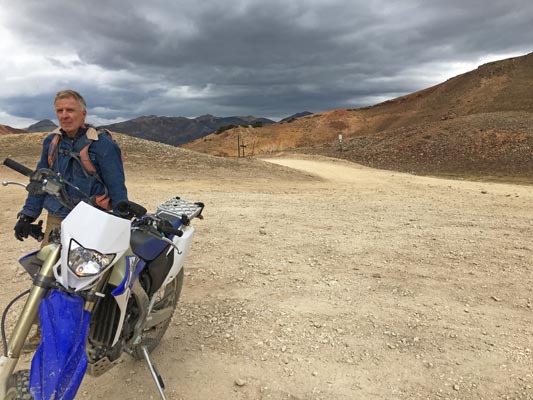
Near the summit. |
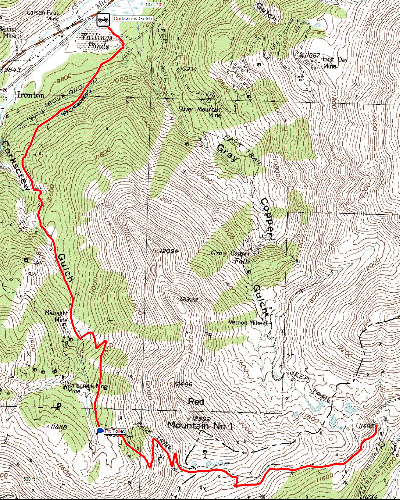
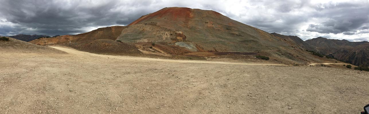
Summit on red line, just south of Red Mountain One. |