
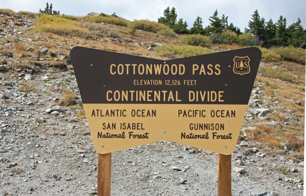
Cottonwood Pass
|
Cottonwood Pass |
Cottonwood Pass - Chaffee / Gunnison Counties - Colorado - 12,126 feet
Pass Creek to west. North Fork of Middle Cottonwood Creek to east.
CR-306 west of Buena Vista
pavement - road bike
photos by Randy Bishop, 9/16/2017
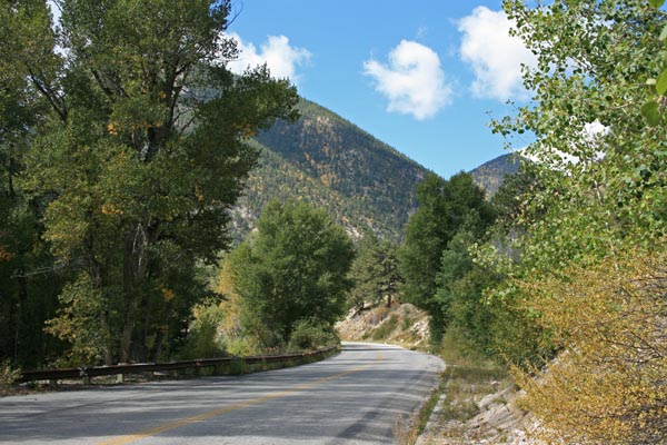
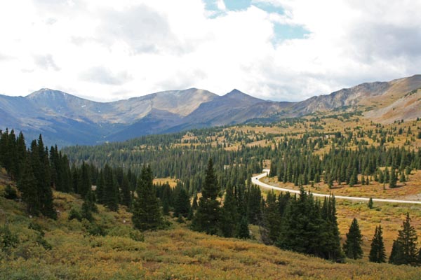
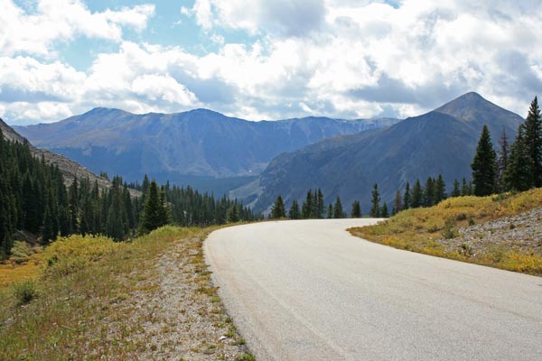
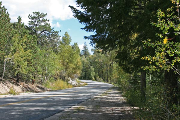
Looking uphill from Buena Vista. |

Looking uphill from Buena Vista. |

Looking uphill from Buena Vista. |
Looking uphill from Buena Vista. |
Looking uphill from Buena Vista. |
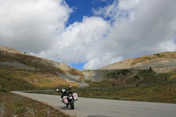
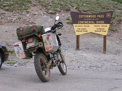
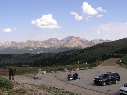
At the summit. |
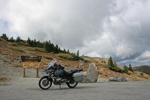
At the summit. 2004 BMW R1150GS |
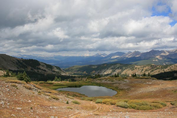
At the summit, looking west. |
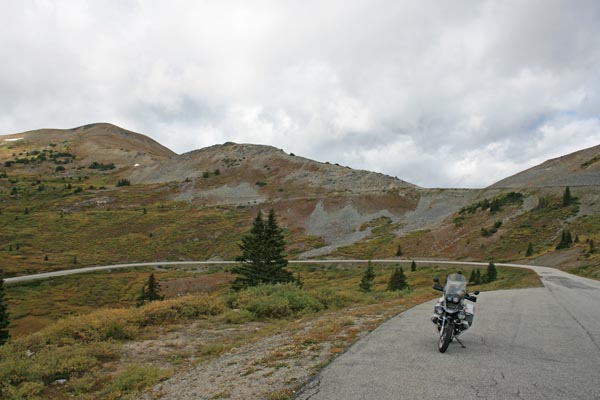
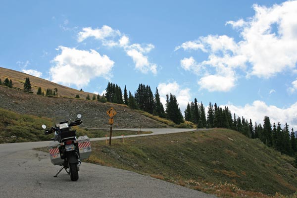
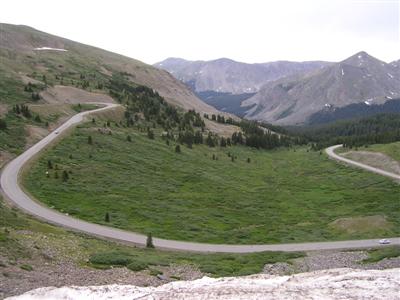
Looking downhill toward Buena Vista. |
Looking downhill toward Buena Vista. |
Looking downhill toward Buena Vista. |
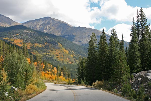
Looking downhill toward Buena Vista. |
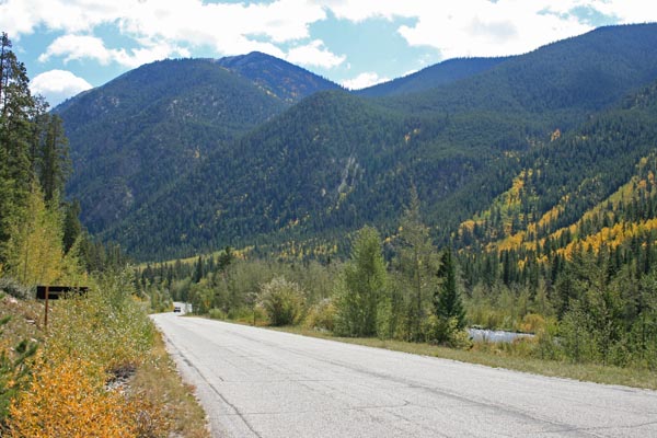
Looking downhill toward Buena Vista. |
Looking downhill toward Buena Vista. |
Looking downhill toward Buena Vista. |
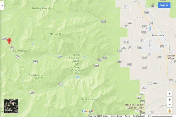
Google Maps |
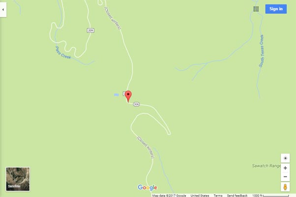
Google Maps |
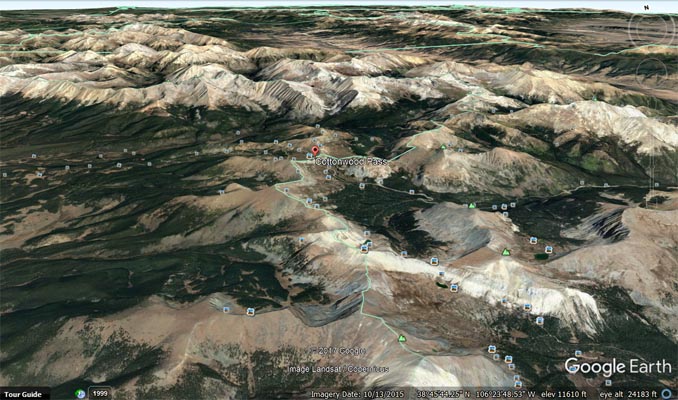
Google Earth |

Google Earth |
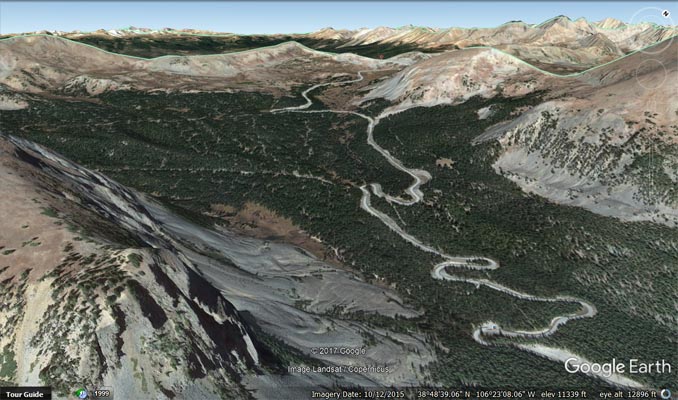
Google Earth |
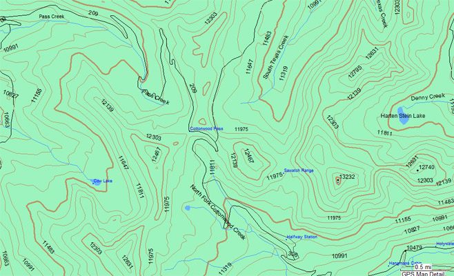
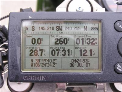
Garmin MapSource |
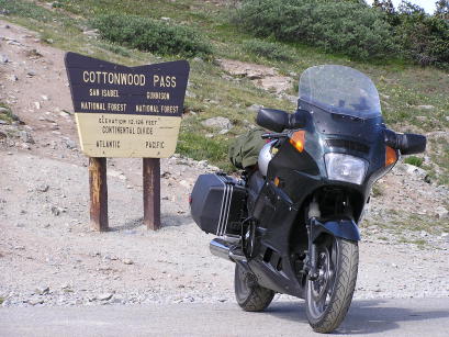
photos by Randy Bishop, 7/6/2007
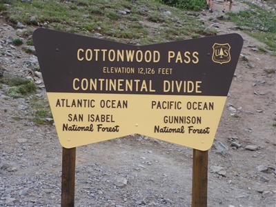
At the summit. |
At the summit. 2002 Kawasaki KLR650 |
At the summit, looking west. |
At the summit, looking east. |
At the summit. |
#61 - photos by Randy Bishop, 7/17/2006

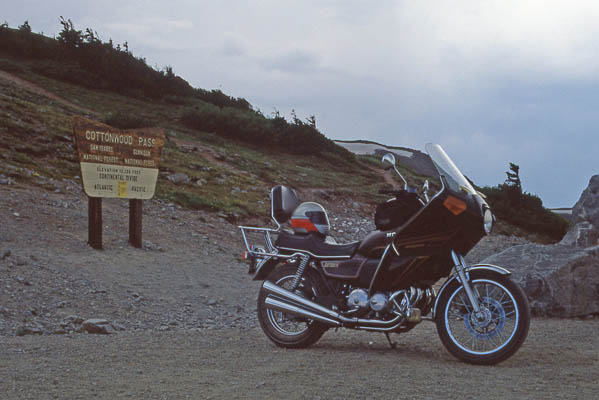
At the summit. |
At the summit. 1997 Kawasaki ZG1000 Concours |
Looking west at the summit |
photo by Randy Bishop, 6/30/1990
At the summit. 1981 Honda CB750K |
photo by Clyde Edmundson, 1960
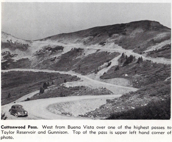
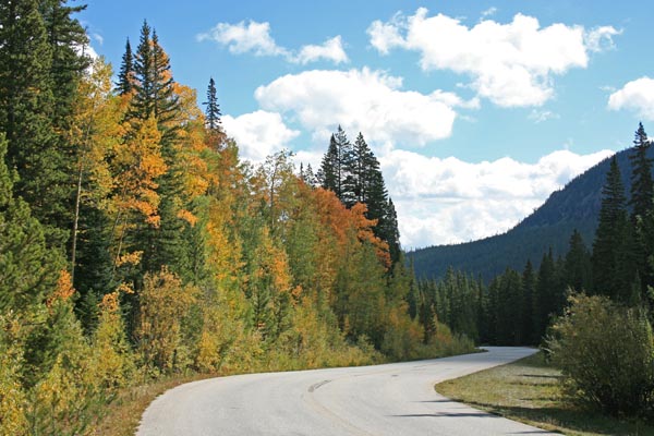
East side of pass. |
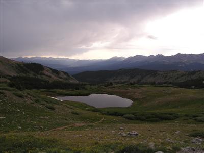
Notes from Randy: From Buena Vista to Almont, one of my favorite passes over the Continental Divide.
| Feature Name | ID | Class | County | State | Latitude | Longitude | Ele(ft) | Map | BGN Date | Entry Date |
| Cottonwood Pass | 189140 | Gap | Chaffee | CO | 384940N | 1062433W | 12119 | Tincup | - | 13-OCT-1978 |