
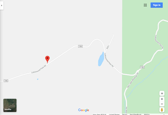
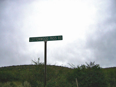
Cottonwood Pass
|
Cottonwood Pass |
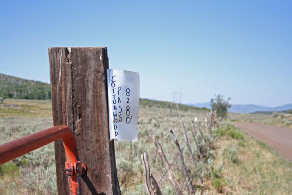
Cottonwood Pass - Eagle County - Colorado - 8,280 feet
Coulter Creek to west. Cottonwood Creek to east.
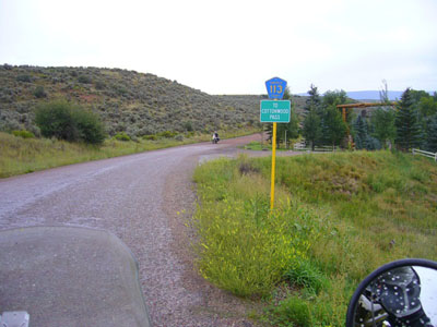
Southwest of Gypsum on Cottonwood Road / County Road 10A.
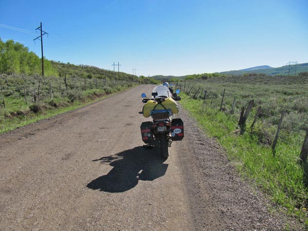
north side - narrow rough pavement - road bike
south side - gravel - dual sport
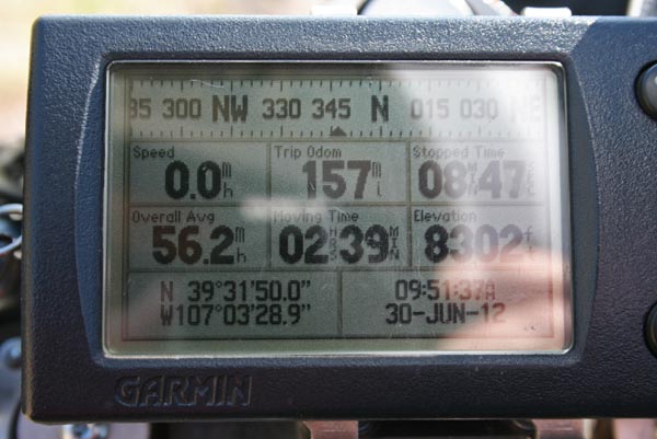
#140 - photos by Randy Bishop, 6/30/2012
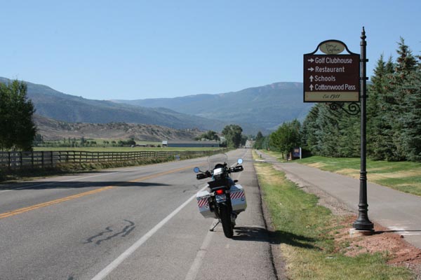
On Valley Rd in Gypsum. |

At the summit. |
At the summit. |

At the summit, looking southwest. |

At the summit, looking northeast. |

At the summit. |
At the summit. |
Heading back to Gypsum. |

Nearing Blue Hill. |
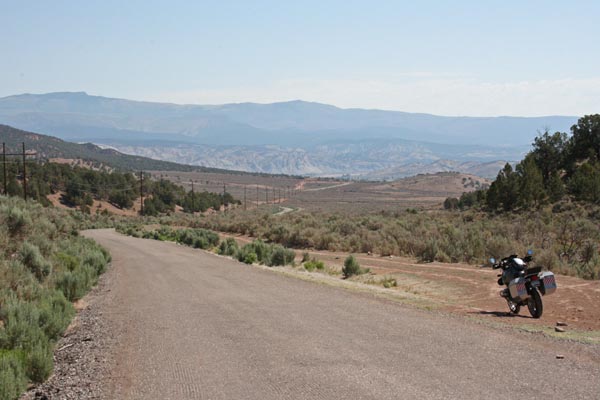
Northeast of Blue Hill. |
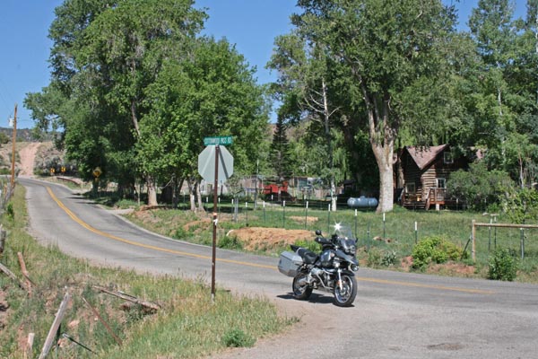
Near Gypsum. |
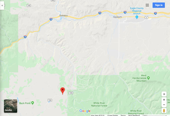
Google Maps |
Google Maps |
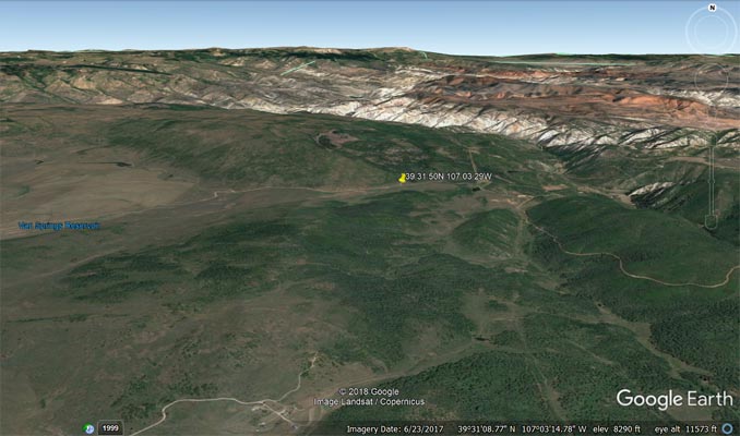
Google Earth |
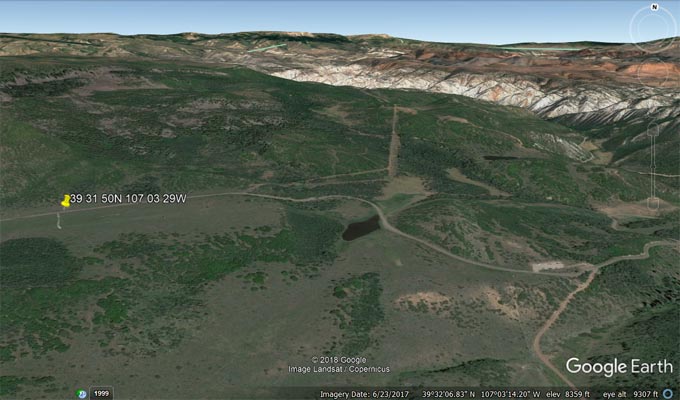
Google Earth |
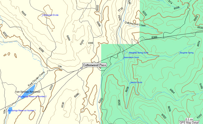
Garmin MapSource |
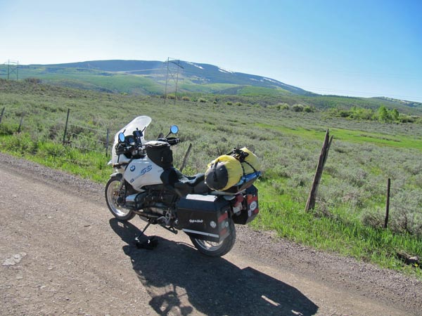
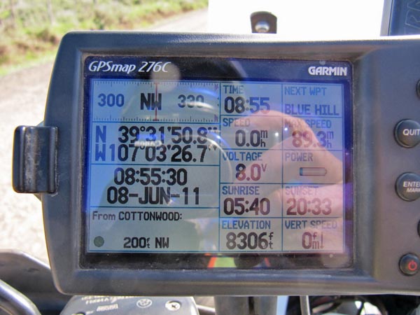
photos by Karst Postma, 6/8/2011
At the summit. |
At the summit. |

At the summit. |

At the summit. |
At the summit. |
photos from Deward Knapp, 8/4/2006
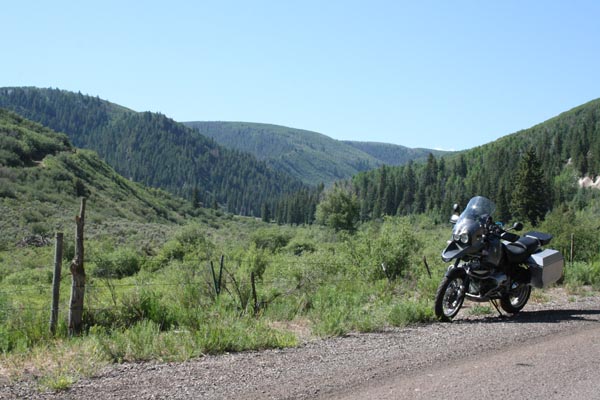
Along the route. |

Along the route. |
Along the route. |
| Feature Name | ID | Class | County | State | Latitude | Longitude | Ele(ft) | Map | BGN Date | Entry Date |
| Cottonwood Pass | 175595 | Gap | Eagle | CO | 393150N | 1070329W | 8304 | Cottonwood Pass | - | 13-OCT-1978 |