
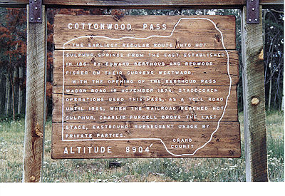
Cottonwood Pass
|
Cottonwood Pass |
Cottonwood Pass - Grand County - Colorado - 8,904 feet
(other name - Aspen Divide)
Gardiner Creek to west. Eightmile Creek to east.
CR-55 southeast of Hot Sulphur Springs
North side, gravel - road bike. South side, gravel, dirt, washboard - dual sport.
photos by Randy Bishop, 11/11/2016 (photos in order heading southeast from Hot Sulphur Springs)

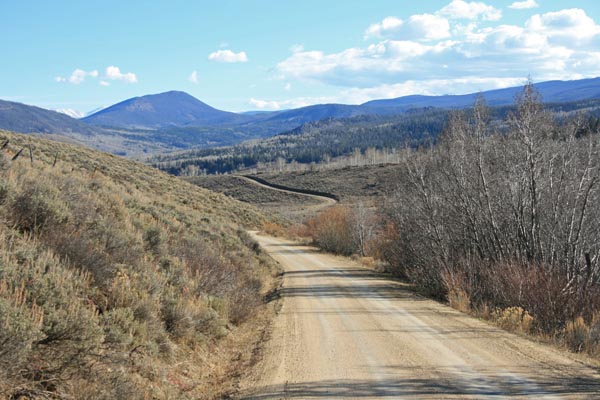
North of the summit. |
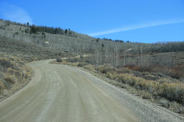
North of the summit. |

At the summit. |

At the summit. |
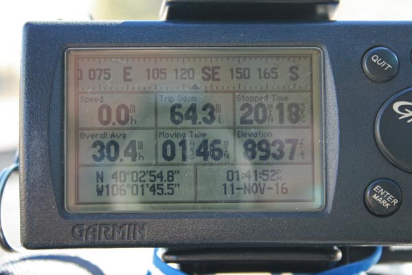
At the summit. |
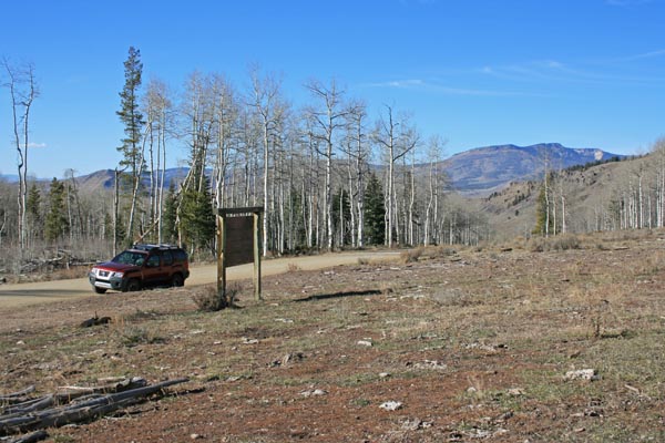
At the summit, looking north. |
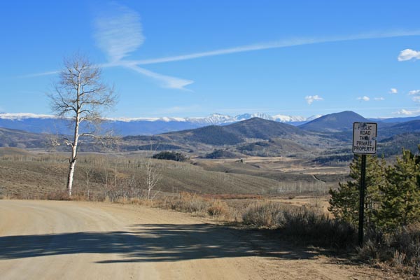
At the summit, looking southeast. |
South of the summit. |
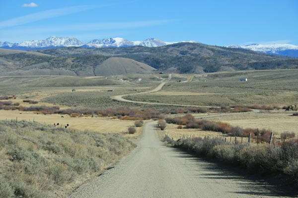
South of the summit. |
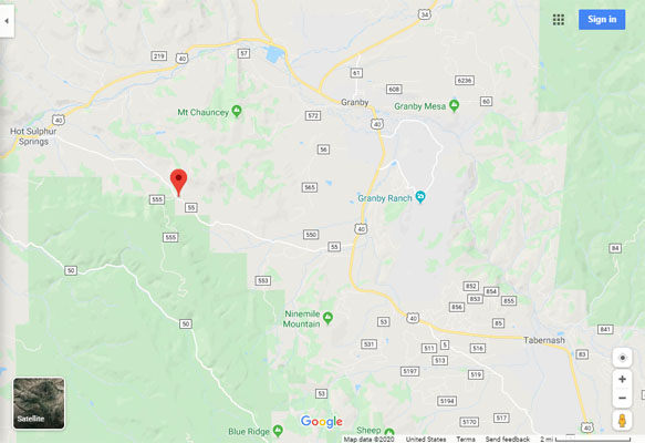
Google Maps |
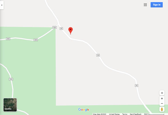
Google Maps |
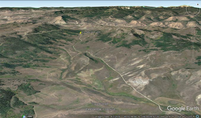
Google Earth, looking northwest. |
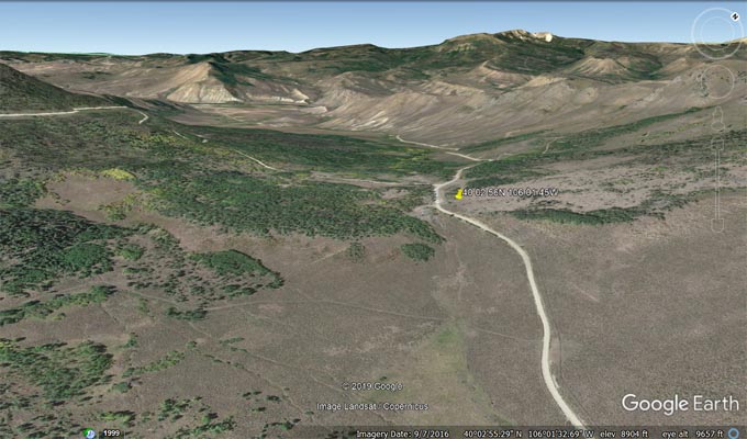
Google Earth, looking northwest. |
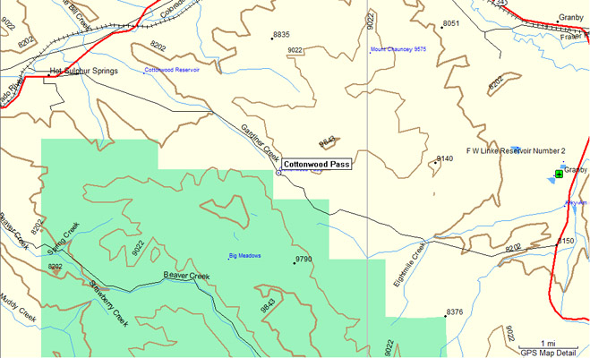
Garmin Mapsource |
#100 - photos by Randy Bishop, 7/28/2007
At the summmit. |

At the summmit. |

At the summmit, looking northwest. |
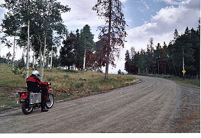
At the summmit, looking southeast. |
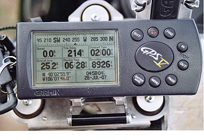
At the summmit. |
| Feature Name | ID | Class | County | State | Latitude | Longitude | Ele(ft) | Map | BGN Date | Entry Date |
| Cottonwood Pass | 173264 | Gap | Grand | CO | 400256N | 1060145W | 8917 | Hot Sulphur Springs | - | 13-OCT-1978 |