
Crooked Creek Pass
|
Crooked Creek Pass |
Crooked Creek Pass - Eagle County - Colorado - 9,995 feet
Brush Creek to north. Crooked Creek to east.
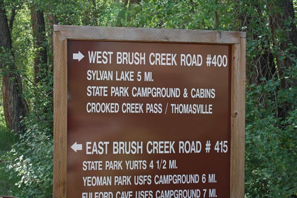
Brush Creek Road (FR-400) south of Eagle and Sylvan Lake
paved, treated gravel, gravel, sections of silt - dual sport
photos by Karst Postma, 5/26/2013
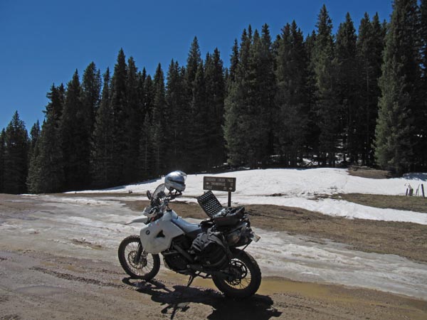
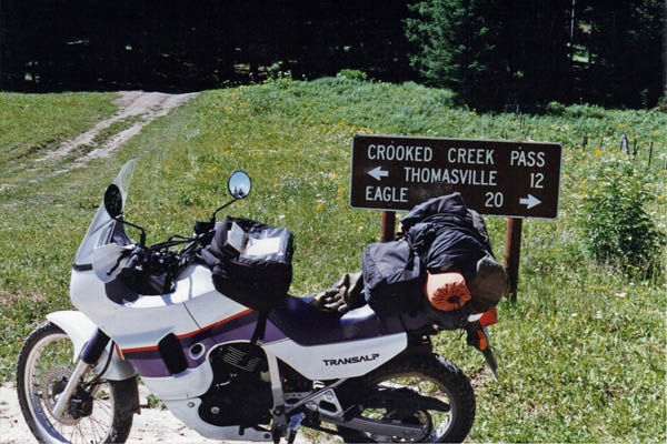
At the summit. |
At the summit. |
At the summit. |
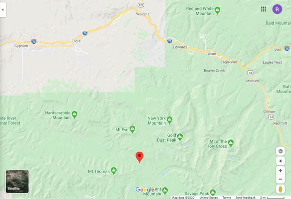
Google Maps |
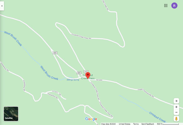
Google Maps |
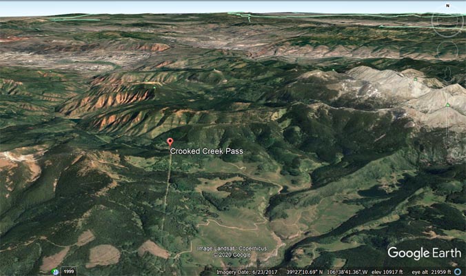
Google Earth |
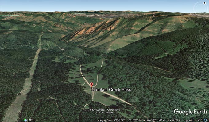
Google Earth, looking northwest. |
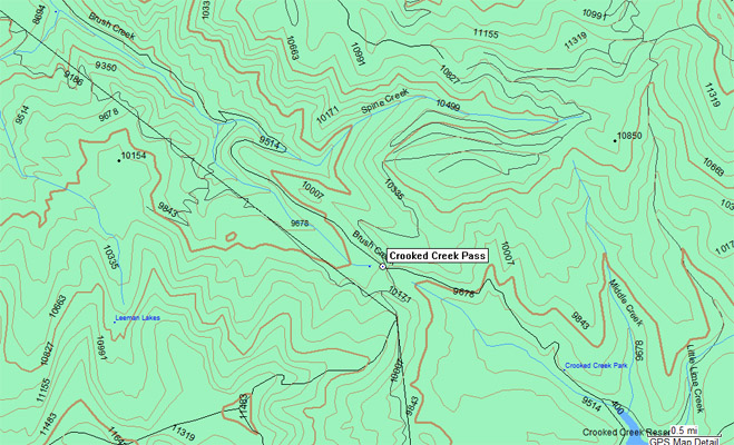
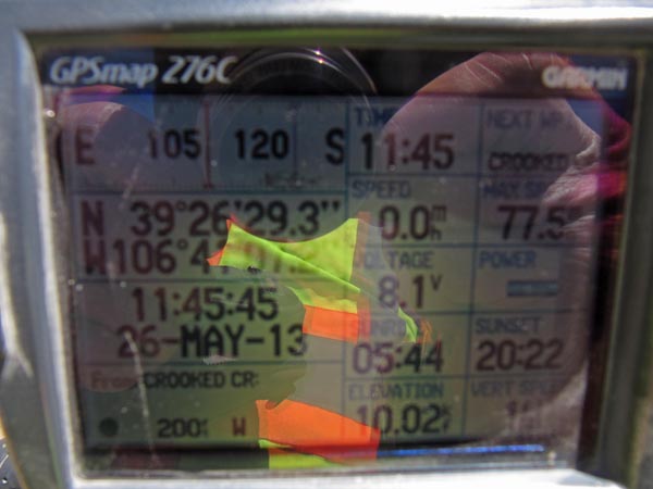
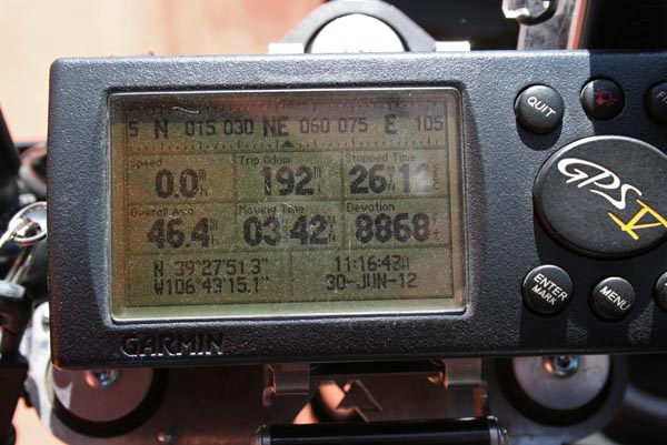
Garmin MapSource |
photos by Randy Bishop, 6/30/2012
In retrospect, looking at Google Earth, probably would have been past the silt in another 1/4 mile.
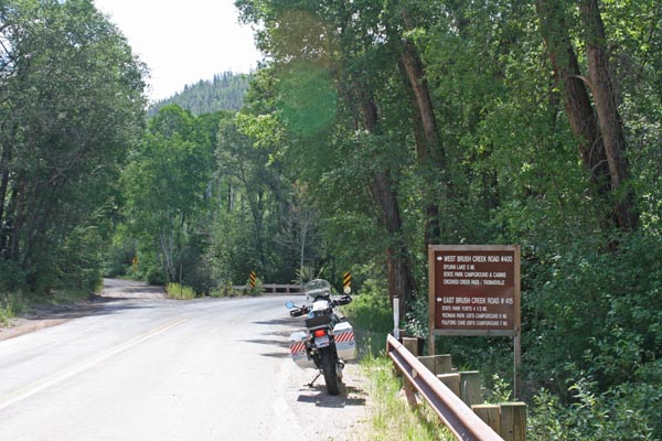
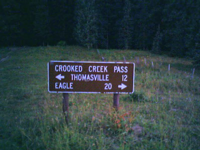
End of pavement, about 10.5 miles south of Eagle. |
About 10.5 miles south of Eagle. |
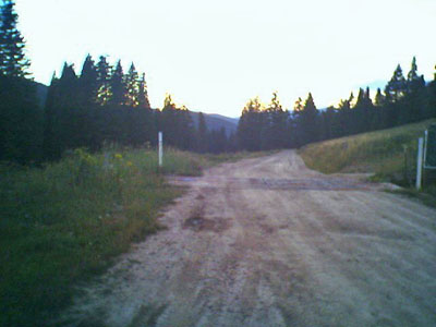
Southbound on Brush Creek Road in Sylvan Lake State Park. |

Southbound on Brush Creek Road in Sylvan Lake State Park. |

On south side of Sylvan Lake, 4 miles from summit. |
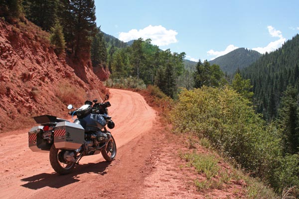
About 3.5 miles from summit. An uphill stretch of silt. |
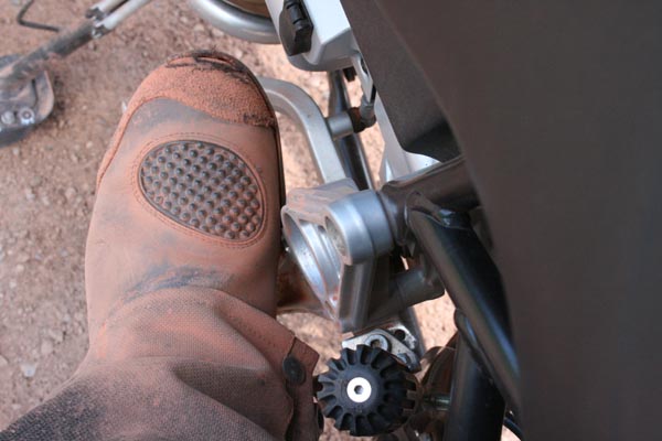
Silty boot. |
About 3.5 miles from summit, my turn-around point. |
photos from Deward Knapp, 8/30/2005, photo by Roamin Carloski
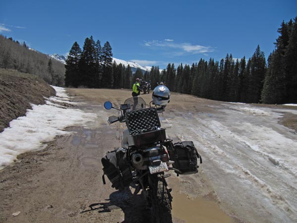
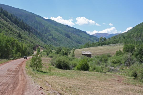
Along the route. |
At the summit. |
Along the route. |
| Feature Name | ID | Class | County | State | Latitude | Longitude | Ele(ft) | Map | BGN Date | Entry Date |
| Crooked Creek Pass | 179455 | Gap | Eagle | CO | 392629N | 1064107W | 10010 | Crooked Creek Pass | - | 13-OCT-1978 |