
Crow Hill
|
Crow Hill |
Crow Hill - Park County - Colorado - 8,500 feet
Deer Creek to north. North Fork of the South Platte River to south.
US-285 east of Bailey
pavement - road bike
photos by Karl Zuercher, 8/2/2015
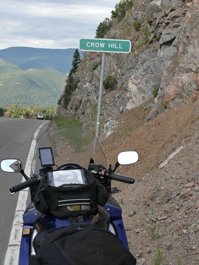
At the summit. |
At the summit. |
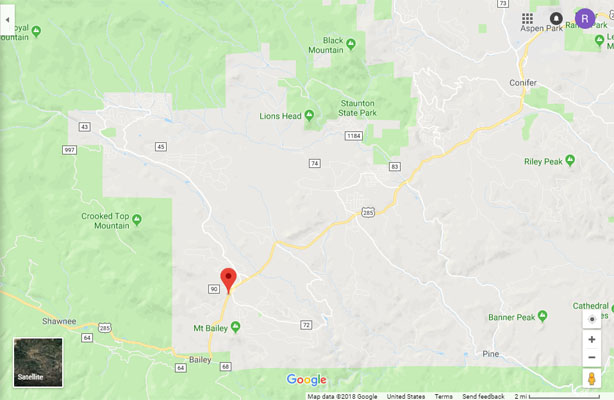
Google Maps |
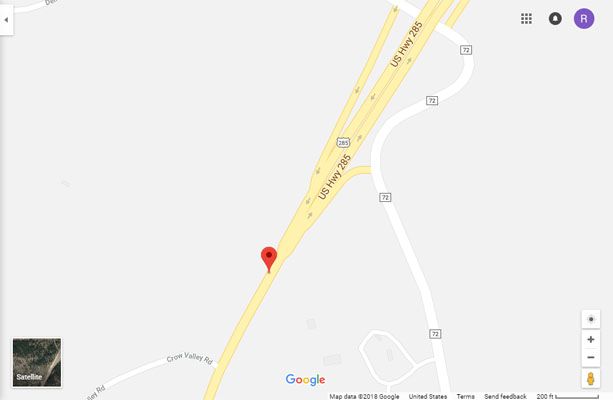
Google Maps |
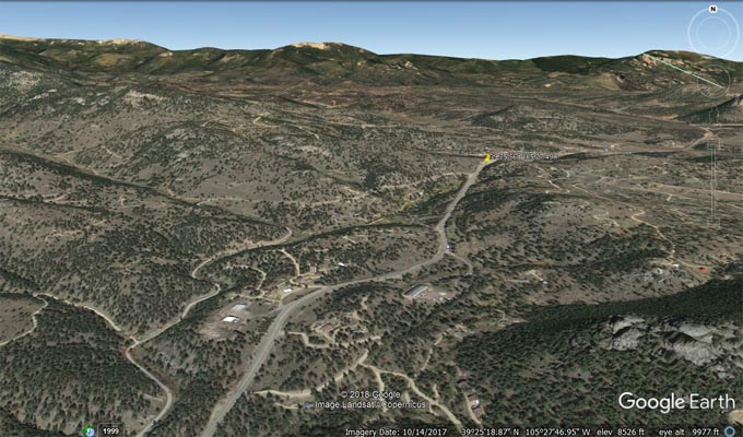
Google Earth, looking north. |
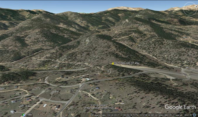
Google Earth, looking west. |
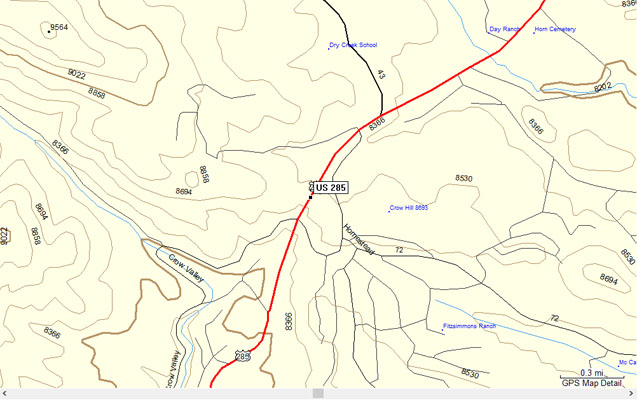
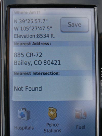
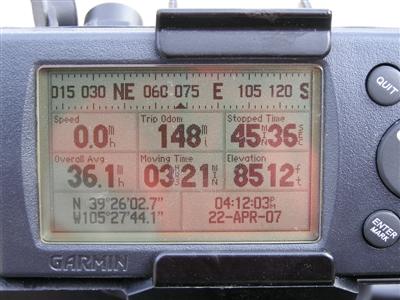
Garmin Mapsource |
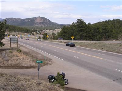
#1 - photos by Randy Bishop, 3/12/2005 and 4/22/2007

At the summit. |
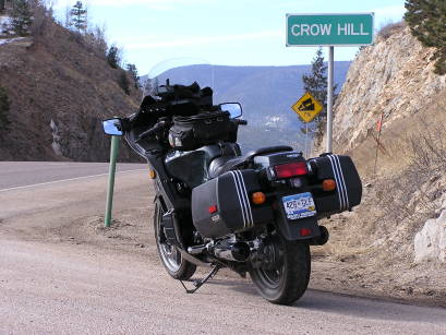
At the summit. |

At the summit, looking west. |
At the summit, looking east. |
At the summit. |
| Feature Name | ID | Class | County | State | Latitude | Longitude | Ele(ft) | Map | BGN Date | Entry Date |
| Crow Hill | 183289 | Summit | Park | CO | 392553N | 1052724W | 8688 | Bailey | - | 13-OCT-1978 |