
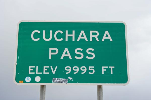
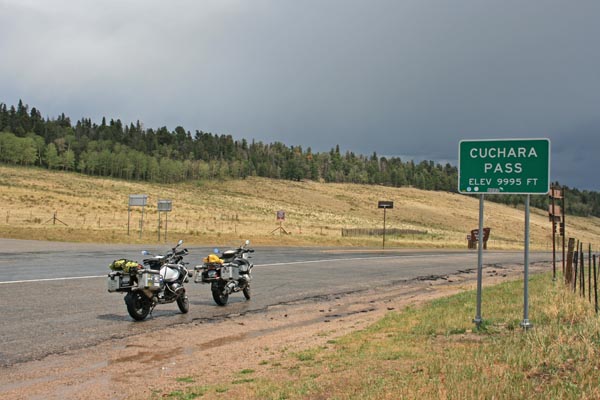
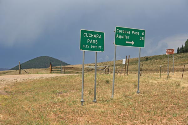
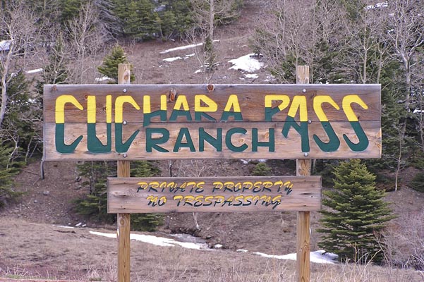
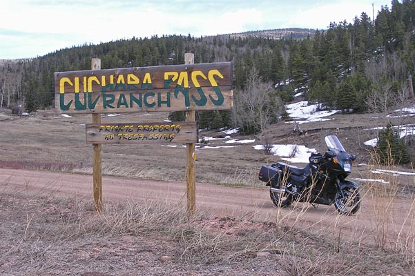
Cucharas Pass
|
Cucharas Pass |
Cucharas Pass - Huerfano / Las Animas Counties - Colorado - 9,941 feet
Cucharas River to north. Guajatoyah Creek to south.
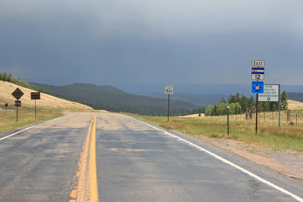
On CO-12 between La Veta and Stonewall.
pavement - road bike
photos by Randy Bishop, 7/21/2020
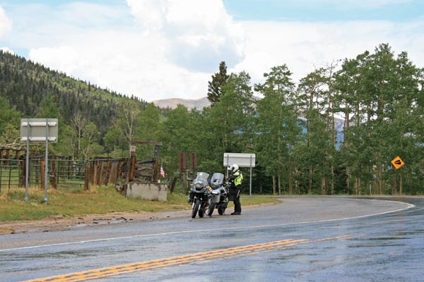
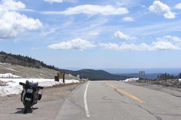
At the summit, looking south. |
At the summit, looking south. |
At the summit, looking south. |
At the summit, looking north. |
At the summit, looking north. |
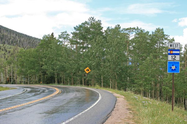
At the summit, looking north. |
At the summit. |
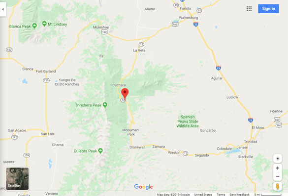
Google Maps |
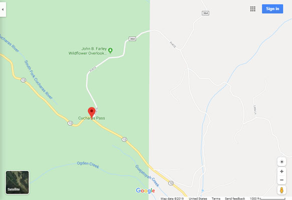
Google Maps |
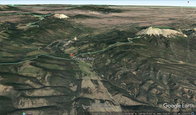
Google Earth |
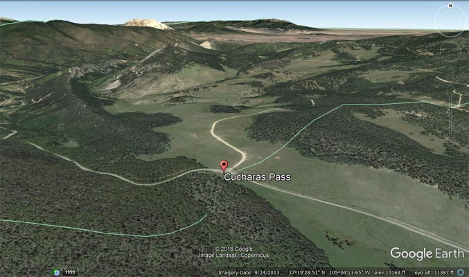
Google Earth |
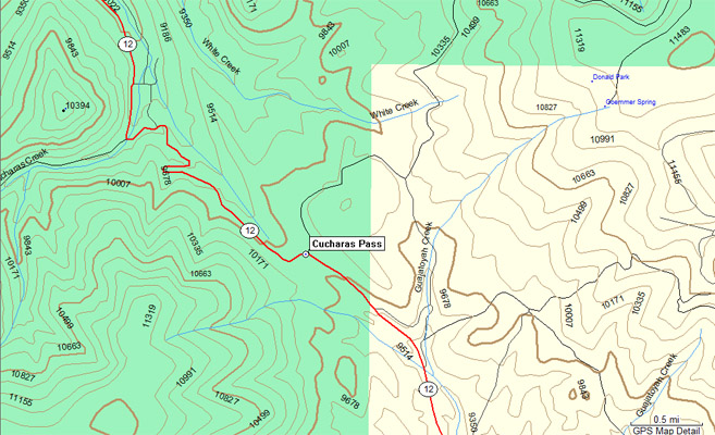
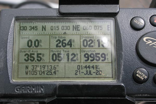
Garmin MapSource |
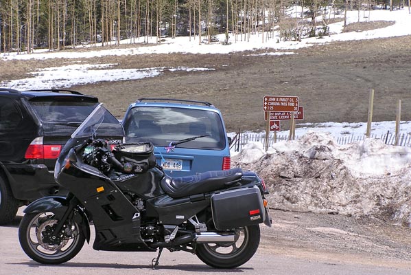
#12 - photos by Randy Bishop, 4/23/2005
At the summit, looking south. |
At the summit, looking east. |
South of the summit, looking east. |
South of the summit, looking east. |
| Feature Name | ID | Class | County | State | Latitude | Longitude | Ele(ft) | Map | BGN Date | Entry Date |
| Cucharas Pass | 192975 | Gap | Las Animas | CO | 371913N | 1050425W | 9938 | Cucharas Pass | - | 13-OCT-1978 |
| Feature Name | ID | Class | County | State | Latitude | Longitude | Ele(ft) | Map | BGN Date | Entry Date |
| Cucharas River | 192808 | Stream | Huerfano | CO | 375458N | 1043156W | 5121 | Cedarwood | 13-OCT-1978 | 26-JUL-2019 |
| Cucharas Creek | 192938 | Stream | Huerfano | CO | 372023N | 1050536W | 9078 | Cucharas Pass | - | 13-OCT-1978 |
| Guajatoyah Creek | 192970 | Stream | Las Animas | CO | 371204N | 1045836W | 8606 | Cucharas Pass | - | 13-OCT-1978 |