
Culbertson Pass
|
Culbertson Pass |
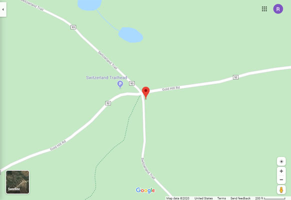
Culbertson Pass - Boulder County - Colorado - 8,562 feet
Lefthand Creek to north. Fourmile Creek to south.
Near Gold Hill
FR-93J (Switzerland Trail), original crossing by train - gravel, rock - dual sport
CR-52 (Gold Hill Road), follows ridge line - gravel - dual sport or road bike
photos by Randy Bishop, 6/24/2020

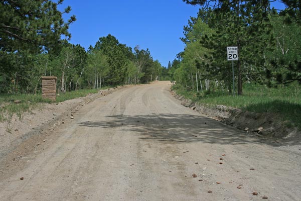
At the summit, looking north on Switzerland Trail. |
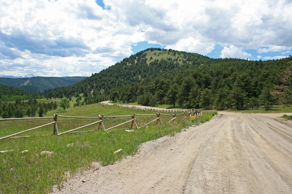
At the summit, looking east on Gold Hill Road. |
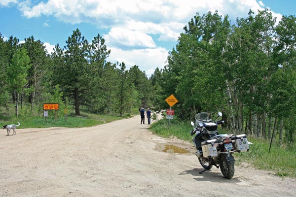
At the summit, looking south on Switzerland Trail. |
At the summit, looking west on Gold Hill Road. |

At the summit. |
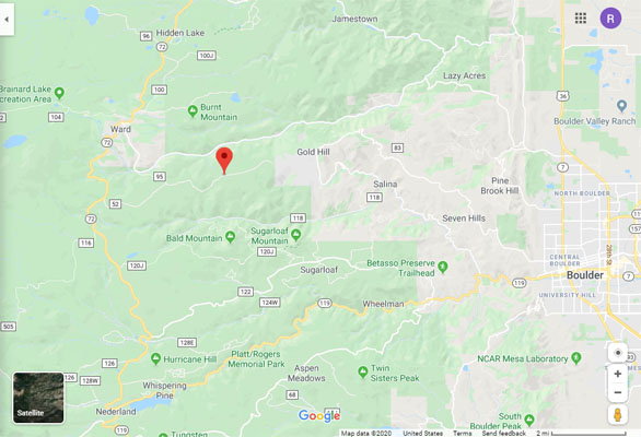
Google Maps |
Google Maps |
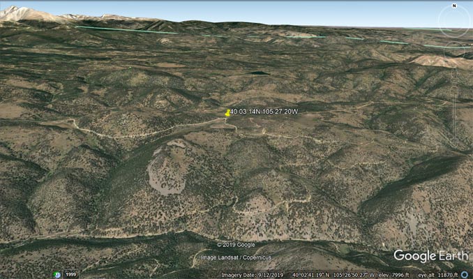
Google Earth |
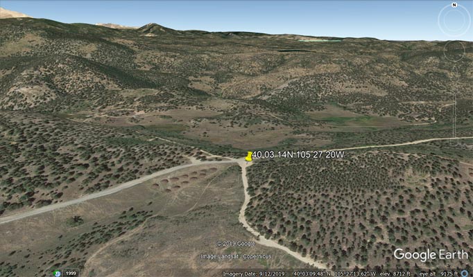
Google Earth |
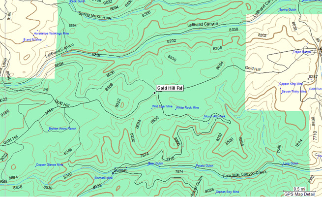
Garmin Mapsource |
#129 - photos by Randy Bishop, 5/17/2009
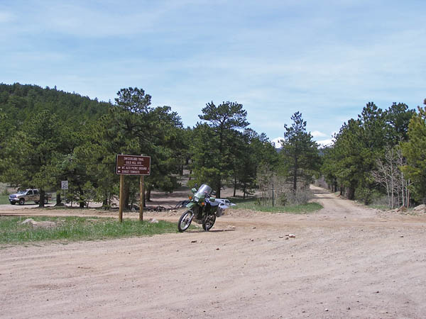
At the summit, looking north on Switzerland Trail. |
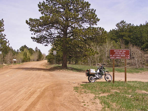
At the summit, looking east on Gold Hill Road. |
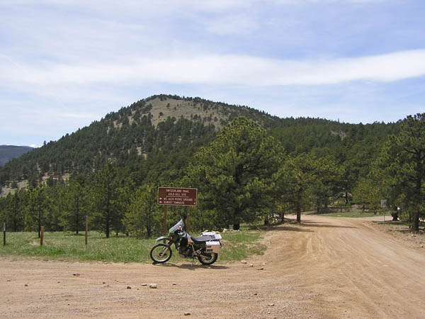
At the summit, looking south on Switzerland Trail. |
At the summit, looking west on Gold Hill Road. |

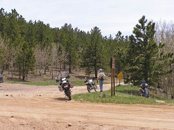
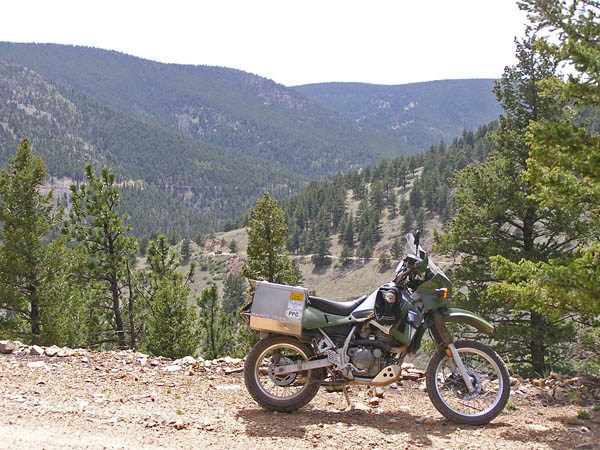
At the summit. |

Along Switzerland Trail south of the summit. |
Along Switzerland Trail south of the summit. |