
Cumbres Pass
|
Cumbres Pass |
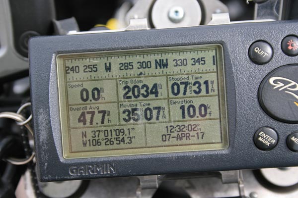
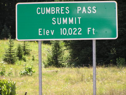
Cumbres Pass - Conejos County - Colorado - 10,022 feet
Wolf Creek to west. Cumbres Creek to east.
CO-17 west of Antonito
pavement - road bike
Cumbres & Toltec Scenic Railroad
photos by Randy Bishop, 4/7/2017
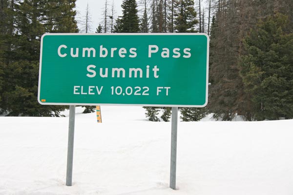
At the summit. |

At the summit. |
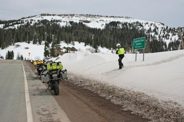
At the summit, looking northeast. |

At the summit, looking southwest. |
At the summit. |
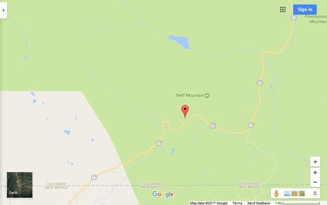
Google Maps |

Google Maps |
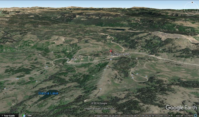
Google Earth |
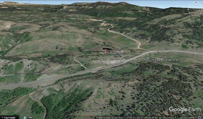
Google Earth |
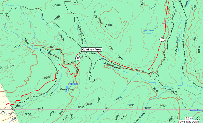
Garmin MapSource |
#44 - photos by Randy Bishop, 7/15/2006
At the summit. |
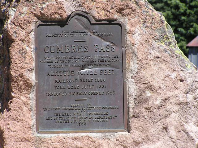
One of the 1929-vintage signs at the summit. |
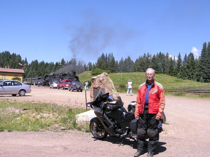
At the summit. |

At the summit with the Cumbres & Toltec narrow guage train. |
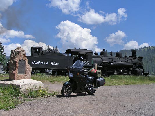
At the summit with the Cumbres & Toltec narrow guage train. |
The 1929-vintage
History Colorado (State Historical Society of Colorado) marker reads:
This memorial is the property of the State of Colorado. Cumbres Pass. Near Continental Divide between the
waters of the Rio Grande and the San Juan. "Cumbres" is Spanish for "summits". Altitude 10,022 feet.
Railroad built 1880. Toll road built 1881. Improved highway opened 1923. Erected by the State Historical
Society of Colorado from the Mrs. J. N. Hall Foundation and by the State Highway Department and the
U.S. Forest Service, 1929.
| Feature Name | ID | Class | County | State | Latitude | Longitude | Ele(ft) | Map | BGN Date | Entry Date |
| Cumbres Pass | 190848 | Gap | Conejos | CO | 370114N | 1062700W | 10020 | Cumbres | - | 13-OCT-1978 |