
Currant Creek Pass
|
Currant Creek Pass |
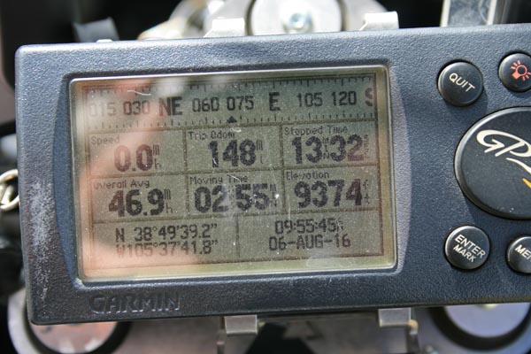
Currant Creek Pass - Park County - Colorado - 9,470 feet
Threemile Creek to north. Currant Creek to south.
(other name - Thirty-Nine Mile)
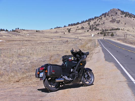
CO-9 between Hartsel and Canon City.
pavement - road bike
photos by Randy Bishop, 9/16/2017
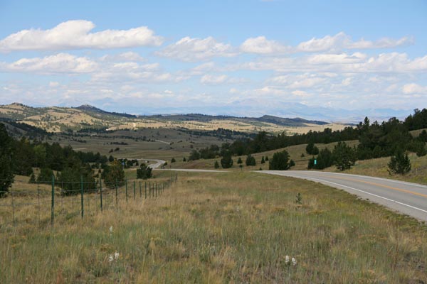
At the summit, looking north. |
At the summit, looking south. |
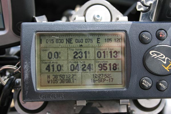
At the summit. |
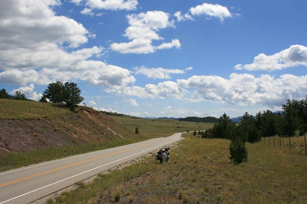
0.7 mile south of summit. |
0.7 mile south of summit. |
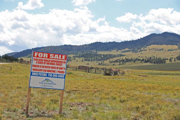
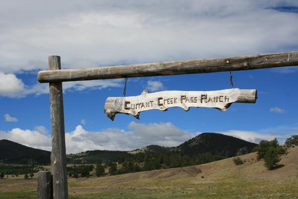
1540 acres of scenic land for $3.9M. |
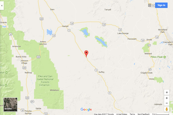
Google Maps |
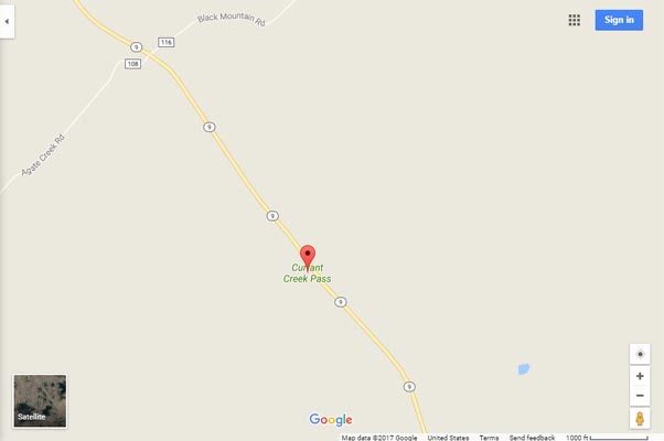
Google Maps |
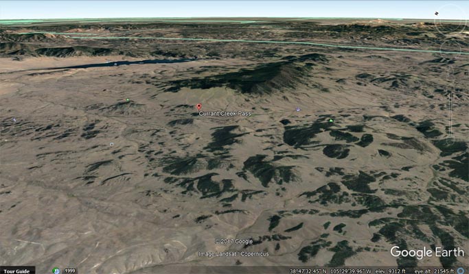
Google Earth, looking east. |
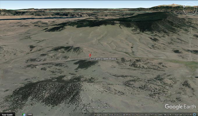
Google Earth, looking east. |
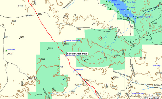
Garmin MapSource |
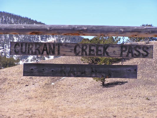
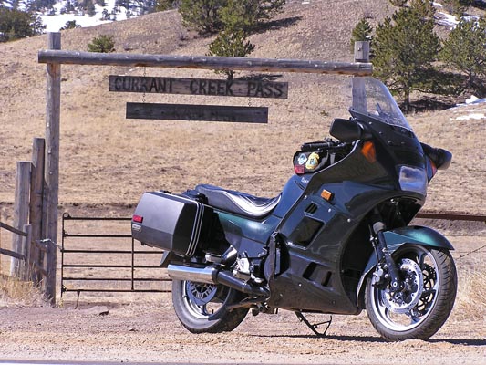
photos by Randy Bishop, 8/6/2016
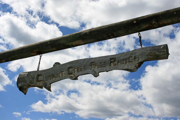
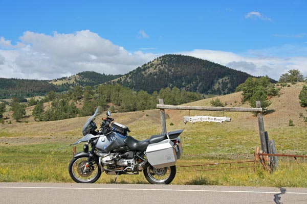
New sign, 0.7 mile south of summit. |
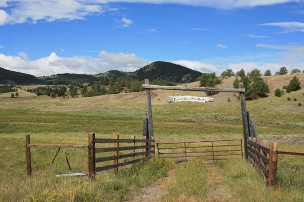
0.7 mile south of summit. |
0.7 mile south of summit. |
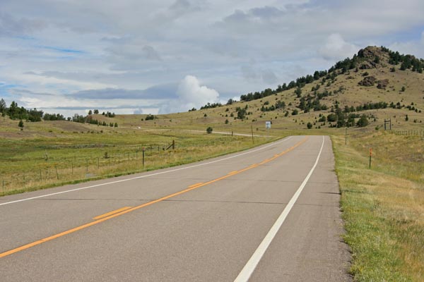
0.7 mile south of summit, looking north. |
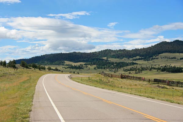
0.7 mile south of summit, looking south. |
0.7 mile south of summit. |
#5 - photos by Randy Bishop, 3/12/2005
0.7 mile south of summit. |
0.7 mile south of summit. |
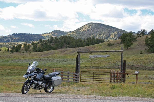
Looking north toward the summit. |
| Feature Name | ID | Class | County | State | Latitude | Longitude | Ele(ft) | Map | BGN Date | Entry Date |
| Currant Creek Pass | 191383 | Gap | Park | CO | 385013N | 1053810W | 9485 | Dicks Peak | - | 13-OCT-1978 |