
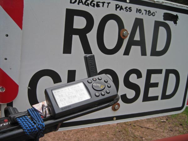
Daggett Pass
|
Daggett Pass |
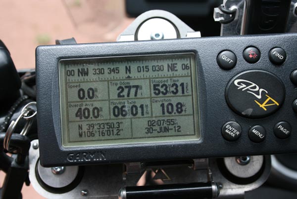
Daggett Pass - Eagle County - Colorado - 10,780 feet
Timber Creek to north. Turkey Creek to south.
About 2 miles northwest of Shrine Pass, off FR-712 (Lime Creek Road) on FR-728 (Timber Creek Road).
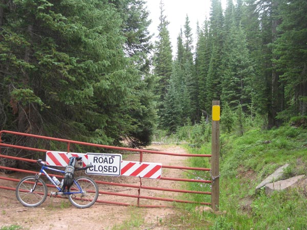
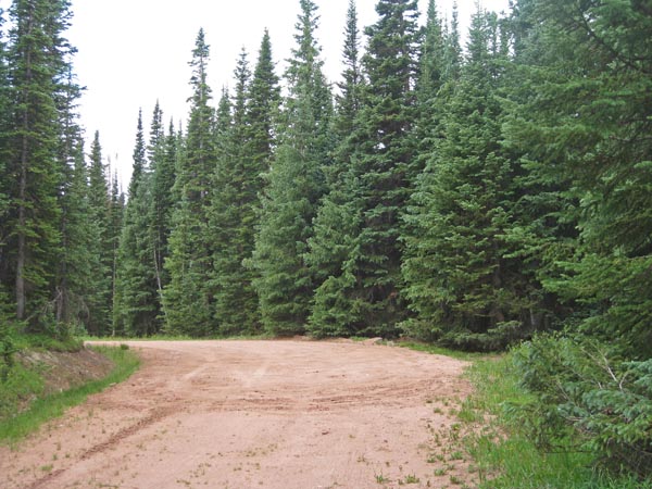
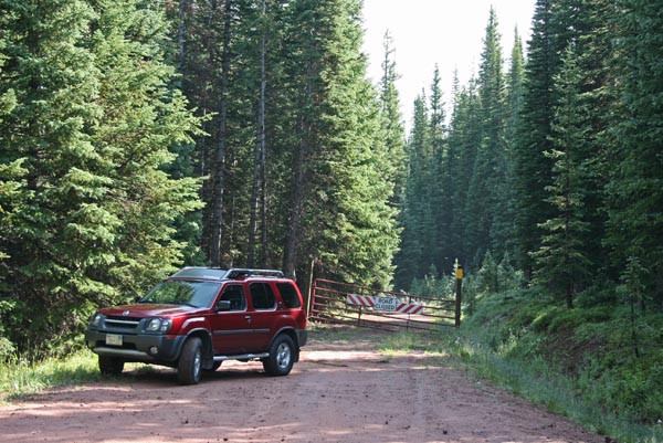
On south side, gravel - dual sport
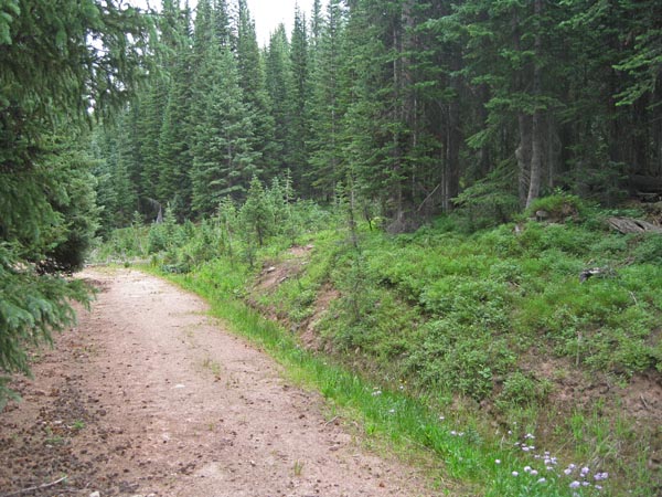
On north side, hiking trail.
#142 - photos by Randy Bishop, 6/30/2012

At the summit, looking north. |
At the summit. |
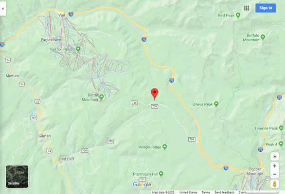
Google Maps |
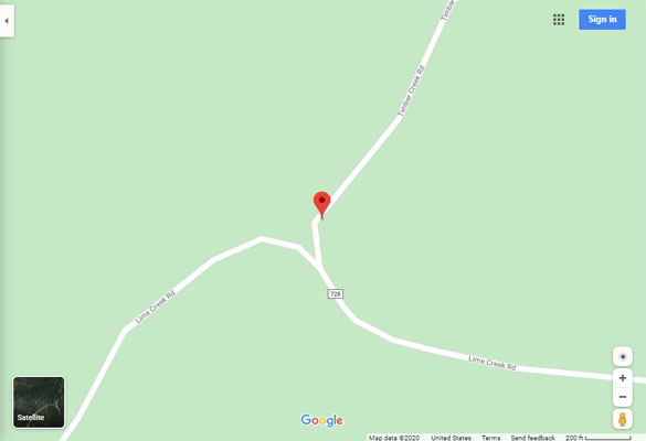
Google Maps |
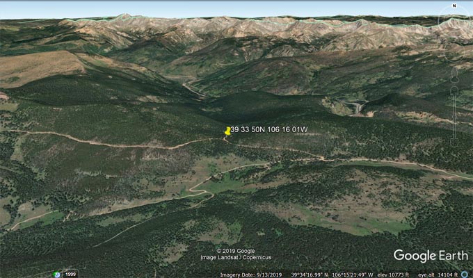
Google Earth |
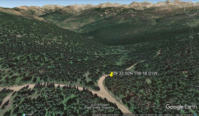
Google Earth |
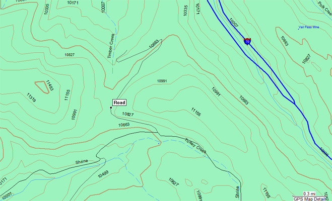
Garmin Mapsource |
photos by Randy Bishop, 7/14-15/2012
At the summit, looking north. |
At the summit, looking south. |
At the summit. |

At the summit. |
At the summit. |
1/2 mile north of summit, looking northeast. |
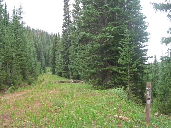
1/2 mile north of summit, looking south. |

1/2 mile north of summit. |