
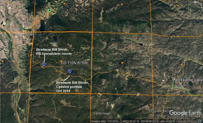
Deadman Hill Divide
|
Deadman Hill Divide |
Deadman Hill Divide - Larimer County - Colorado - 10,269 feet
Deadman Creek to west. North Fork of the Cache la Poudre River to east.
West of Red Feather Lakes on CR-162.
Well-maintained gravel to the east. Well-maintained gravel and dirt to west, could be difficult if wet.
gravel - dual sport
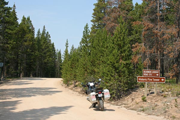
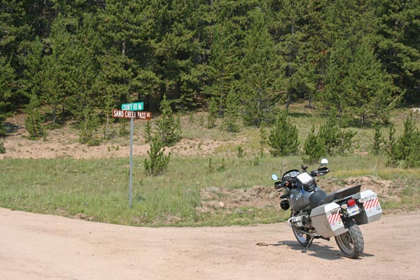
photos by Scott Westfall, 10/1/2018
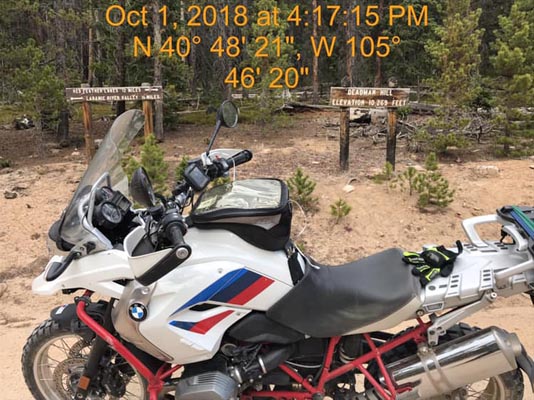
At the summmit. |
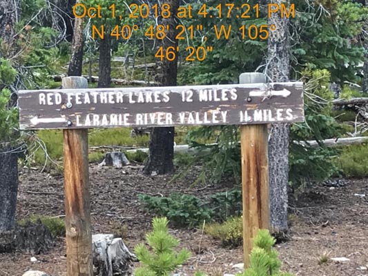
At the summmit. |
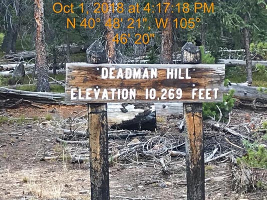
At the summmit. |
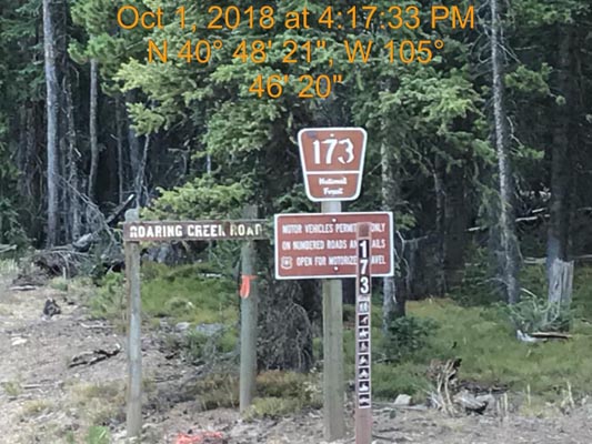
At the summmit. |
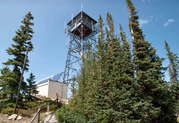
Near the summmit. |
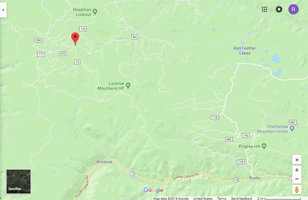
Google Maps |
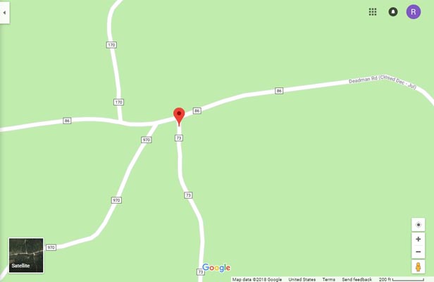
Google Maps |
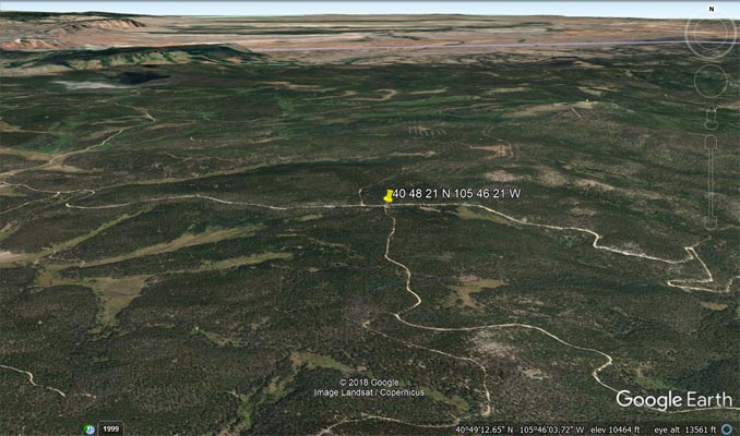
Google Earth |
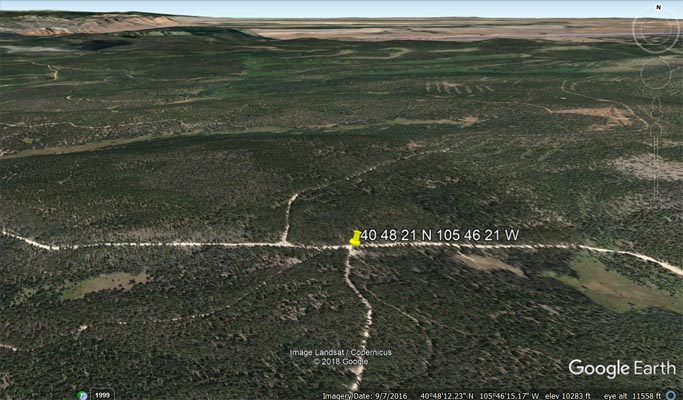
Google Earth |
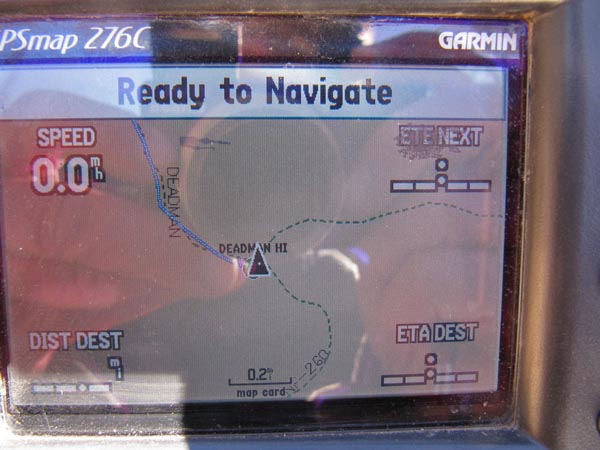
Garmin MapSource |
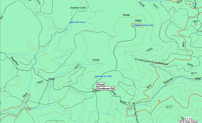
Google Earth with topo |
Google Earth with USGS quad map names |
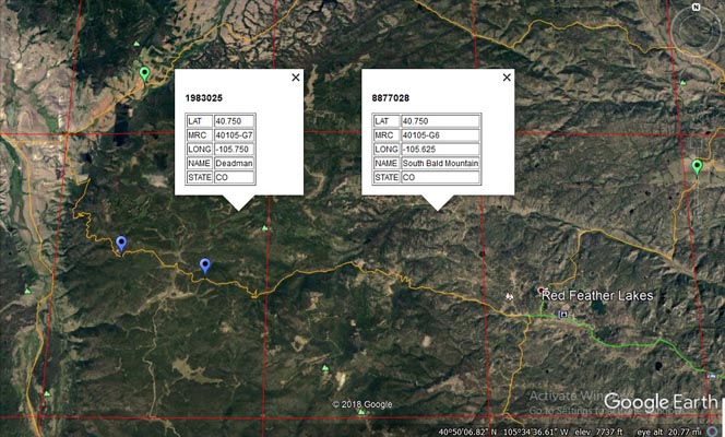
Google Maps with PLSS quads |
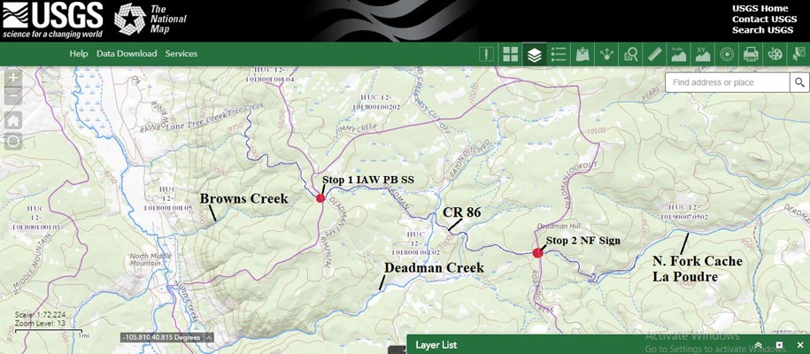
USGS TMM with watersheds |
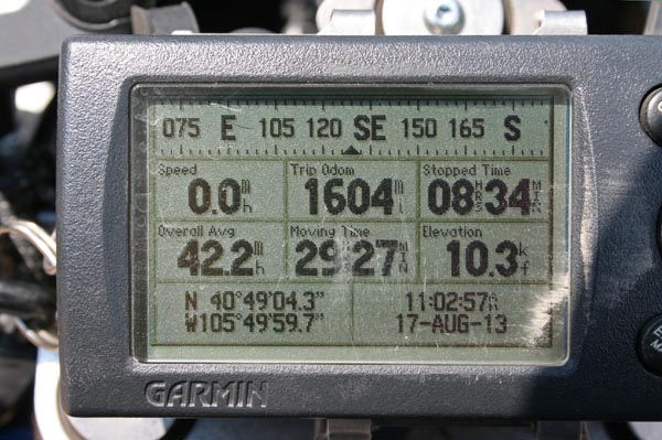
#150 - photos by Randy Bishop, 8/17/2013
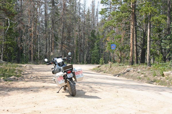
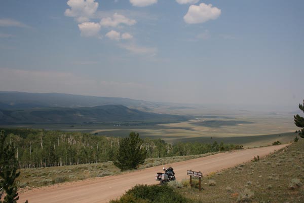
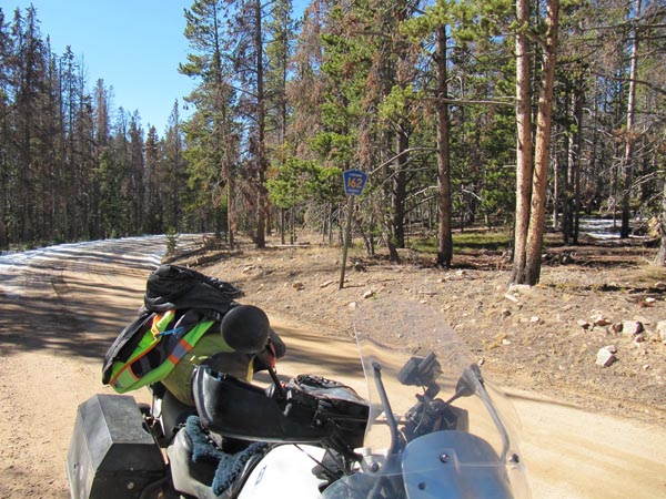
East of summit on CR-162. |
East of summit on CR-162. |
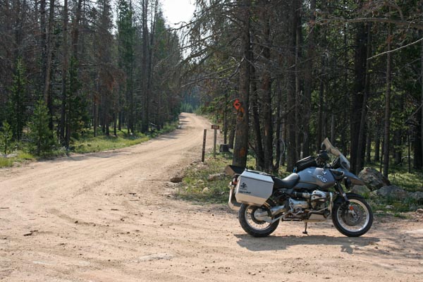
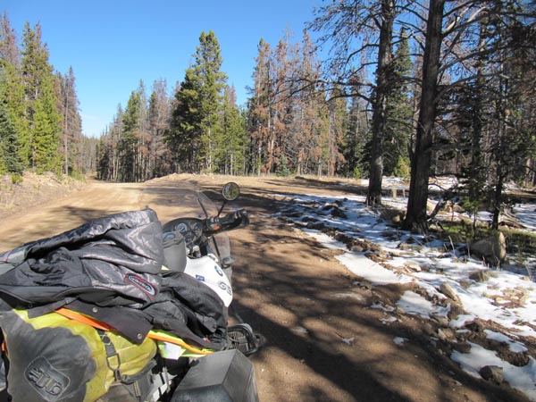
West of the summit, looking west on CR-162. |
West of the summit, looking south on FR-260. |

West of the summit, looking east on CR-162. |
West of the summit. |
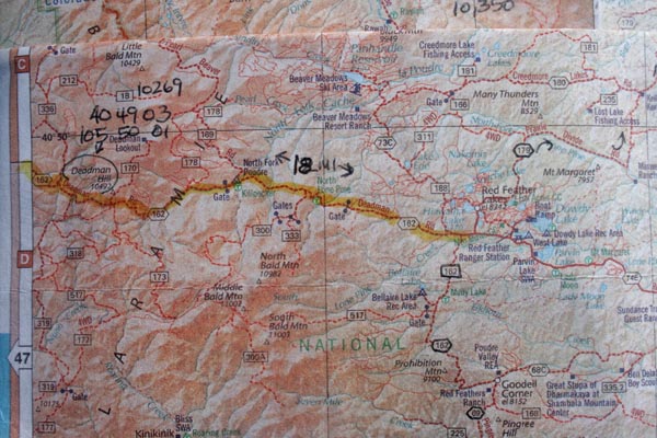
A map. |
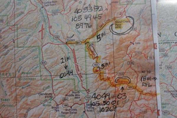
A map. |
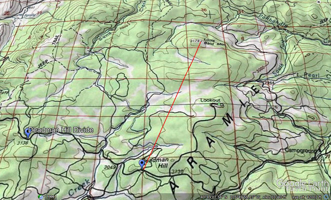
My route to Deadman Hill and Sand Creek. |
NW of the summit, looking NW. |
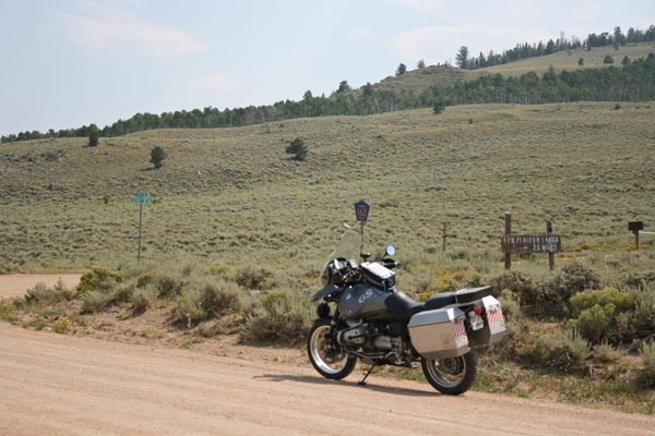
On CR-80C NW of the summit, CR-162 to right. |
photos by Karst Postma, 10/21/2012
West of the summit, looking east. |
West of the summit, looking west. |

West of the summit. |
West of the summit. |
| Feature Name | ID | Class | County | State | Latitude | Longitude | Ele(ft) | Map | BGN Date | Entry Date |
| Deadman Hill | 170258 | Summit | Larimer | CO | 404804N | 1054622W | 10485 | Deadman | - | 13-OCT-1978 |
| Deadman Creek | 170260 | Stream | Larimer | CO | 404702N | 1055201W | 8382 | Deadman | - | 13-OCT-1978 |
| Deadman Picnic Area | 197755 | Locale | Larimer | CO | 404946N | 1054514W | 10646 | Deadman | - | 01-SEP-1992 |