
Devils Gap
|
Devils Gap |
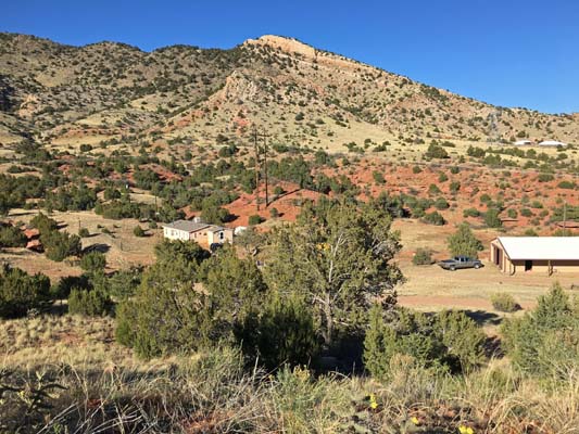
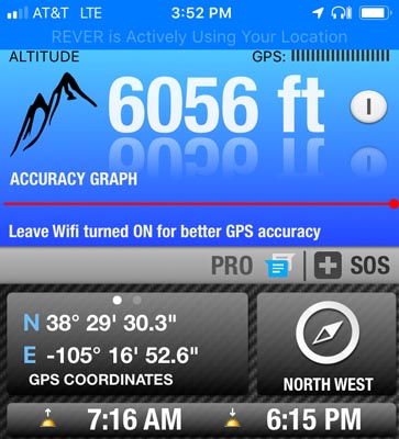
Devils Gap - Fremont County - Colorado - 6,125 feet
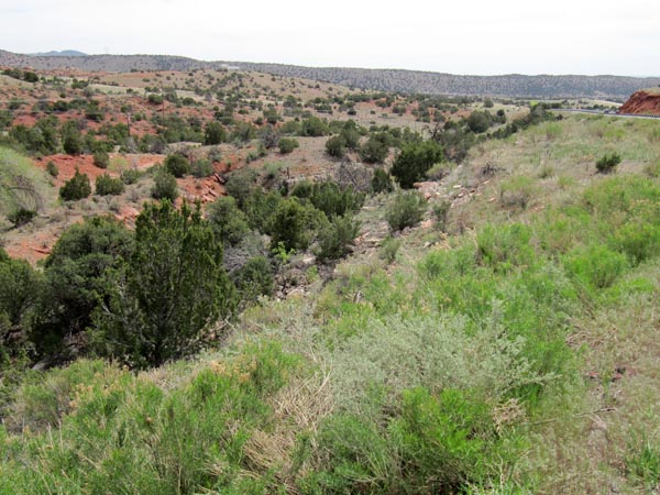
An intermittent stream flows through the gap.
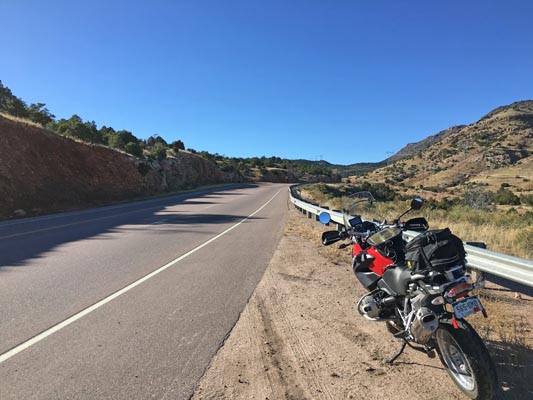
West of Canon City on US-50.
pavement - road bike
#166 - photos by Randy Bishop, 5/19/2020
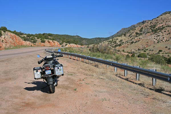
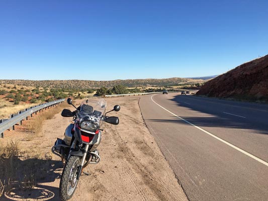
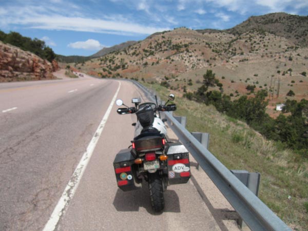
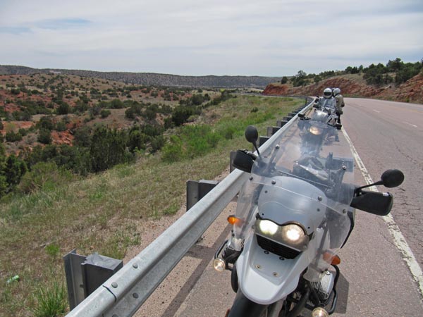
In the gap looking northwest. |
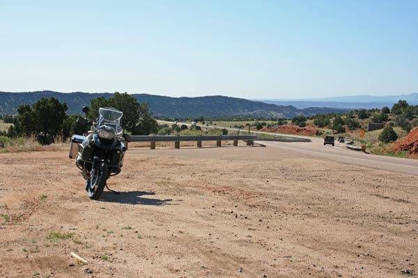
In the gap looking southeast. |
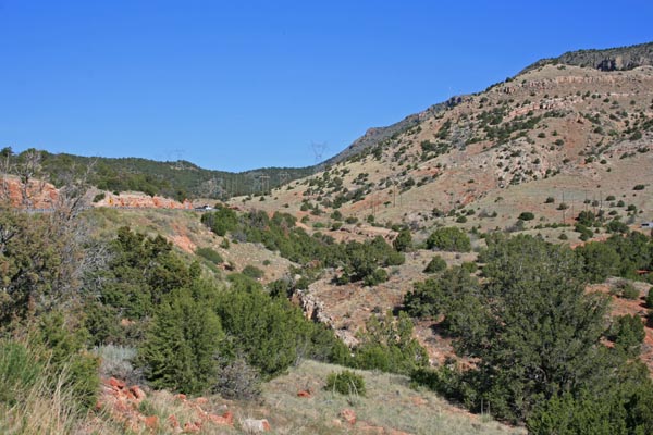
In the gap looking northwest. |
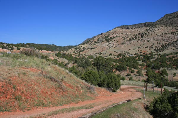
In the gap looking northeast. |
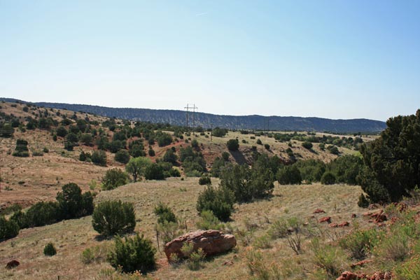
In the gap looking southeast. |
In the gap. |
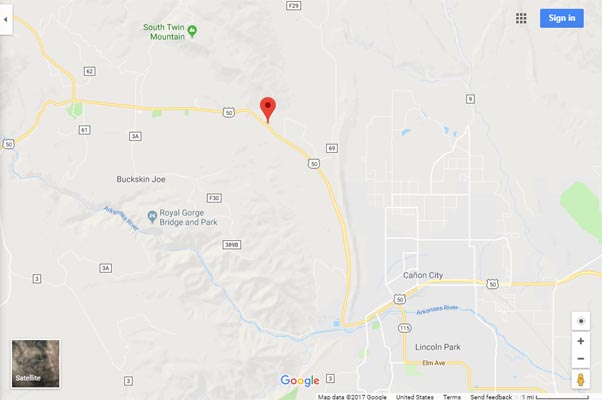
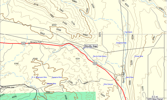
Google Maps |
Google Maps |
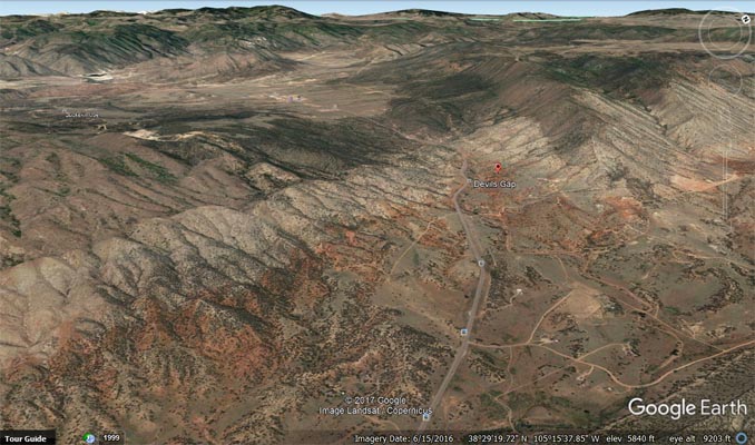
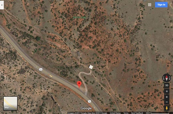
Google Earth, looking west. |

Google Earth, looking west. |
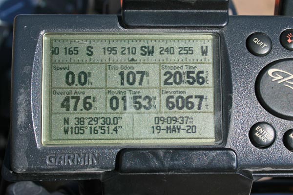
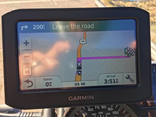
Garmin Mapsource |

Devils Gap, route of the Florence, Canon City and Royal Gorge Railroad. |
photos by John Meyer, 10/21/2018
In the gap looking northwest. |
In the gap looking northeast. |
In the gap looking southeast. |
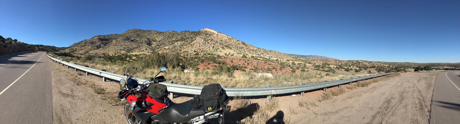
In the gap looking northeast. |
In the gap looking southwest. |
In the gap. |
In the gap. |
photos by Karst Postma, 4/28/2012
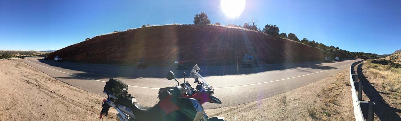
In the gap looking northwest. |
In the gap looking southeast. |
In the gap, looking southeast. |

In the gap. |

In the gap. |
| Feature Name | ID | Class | County | State | Latitude | Longitude | Ele(ft) | Map | BGN Date | Entry Date |
| Devils Gap | 191850 | Gap | Fremont | CO | 382938N | 1051652W | 6053 | Royal Gorge | - | 13-OCT-1978 |