
Dick Pass
|
Dick Pass |
Dick Pass - Garfield County - Colorado - 8,146 feet
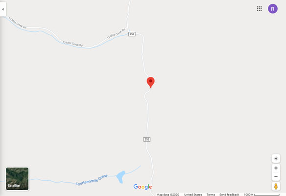
Thirteenmile Creek to north. Fourteenmile Creek to south.
From Meeker via Golf Course Road and Flag Creek Road (CR-13), about 17 miles.
pavement, then gravel, then dirt - dual sport, or dirt bike if wet
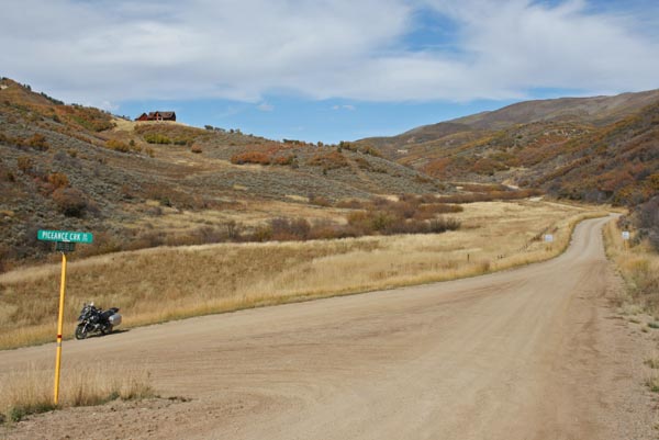
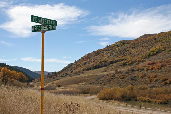
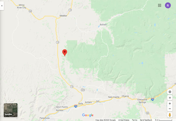
From CO-13 via Piceance Creek Road (CR-253) and West Rifle Creek Road (CR-252), about 7 miles.
gravel with a few stretches of dirt - dual sport
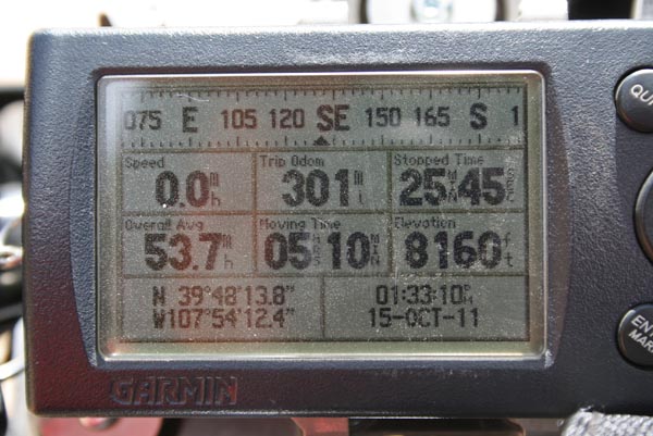
#136 - photos by Randy Bishop, 10/15/2011
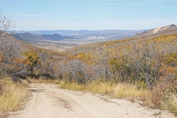
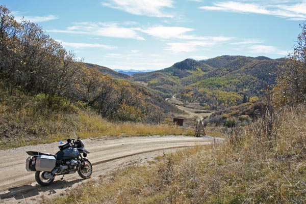
At the false summit, looking north. |

At the false summit, looking north. |
At the false summit. |
At the false summit. |

At the false summit, looking south. |

At the false summit, looking south toward the real summit. |
At the summit, looking north. |
At the summit. |
At the summit, looking south. |

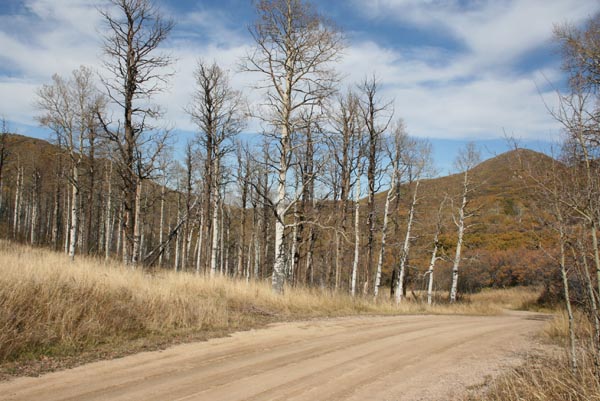
South of the summit. |
South of the summit, looking north. |
South of the summit, looking west. |
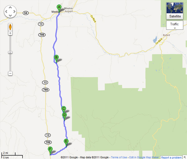
C = false summit D = summit |
Google Maps |
Google Maps |
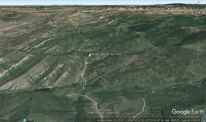
Google Earth |
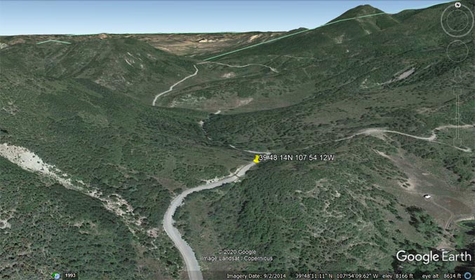
Google Earth |
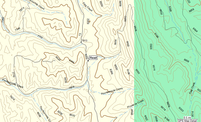
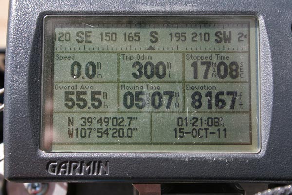
Garmin MapSource |
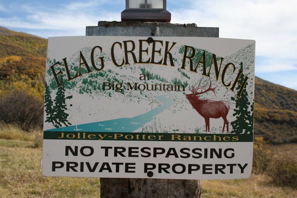
photo by Roamin Carloski

At the summit, looking south. |