
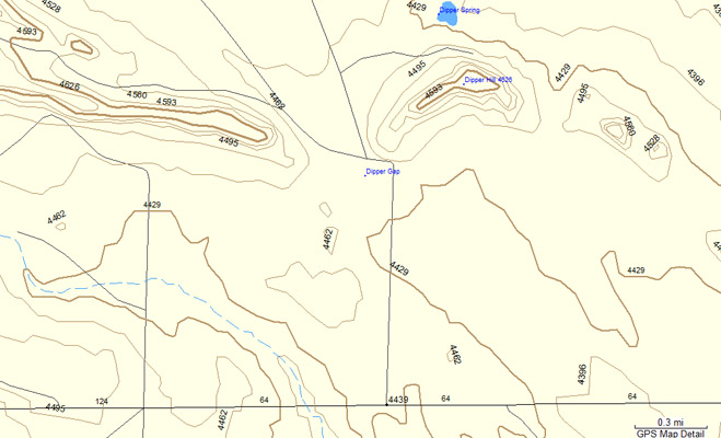
Dipper Gap
|
Dipper Gap |
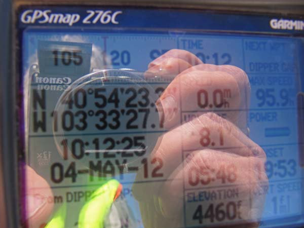
Dipper Gap - Logan County - Colorado - 4,460 feet
An intermittent stream south of the gap runs east-west.
Northwest of Sterling via county roads.
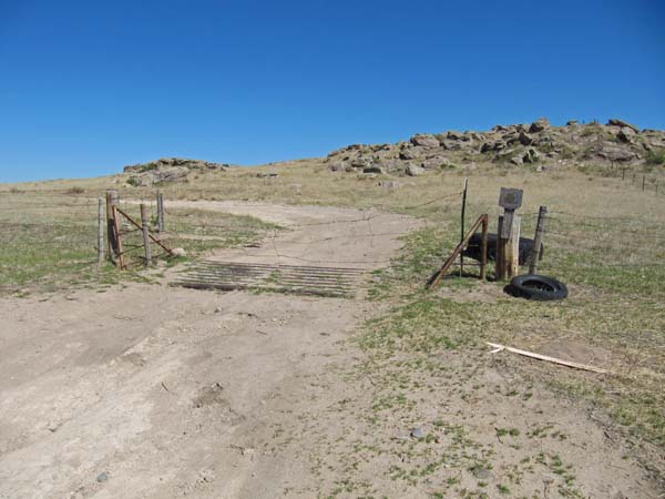
Closed, on private property.
photo by Barrett Palumbo, 1/5/2019

Near the gap. |
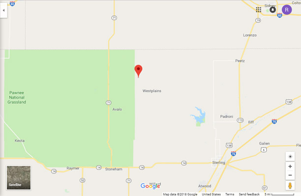
Google Maps |
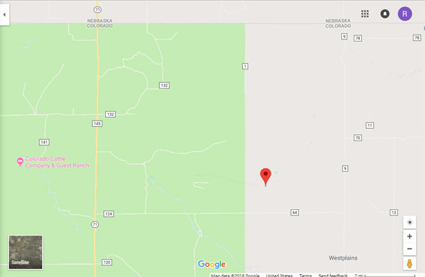
Google Maps |
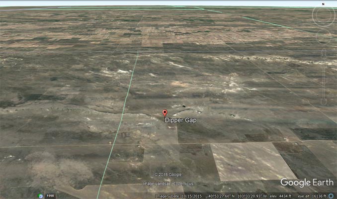
Google Earth |
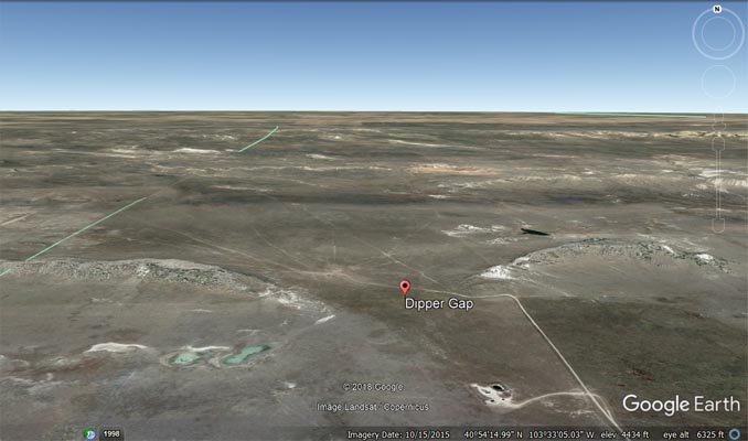
Google Earth |
Garmin MapSource |
Note from Barrett: I went today. Even though it’s county road. No trespassing signs are posted, and you could
say the road is fenced off. With no real easy way to open the fence.
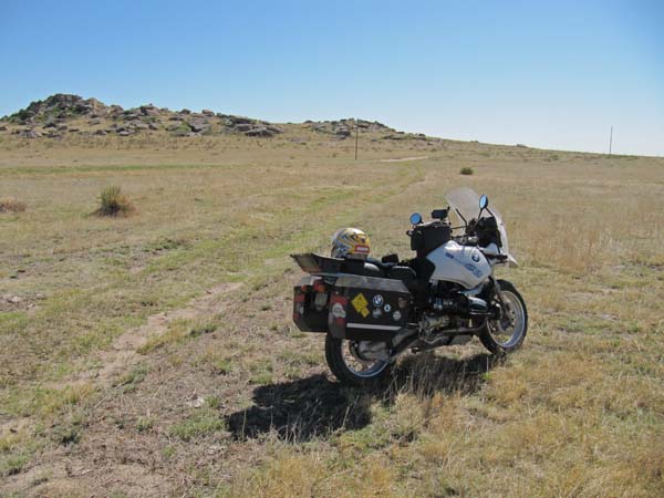
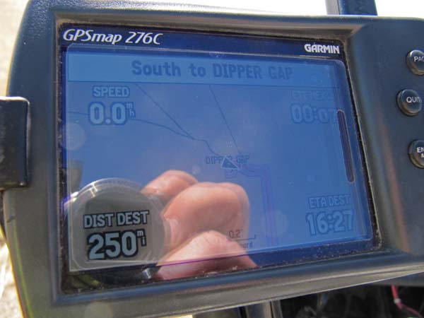
photos by Karst Postma, 5/4/2012
At the gap. |
At the gap. |
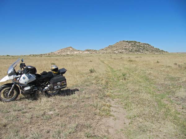
At the gap. |
At the gap. |
At the gap. |
Notes from Karst: Dipper Gap. Mostly easy to get to. CR-64 is hard packed county road. Going north from CR-64, it is potholed, but doable
even a street bike with a little bit of skill. Coming from the south and Ľ mile before Dipper Gap, where the road turns west, there is
a gate. It looks like it is not used much. No houses in sight, so nobody to give you a hard time. I went back the same way I came in, so
I do not know what kind of access there is north of the gap. Dipper Gap itself is in a grassy field, a 100 yards or so from the road.
| Feature Name | ID | Class | County | State | Latitude | Longitude | Ele(ft) | Map | BGN Date | Entry Date |
| Dipper Gap | 171035 | Gap | Logan | CO | 405421N | 1033328W | 4445 | Dipper Spring | - | 13-OCT-1978 |