
Dix Saddle
|
Dix Saddle |
Dix Saddle - Jefferson County - Colorado - 7,470 feet
Bear Creek to north. Turkey Creek to south.
CR-120 in Indian Hills south of Kittredge
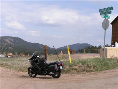
pavement - road bike
photos by Randy Bishop, 8/1/2015
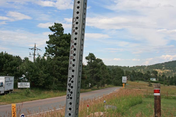
At the summit. |
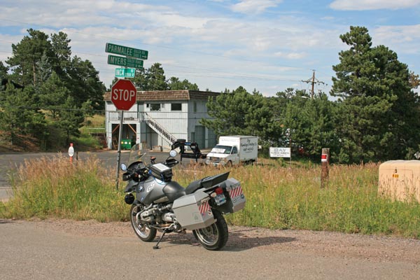
At the summit. |
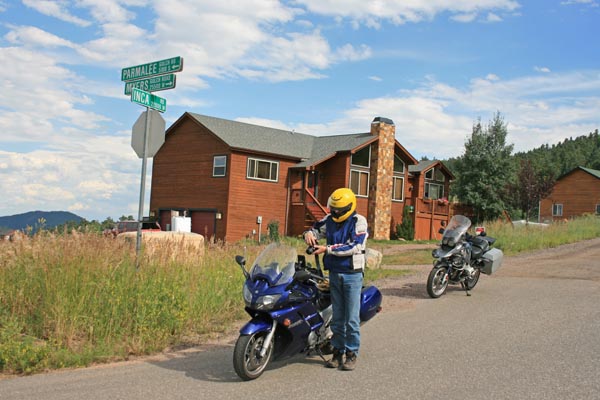
At the summit. |
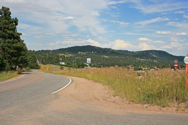
At the summit, looking east. |
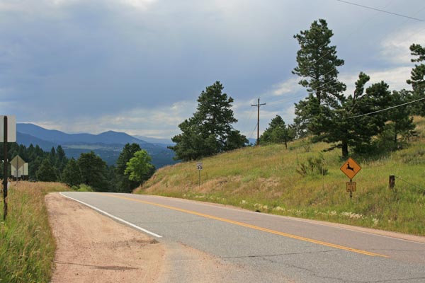
At the summit, looking north. |
At the summit. |
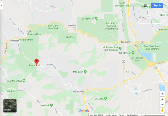
Google Maps |
Google Maps |
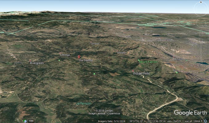
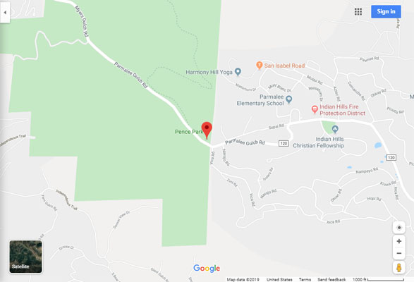
Google Earth |
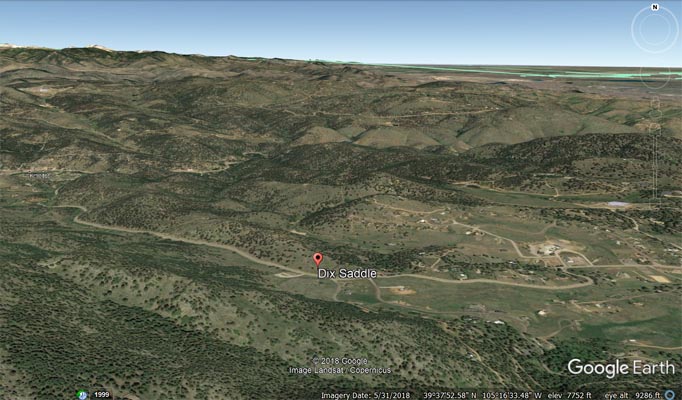
Google Earth |
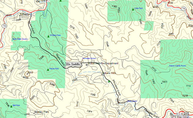
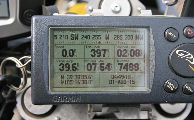
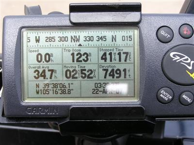
Garmin MapSource |
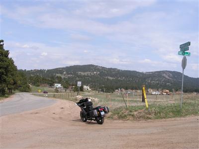
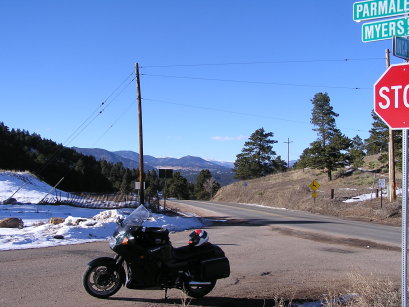
photos by Randy Bishop, 04/22/2007

At the summit. |
At the summit, looking south. |
At the summit, looking south. |
At the summit. |
#75 - photos by Randy Bishop, 12/10/2006

At the summit. |

At the summit, looking south. |
At the summit, looking north. |
| Feature Name | ID | Class | County | State | Latitude | Longitude | Ele(ft) | Map | BGN Date | Entry Date |
| Dix Saddle | 182099 | Gap | Jefferson | CO | 393808N | 1051641W | 7484 | Evergreen | - | 13-OCT-1978 |